Ridgeway Big Trail Adventures
Ridgeway

Your walk from
Overton Hill to
Ivinghoe Beacon

You'll walk 139 kilometres along Britain's oldest road, taken across open chalk downland and through Chiltern beechwoods rather than over mountain country, with Iron Age hillforts and the Uffington White Horse on the way and the Thames as the natural break. A route with five thousand years of footfall underneath it.

Distance
139 km · 86 mi
Ascent
1,876 m
Duration
4–8 days
Trips from £749pp See packages →
From per person
Plan your trip
The Wessex Downs & Chilterns UK
Trail Essentials
Start
Overton HillWiltshire
End
Ivinghoe BeaconBuckinghamshire
Distance
139 km86 miles
Total Ascent
1,876 m6,155 ft
Difficulty
Moderate
Hilliness
Rolling
Time to Complete
Explorer
8 days ~17 km/day
Hiker
6 days ~23 km/day
Fastpacker
5 days ~27 km/day
Trail Runner
4 days ~34 km/day

When to Walk

Best Good Avoid
JanFebMarAprMayJunJulAugSepOctNovDec

visiting from the US

A lot of the people on this trail have flown a long way to be here, and the trail is one part of a longer trip.

We store the luggage you don't want on the walk, move what you need ahead of you each day, and shape the days around what else you've planned.

The Ridgeway runs 86 miles from Overton Hill on the Wiltshire Downs to Ivinghoe Beacon on the Chiltern escarpment — past the sarsen stones of Fyfield Down, over Barbury Castle and Liddington Hill, down to the Thames at Streatley and Goring, and into the beech woods of the central Chilterns. Most British long-distance trails take you somewhere wild. This one walks a chalk track that's been a road since the Bronze Age — more agricultural than remote, more open than sheltered, the long views shifting from downland to wooded escarpment with the river as the natural midpoint. It rewards walkers who'd rather have history underfoot than altitude overhead, and finishes within walking distance of the station at Tring.
Walking the Ridgeway

How The Trail Unfolds

Your trail divides naturally into three parts — not by day, but by ground. Open chalk downland walked since prehistory gives way to the Thames crossing at Goring, and the river opens out into the beechwoods of the Chilterns.

The Old Ridge
Overton Hill to East Ilsley

The Old Ridge

Open chalk downland walked since prehistory, with hillforts on the high points and a chalk-cut horse on the slope above the trail.

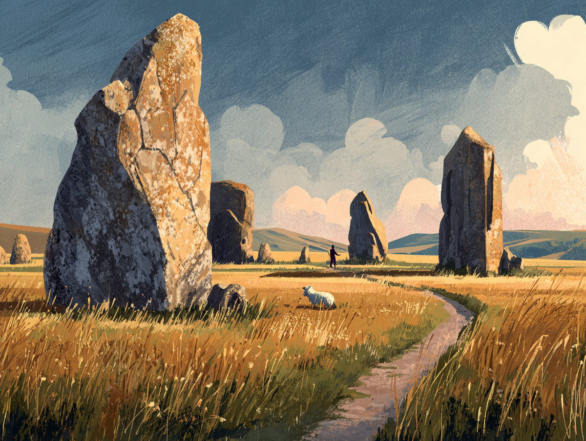
Your opening stretch is the Ridgeway as it's pictured — broad chalk track along open downland, with the sarsen stones of Fyfield Down underfoot from the first mile. Past Barbury Castle, an Iron Age hillfort, you climb onto Smeathe's Ridge where Bronze Age barrows mark the skyline. Then Liddington Castle, the White Horse cut into the slope at Uffington, and the Devil's Punchbowl coombe beyond. The country here is open and exposed — little shade, broad views, the high points marked by ancient earthworks. By East Ilsley you've crossed the spine of the Wessex Downs.

Crossing the Thames
East Ilsley to Aston Rowant

Crossing the Thames

The chalk falls away, the Thames cuts across the route, and the country shifts from open down to enclosed beech.
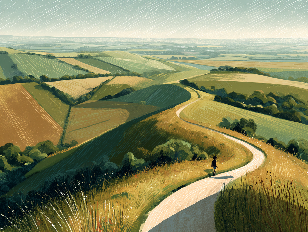
This is the chapter where the trail changes. You leave East Ilsley across Roden Downs — chalk grassland thinning into hedged farmland as the escarpment drops toward the river. The Thames crossing at Streatley and Goring is the trail's natural midpoint and the cleanest break in the country. East of Goring you follow the floodplain to Moulsford, then climb again through Grim's Ditch, an Iron Age earthwork, and up the Chiltern escarpment into beech woodland. By Aston Rowant the open downland is behind you and the country has closed in.

Into the Chilterns
Aston Rowant to Ivinghoe Beacon

Into the Chilterns

Beech woodland, a long chalk escarpment, and the Bridgewater Monument standing on the last high point of the trail.

The Chilterns as a single sustained section — beech woods, chalk grassland, and the escarpment running on your left. Past Whiteleaf Cross you climb Coombe Hill, the highest point of the Chilterns at 260 metres, with the wide view back over the Vale of Aylesbury. The trail drops into Wendover, then rises again into Aldbury Nowers, Pitstone Hill, and Steps Hill. The finish is Ivinghoe Beacon — a trig point on the chalk, the Bridgewater Monument on the next hill, and the train back from Tring station within walking distance.

— Now Make It Yours —

Find Your Ridgeway

Most people walk it in 6 days. Some want longer to take it all in. Others want the challenge of doing it quicker. Pick the trip that suits you — or customise yours below.

ABTOT 5690 · Financially protected Guidebook authors on every trail 72-hour confirmation or no charge Refund promise if we can't deliver
Your personalised Trail Book — trip overview, day by day itinerary and accommodation details

Included with every trip

Your personalised
Trail Book

Everything you need for every day of your trail — built around your exact itinerary. Your route, your accommodation, your packing list. Ready before you leave, works offline when you're out there.

Tonight's accommodation

Check-in time, room type, phone number and directions — all in one place

Day-by-day trail description

Route map, elevation profile and written description for each stage

Packing list and pre-trip checklist

Everything you need, nothing you don't. Tick items off as you go

Works offline

Open it once with data and it's yours — no signal needed on the trail

Included with every trip

Your route on every device you use

Your custom GPX file is built around your exact itinerary — day by day, door to door. Load it onto any device or app before you set off and navigate with confidence.

Works with

GPX route on Komoot iPhone app and Garmin watch
Two Sticks of Rock

Hear it from the trail

Elise Downing

Elise Downing ran the Ridgeway in three days. Two friends tried to walk the same distances. It went about as well as last time.

“Don't try and challenge yourself in every area at once. If you're nervous, step out of your comfort zone one area at a time.”
Read Elise’s story →
Craig, Trail Specialist at Big Trail Adventures
Talk to a Specialist

Knows the trail. Plans yours.

Craig Trail Specialist
The Ridgeway is the trail I usually point people to as a first National Trail. The first half is open and exposed, the second half wooded — it works either way, but most people walk it west-to-east. Plan a slower day on the chalk if the forecast is hot.

Craig has spent over ten years in adventure travel, most of it talking walkers through trails like this. He's helped hundreds of customers plan their Ridgeway, knows where people typically underestimate the exposure of the chalk downs in high summer, and has the calls in his pocket from those who walked it last week.

Ask Craig about the Ridgeway

If you want to talk through your timing, your fitness, your pace, or anything the planner can't answer — call. Most of our customers do, and Craig's the one who'll answer.

The Practical Side

Before You Book

The things walkers ask us most often — answered plainly, so you don't have to ring to find out.

How fit do I need to be?

You'll want to be comfortable walking around 22 km a day, or about 14 miles, for five consecutive days, with a daypack and some chalk-track climbs of 200–400 metres. The Ridgeway is one of the more accessible National Trails — no scrambling, no remote sections, well-signposted the whole way. If that pace sounds firm, our Explorer plan splits the route over eight days with shorter walking days and the option of a rest stop near Goring.

When should I walk it?

May to September is the settled stretch. June and September are the sweet spot — long days, the downs in flower or late-summer light, fewer crowds than peak August. April and October work if you're flexible with the weather. Winter is technically open but the chalk-and-clay tracks turn heavy from November to March, and the short daylight squeezes the longer middle stages. Heat is the main thing to plan around in July and August — the high downs offer little shade.

Do you include luggage transfer?

Yes — your luggage is moved between accommodation each day, with a 20 kg allowance per bag. You walk with a daypack containing whatever you need until evening. The Ridgeway is well-served by transfer services along its full length, with no remote stages requiring an alternative. Most walkers carry around 5–7 kg in their daypack: water, lunch, layers, waterproofs, and a small first-aid kit. Hot-day water is the one thing worth carrying more of on this trail.

What kind of accommodation do you book?

Family-run B&Bs and traditional village inns, never chains. All en-suite where available, with breakfast included and drying space for wet kit. The trail runs close to villages with established walker accommodation — The Inn With The Well at Ogbourne St George, the White Horse at Woolstone, pubs in Goring, Wallingford, and Wendover. Some stages put you a short detour off the trail to reach a bed — we book ahead and brief you on the side-trips before you walk.

Can I walk it solo?

Yes — the Ridgeway is one of the most solo-friendly National Trails. The path is consistently well-signed, it stays close to villages and roads with no remote multi-day sections, and you'll see other walkers most days in season. Single-occupancy supplements apply at most B&Bs; we'll work the price out with you when we plan it. The route is open downland and woodland the whole way — nothing exposed enough that you'd want company for safety.

What's the realistic total cost?

The Hiker package starts at £749 per person for the six-day Hiker pace, based on two people sharing. That covers all accommodation with breakfast, daily luggage transfer, the planning work, route notes, and our support line while you walk. On top, expect £15–20 a day for lunches, plus dinner and drinks (£25–35 for a pub meal in this part of the country). The Ridgeway is a National Trail with no entry fees or permits. Most walkers spend roughly £200–250 on top of the package across the trip, plus trains at each end.

Still not sure? Ring us on 0131 560 2740 — Craig usually answers.

Still Thinking?

Speak to Craig

If you've scrolled this far, we need to help you get onto this trail. The bit the planner can't help with — "is the pace right for me?", "is August really that busy?", "can we add a rest day in Keswick?" — that's a two-minute phone call. Most people who book the Ridgeway ring first.