
Hendaye to Sare
The Basque Coast
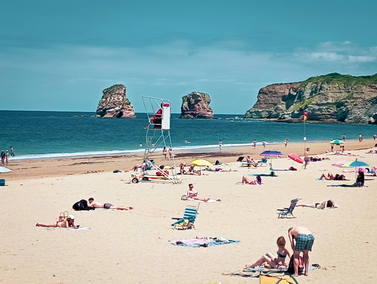
Atlantic coast and Basque farmland, traditional villages of white walls and red shutters, the first cols and the first views of the Pyrenees.

You'll walk 101 kilometres from the Atlantic at Hendaye to Saint-Jean-Pied-de-Port at the gateway of the Camino, taken along the Franco-Spanish border ridges — through Basque coastal villages of white walls and red shutters, limestone cliffs where griffon vultures circle, the high Iparla crest, and the first peaks above 1,000 metres. A route that opens the Pyrenees properly.
Your trail divides naturally into three parts — not by day, but by altitude. You start at sea level on the Atlantic, climb through limestone foothills and Basque hill villages, and finish on the Franco-Spanish border ridges, where the peaks rise above 1,000 metres.
Atlantic coast and Basque farmland, traditional villages of white walls and red shutters, the first cols and the first views of the Pyrenees.
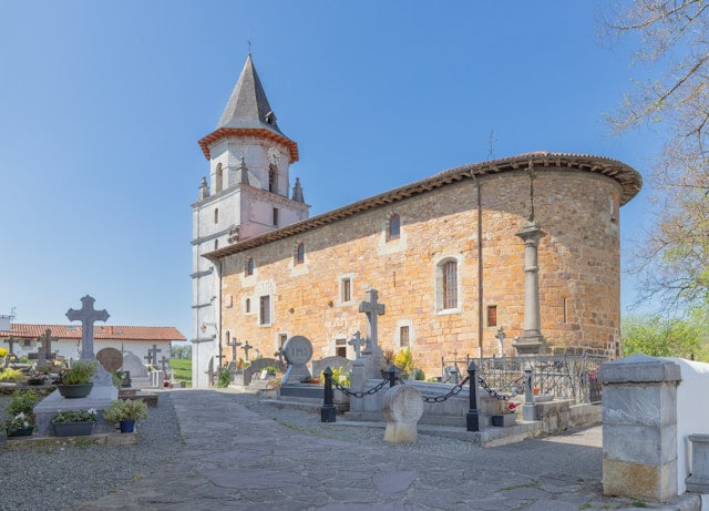
Bastide villages give way to limestone cliffs and griffon vultures, and the country starts to look like proper mountain ground.
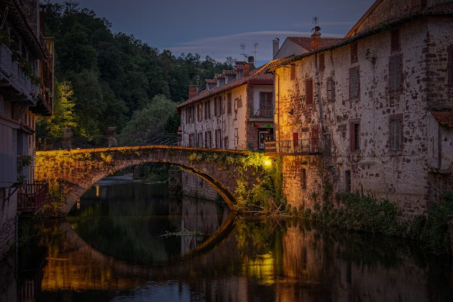
The trail climbs onto the Franco-Spanish border ridge for the first 1,000-metre peaks, then drops into the Camino gateway.

Included with every trip
Everything you need for every day of your trail — built around your exact itinerary. Your route, your accommodation, your packing list. Ready before you leave, works offline when you're out there.
Tonight's accommodation
Check-in time, room type, phone number and directions — all in one place
Day-by-day trail description
Route map, elevation profile and written description for each stage
Packing list and pre-trip checklist
Everything you need, nothing you don't. Tick items off as you go
Works offline
Open it once with data and it's yours — no signal needed on the trail
Included with every trip
Your custom GPX file is built around your exact itinerary — day by day, door to door. Load it onto any device or app before you set off and navigate with confidence.
Works with


The GR10's Atlantic section is what I send people to when they've done the West Highland Way or Tour du Mont Blanc and want a proper mountain trail in a quieter range. People underestimate the Iparla day — exposed ridge, 1,000-metre peaks, a long technical descent. Don't tack it onto anything else.
Craig has spent over ten years in adventure travel, most of it talking walkers through trails like this. He's helped hundreds of customers plan their GR10's Atlantic section, knows where people typically misjudge the jump from gentle coastal days to the exposed Iparla ridge, and has the calls in his pocket from people who walked it the week before.
If you want to talk through your timing, your fitness, your pace, or anything the planner can't answer — call. Most of our customers do, and Craig's the one who'll answer.
The things walkers ask us most often — answered plainly, so you don't have to ring to find out.
Still not sure? Ring us on 0131 560 2740 — Craig usually answers.
If you've scrolled this far, we need to help you get onto this trail. The bit the planner can't help with — "is the pace right for me?", "is August really that busy?", "can we add a rest day in Keswick?" — that's a two-minute phone call. Most people who book the GR10 Section 1: Hendaye to Saint Jean Pied de Port ring first.

