North Downs Way Overview
- An ancient pilgrimage route through stunning countryside
- Accessible sections near London, perfect for weekenders
- A unique blend of history and pastoral landscapes
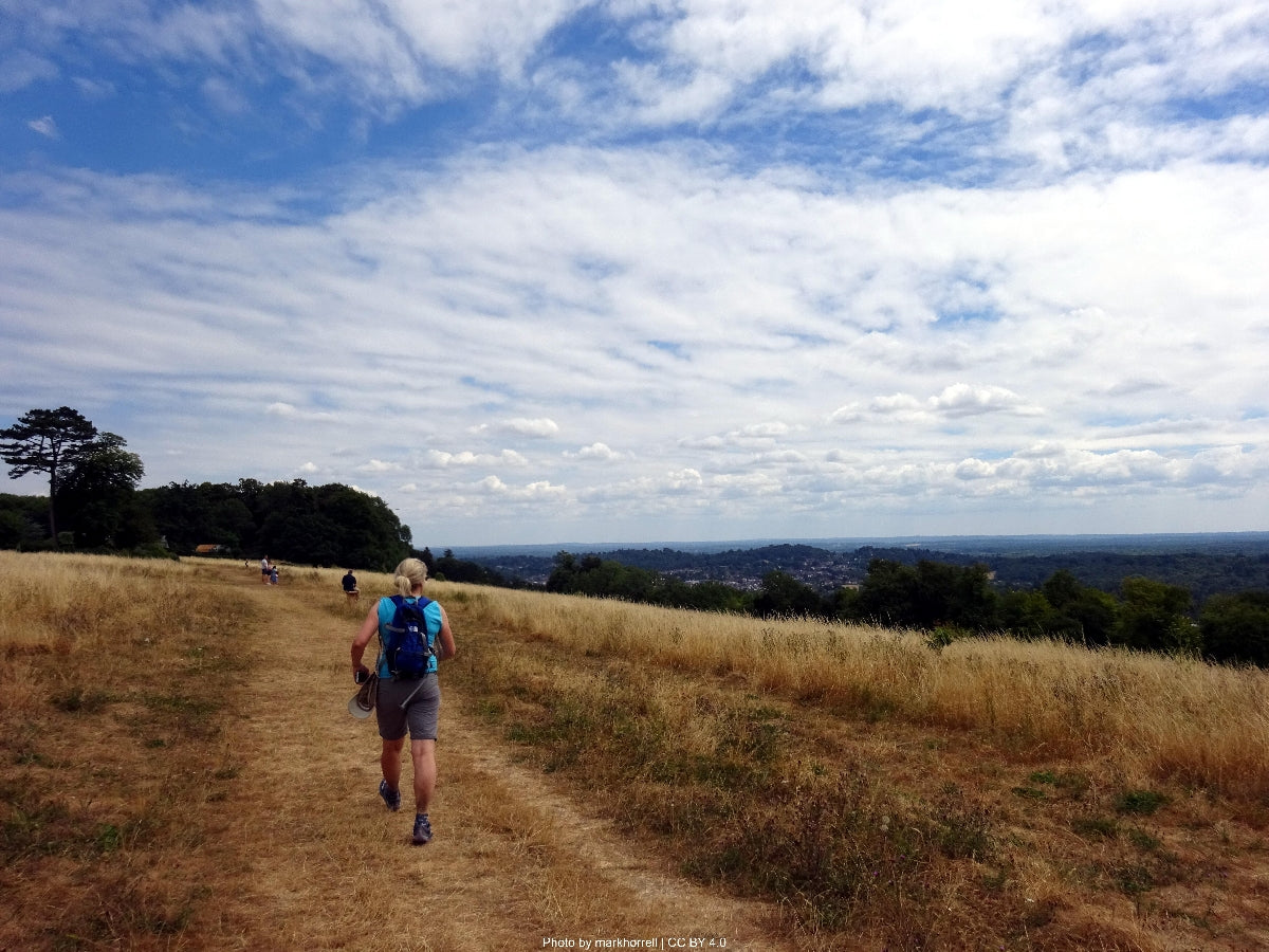
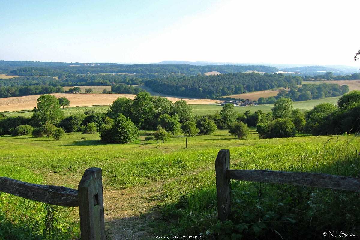
The North Downs Way National Trail weaves through 153 miles of southeastern England's most captivating landscapes, following ancient pilgrim routes from Farnham to Dover. This historic path traces the chalk escarpment of the North Downs, offering walkers a journey through both the Surrey Hills and Kent Downs Areas of Outstanding Natural Beauty. The trail provides a unique combination of accessible day-hiking near London and more challenging multi-day adventures through the heart of southeaste... Read more
| Hilliness | |
| Start Point | Farnham, Surrey |
| End Point | Dover, Kent |
| Activity Type | Walking, Hiking, Trail Running |
| Distance | 153 miles | 246 kilometers |
| Ascent | 3,800m | 12,467ft |
| When to go | April to October |
| Baggage Transfer | Available |
Custom Adventure Plan: £139.00
Book Now
Not ready to book?
Call us on 0131 560 2740
or enquire by email
What's included?
-
Custom Adventure Plan
-
Accommodation options for you
-
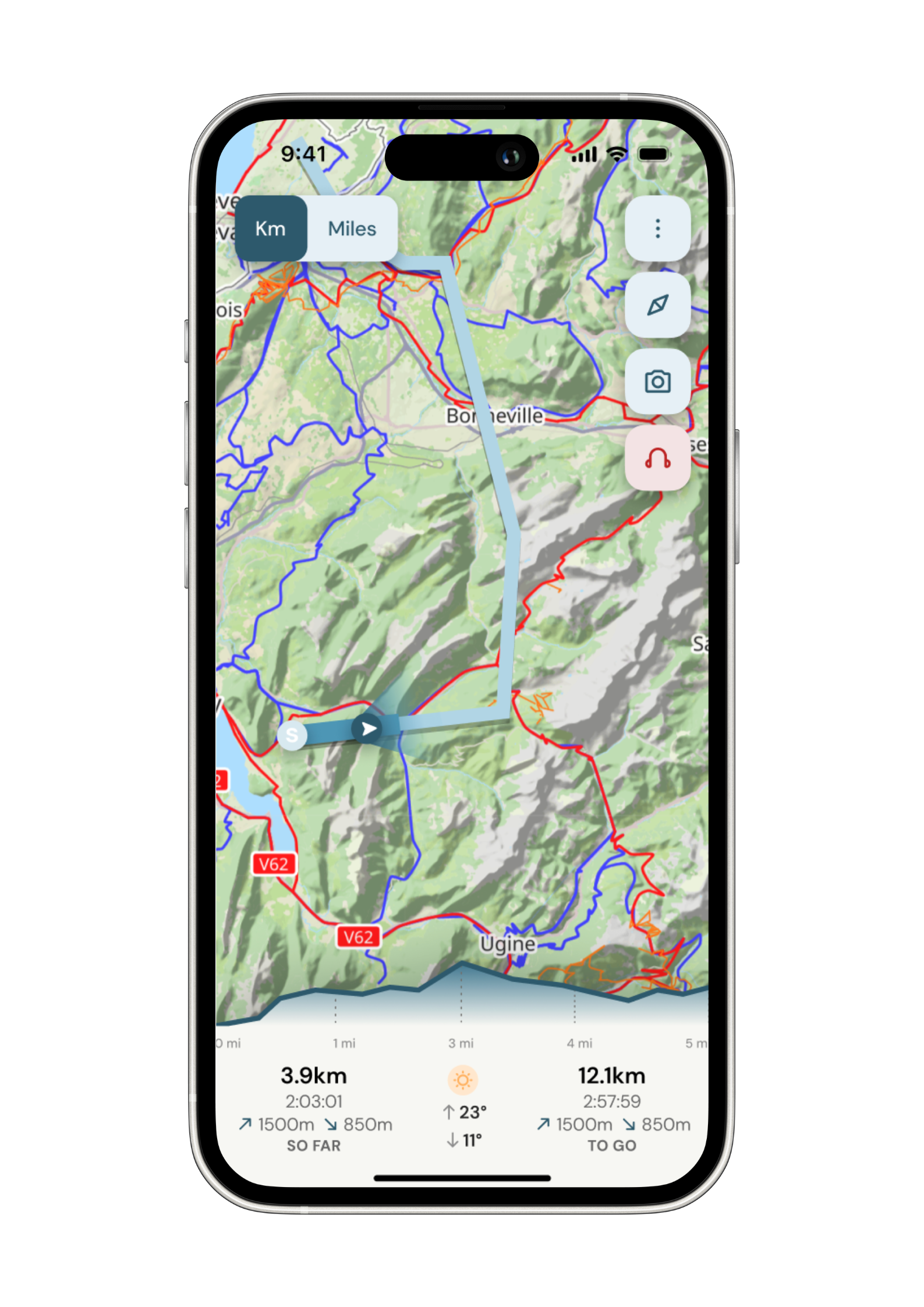
Door‑to‑door GPX in our app
-
On‑trail support
-
Share with up to four people
Sample Itinerary
Here's what's on the trail. We'll split the stages to each day just right for your pace.
Beginning in the historic market town of Farnham, this stage provides a gentle introduction to the North Downs Way. The trail climbs steadily through Farnham Park before entering the Surrey Hills AONB. Notable features include the ruins of Waverley Abbey, England's first Cistercian monastery, and the picturesque village of Puttenham. The sandy heathland of Puttenham Common offers diverse wildlife viewing opportunities. Water is available in Puttenham village and at the Watts Gallery tearoom. The approach to Guildford follows the ancient Pilgrim's Way, with expansive views across the Wey Valley. The stage concludes at the River Wey in Guildford, where numerous accommodation options and resupply points are available.
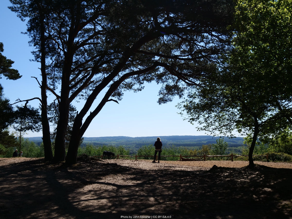
From Guildford, the trail climbs steeply to St. Martha's Hill, crowned by its historic hilltop church offering panoramic views across Surrey. The path continues through ancient yew woods and along the dramatic chalk spine of the Downs. Key features include Newlands Corner visitor center (water available) and the historic Silent Pool, associated with numerous local legends. The trail passes through extensive vineyards before reaching White Downs, offering spectacular views south across the Weald. The descent into Dorking provides views of Box Hill, with the stage ending in the market town with its numerous amenities and transport links.
This stage encompasses some of the trail's most iconic sections, beginning with the climb up Box Hill, famous for its zigzag path and Olympic cycling connection. The summit provides expansive views and hosts a National Trust café. The trail continues along the escarpment through Betchworth Quarries, offering interesting industrial heritage and rare chalk grassland species. Reigate Hill Fort presents another historical highlight, while Gatton Park showcases 18th-century landscaping. Water and refreshments are available at the Box Hill café and Reigate Hill servery. The stage concludes in Merstham, well-connected by rail to London.
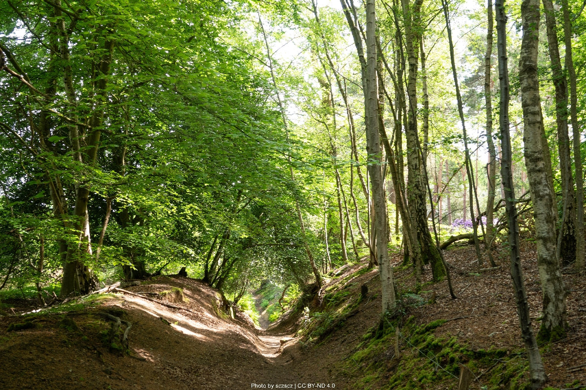
A shorter but scenic stage, this section features some of the best-preserved chalk grassland along the trail. The path climbs to Quarry Hangers, offering views across the Weald to the South Downs. The ancient Pilgrim's Way is particularly evident here, with clear hollow-ways worn by centuries of use. Notable features include the Whitehills viewpoint and the impressive Knights Hill. Water is available at the Quality Street café in Merstham and in Oxted. The descent into Oxted provides excellent transport connections and accommodation options.
Crossing from Surrey into Kent, this stage offers dramatic escarpment walking. The trail passes through Titsey Place estate, with its preserved Roman villa and formal gardens. Spectacular viewpoints include Botley Hill, the highest point on the North Downs. The path continues through ancient woodland and passes the historic villages of Tatsfield and Knockholt. Water sources are available at Titsey Place (seasonal) and in villages en route. The descent into Otford reveals its medieval palace ruins and perfect scale model solar system, with the village offering various amenities.
One of the longer stages, this section showcases the diversity of the Kent Downs. From Otford, the trail climbs to oldbury Hill Fort, an impressive Iron Age earthwork. The path continues through Trosley Country Park, offering excellent wildlife viewing opportunities. The Medway crossing provides dramatic views of Rochester Castle and Cathedral. Water and supplies are available at Trottiscliffe village and Cuxton. Rochester offers extensive accommodation options and excellent transport connections.
Leaving Rochester's historical centre, the trail climbs back to the downs through Kit's Coty House, a Neolithic burial chamber. The path offers extensive views across the Medway Valley and passes through traditional orchards and woodland. Key features include the Boxley Warren nature reserve and the ruins of Boxley Abbey. Water is available at Detling village and the Hook and Hatchet pub. Hollingbourne provides rail connections and limited accommodation options.
This stage features some of the most remote sections of the trail, with extensive downland views. The path passes through the Charitable Trust's extensive holdings, including ancient woodland and chalk grassland rich in orchids. Notable features include the Challock Forest and the Devil's Kneading Trough, a dramatic dry valley. Water is available at Charing and Wye. The historic village of Wye offers accommodation and supplies.
The southern route to Dover provides dramatic coastal views and challenging walking. Key features include the Wye Crown hill figure and extensive views across the Channel to France (on clear days). The trail passes through Folkestone's Battle of Britain Memorial and along the dramatic White Cliffs. Water is available at various points including the Clifftop Café. Dover offers extensive accommodation and transport options.
The alternative northern route passes through Canterbury, a UNESCO World Heritage site. From Wye, the trail crosses the Stour Valley, offering views of Canterbury Cathedral from miles away. The route passes through ancient woodland and traditional orchards before entering Canterbury. From Canterbury to Dover, the path follows the Via Francigena pilgrim route. Water and supplies are readily available throughout this stage. Both Canterbury and Dover offer extensive amenities and transport connections.
How long will it take?
Everyone has a different approach to trails. Here are our suggested times for the North Downs Way for different types of adventurers.
Here we have assumed that you will be out on the trail for around 8 hours per day, including regular breaks but not extended lunch stops.

12
Days
For walkers who love the journey as much as the destination.
You enjoy full days on the trail, moving steadily, soaking up the scenery — with plenty of time for food and drink stops along the way!

10
Days
For long-distance walkers who enjoy the challenge of a steady pace over varied terrain.
You’ve got the fitness to cover strong distances over several days — this is where most keen hikers will find themselves.

6
Days
The first of our faster categories — built for those who prioritise pace.
You move quickly with minimal stops, carry just the essentials, and have the fitness to handle long days and tough terrain.

5
Days
Our fastest pace – ideal for those used to ultramarathons.
You mix fast hiking with running on flats and descents, even over mountains. Speed and efficiency matter most, with minimal stops as you aim to complete each route as quickly as possible.
Essential Travel Information
- Prime hiking season runs April through October
- Spring offers abundant wildflowers and mild temperatures
- Summer provides the longest daylight hours but can be hot and busy
- Autumn offers pleasant temperatures and vibrant fall colors
- Winter hiking is possible but challenging due to mud and shorter days
- Trail can be extremely muddy after rain
- Consider timing around agricultural events and flower blooms
- Youth Hostels: £20-30 per night
- B&Bs: £60-100 per night
- Hotels: £80-150+ per night
- Camping: Limited official sites (£10-15 per night)
- Wild camping not legally permitted
- Pre-booking essential in peak season (June-August)
- Canterbury and Dover offer widest accommodation choice
- Popular stopover points: Guildford, Dorking, Rochester, Canterbury
- Nearest Airports:
- London Gatwick (closest to western terminus)
- London Heathrow
- London City Airport
- Public Transportation:
- Regular trains to Farnham from London Waterloo
- Frequent services along trail corridor
- Good bus connections in most towns
- Dover well-connected by high-speed rail to London
- Evacuation Points:
- Multiple rail stations along route
- Good road access at regular intervals
- Major hospitals in Guildford, Canterbury, and Dover
- Daily Costs:
- Budget: £50-70 (camping/hostels)
- Mid-range: £100-150 (B&Bs)
- Luxury: £150+ (hotels)
- Additional Costs:
- Train from London: £15-30
- Lunch: £5-10
- Dinner: £10-25
- No permits required
- Guide books: £10-15
- Peak Seasons:
- Busiest: July-August
- Moderate: May-June, September
- Quieter: October-April
- Demographics:
- Mix of day hikers and long-distance walkers
- Popular with history enthusiasts
- Many European pilgrimage walkers
- Significant weekend traffic near urban areas
- Cultural Considerations:
- Respect farmland and close gates
- Follow Countryside Code
- Many religious and historical sites
- Local pubs central to social experience
- Friendly atmosphere with regular interaction opportunities

