Tour du Mont Blanc Overview
- Alpine magnificence across three countries
- Cultural immersion with mountain hospitality
- Accessible challenge with comfortable refuges
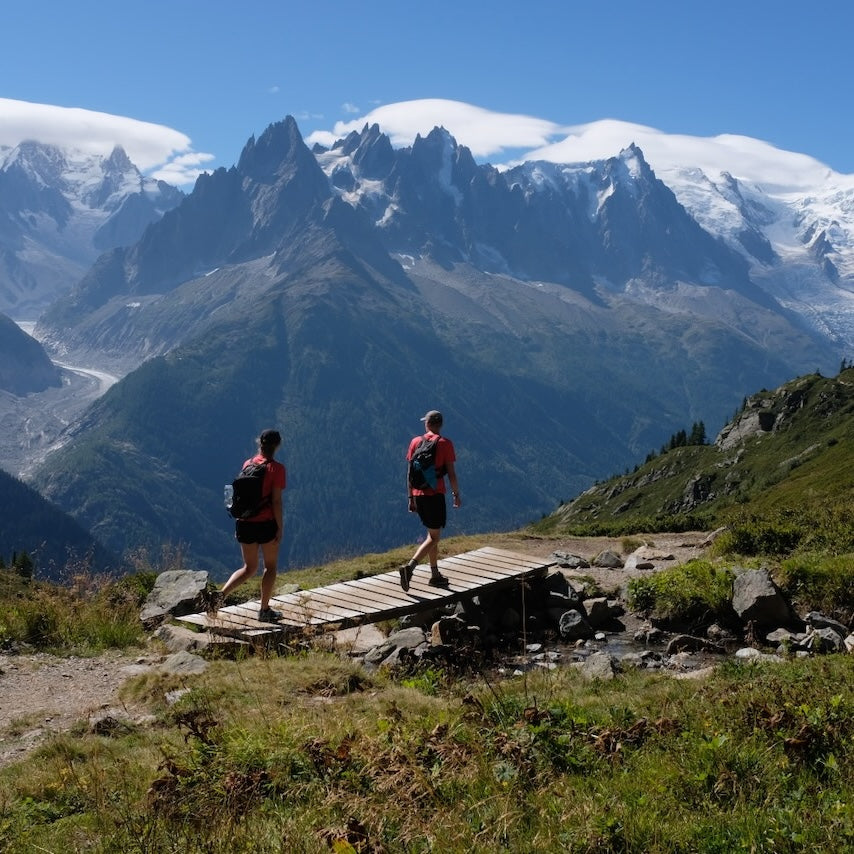
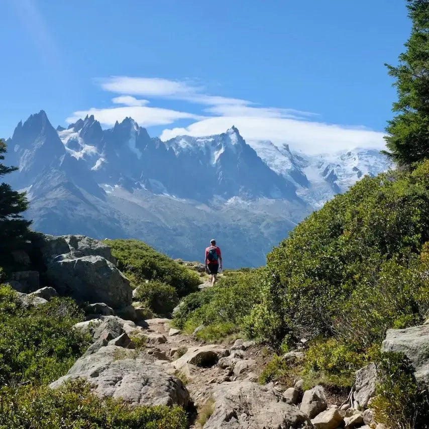
The Tour du Mont Blanc (TMB) stands as one of the world's premier long-distance hiking trails, circumnavigating the Mont Blanc massif through France, Italy, and Switzerland. This iconic 170-kilometer alpine journey takes trekkers through spectacular mountain landscapes dominated by the imposing presence of Mont Blanc (4,808m), Western Europe's highest peak. The route features approximately 10,000 meters of cumulative elevation gain and loss as it traverses high mountain passes, lush valleys, ... Read more
| Hilliness | |
| Start Point | Les Houches, France |
| End Point | Les Houches, France (circular route) |
| Activity Type | Walking, Hiking, Trail Running |
| Distance | 170km | 106 miles |
| Ascent | 10,200m | 33,464ft |
| When to go | Mid-June to mid-September |
| Baggage Transfer | Available |
From £1,250.00
Based on a Standard Package for two people.
Book Now
Not ready to book?
Call us on 0131 560 2740
or enquire by email
What's included?
-
Custom Adventure Plan
-
Accommodation options for you
-
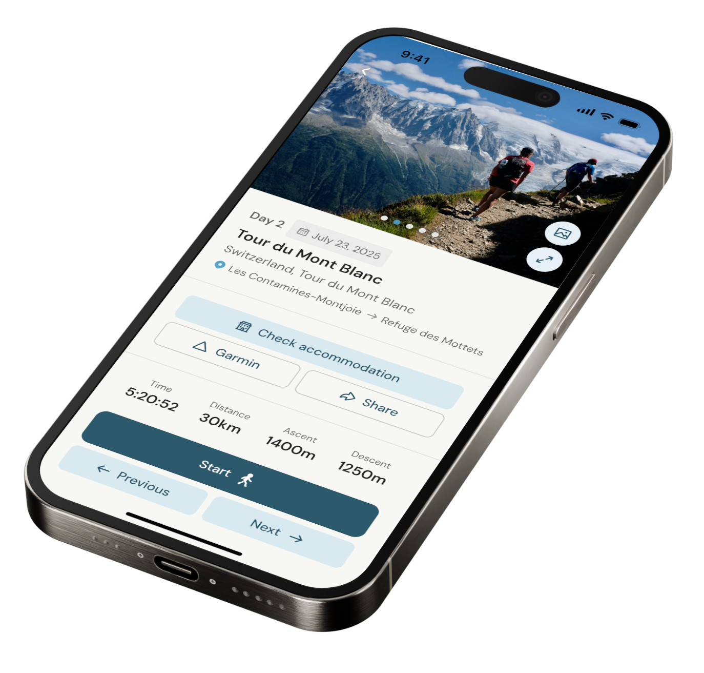
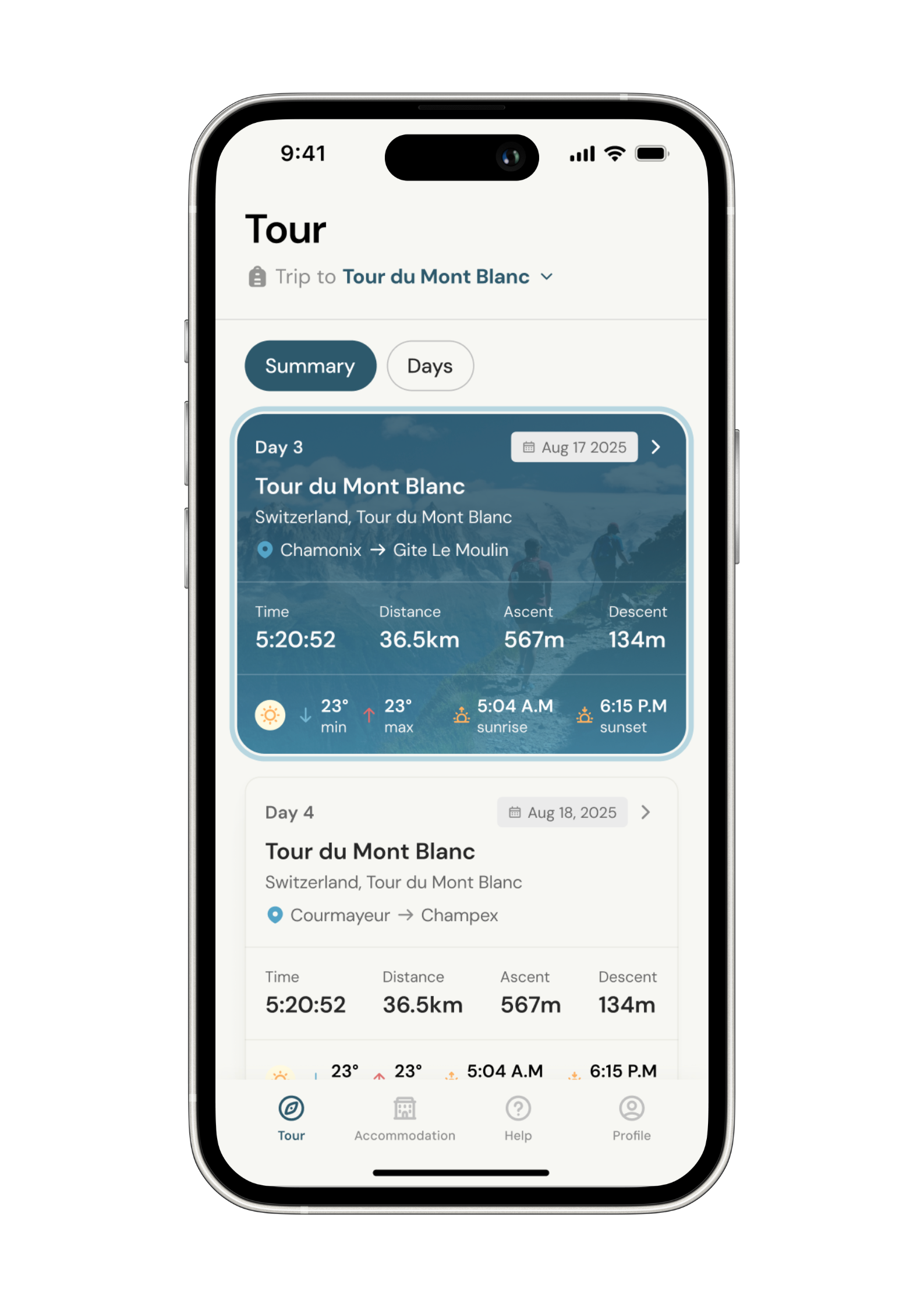
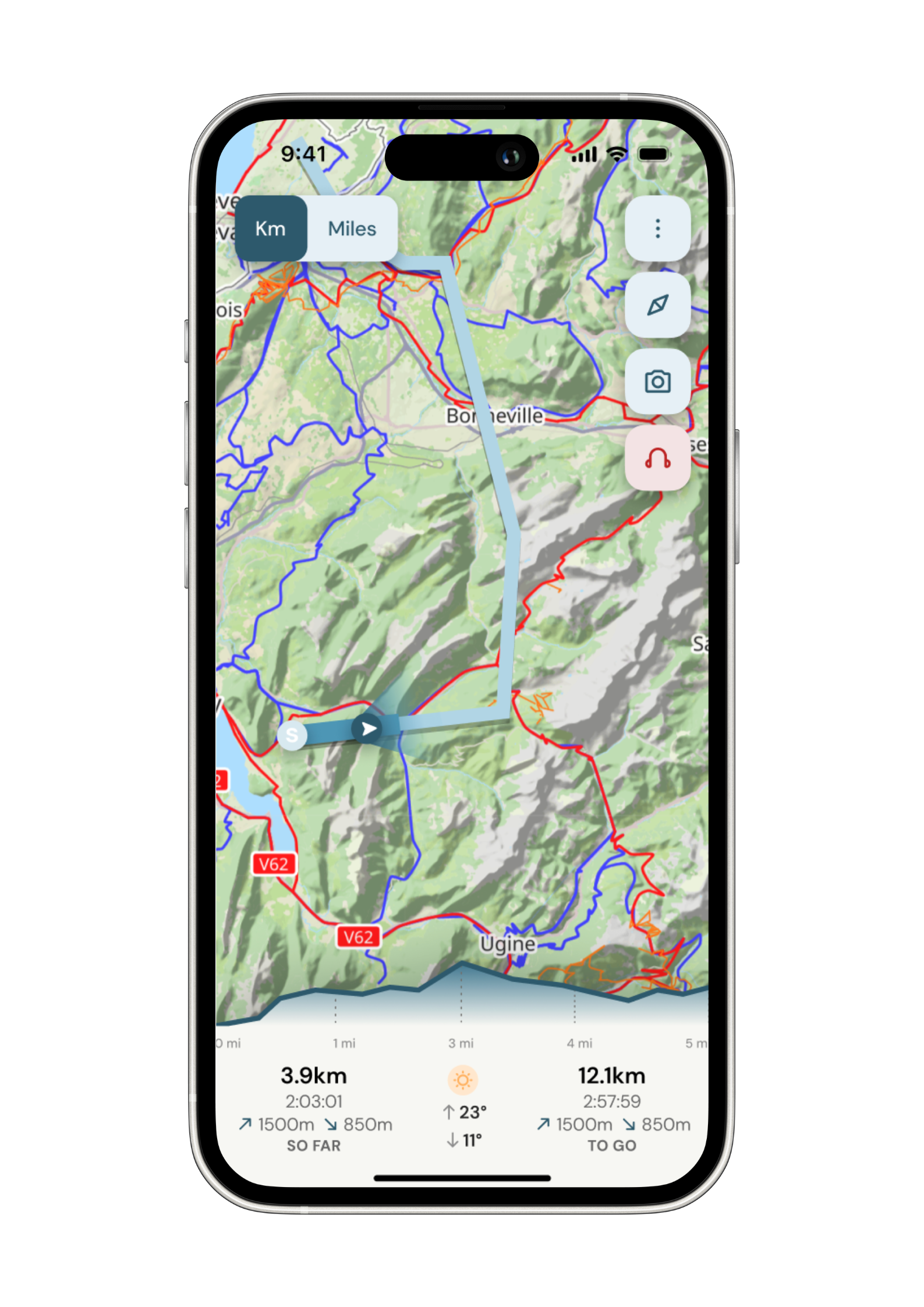
Door‑to‑door GPX in our app
-
On‑trail support
-
Share with up to four people
Sample Itinerary
Key Features: Col de Voza (1,653m), Bionnassay Glacier views, Bionnay village
Cultural Notes: Ancient Roman path sections, Notre Dame de la Gorge chapel
The classic TMB begins with a climb from Les Houches (1,010m) either via cable car or a steep ascent through pine forests to Col de Voza. This high point rewards with your first spectacular views of the Mont Blanc massif and Chamonix Valley. Descending through alpine meadows and hamlets, you'll cross the suspension bridge over the torrential Bionnassay stream with the glacier visible upstream. The trail continues through forests and pastureland to the charming village of Bionnay.
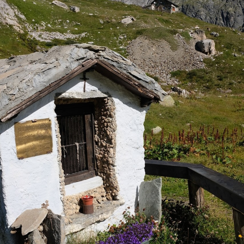
The final section follows an ancient Roman path alongside the mountain stream of Bon Nant, culminating at the Notre Dame de la Gorge chapel, a 17th-century pilgrimage site worth exploring. From here, it's a gentle walk into Les Contamines-Montjoie, a traditional Savoyard village offering accommodations ranging from guesthouses to hotels. Water is plentiful throughout this stage, with several mountain streams and fountains in villages. Les Contamines offers full resupply options with several grocery stores and pharmacies.
Key Features: Col du Bonhomme (2,329m), Col de la Croix du Bonhomme (2,483m), Refuge de la Croix du Bonhomme
Cultural Notes: Ancient Roman trade route, summer grazing traditions
Leaving Les Contamines, the trail follows the valley floor briefly before climbing steadily through forests to alpine pastures. At Chalet du Balme (1,706m), a seasonal refreshment stop, the landscape transforms as you enter the Montjoie Nature Reserve. The path steepens considerably as you approach Col du Bonhomme, often with lingering snowfields until early July. Weather can change rapidly here; this exposed section demands proper equipment and caution.
Continue climbing to Col de la Croix du Bonhomme, the day's highest point with panoramic views of Mont Pourri and the Vanoise massif. The historic Refuge de la Croix du Bonhomme stands at this pass, offering a welcome rest stop. The descent into Les Chapieux traverses open mountainsides with abundant alpine flora (gentians, edelweiss) and potential marmot and chamois sightings.
Les Chapieux, a small hamlet in the Vallée des Glaciers, offers limited but adequate accommodation at Refuge Les Mottets or Auberge de la Nova. Water sources diminish after leaving the valley, so carry sufficient supplies until reaching the refuge at Col de la Croix. This challenging stage offers profound solitude in its higher sections and showcases the dramatic transition from valley floors to high alpine environments.
Key Features: Col de la Seigne (2,516m), France-Italy border crossing, Val Veny, Mont Blanc's southern face
Cultural Notes: Historic border region, Italian mountain culture introduction
This compelling stage crosses from France into Italy via the historic Col de la Seigne. From Les Chapieux, follow the valley road briefly before tackling the steady climb to the border pass. The ascent offers increasingly dramatic views of glaciated peaks. At Col de la Seigne, pause to appreciate the magnificent panorama - the southern side of the Mont Blanc massif with its imposing glaciers unfolds before you, while behind lies the Vanoise National Park.
Descending into Italy's Val Veny, the character of the landscape shifts noticeably. The trail follows the lateral moraine of the Miage Glacier, Italy's largest, with its distinctive debris cover. The route passes Rifugio Elisabetta Soldini (2,195m), an excellent rest stop with stunning glacier views, before continuing down the valley past abandoned alps (summer farms).
The final stretch offers two options: the standard route through pine forests to Courmayeur, or the high variant via Mont Favre and Col Chécrouit with superior views. Both converge for the final descent to Courmayeur (1,224m), a sophisticated Italian mountain town with full services. Water sources are reliable at refuges and mountain streams until mid-valley. Courmayeur provides comprehensive resupply opportunities, excellent cuisine, and accommodation ranges from hostels to luxury hotels - worth considering a rest day here.
Key Features: Val Ferret, Mont de la Saxe ridge, spectacular Mont Blanc southern face views
Cultural Notes: Traditional Italian mountain architecture, alpine farming practices
A shorter but spectacular stage that reveals the Mont Blanc massif from its most impressive angle. From Courmayeur, climb steadily through pine forests to the hamlet of Villair, then continue ascending to reach the balcony trail along Mont de la Saxe. This elevated traverse provides uninterrupted views of Mont Blanc's Italian face - a dramatic wall of rock, ice and hanging glaciers. The panorama includes iconic peaks like Grandes Jorasses, Dent du Géant, and the Aiguille Noire de Peuterey.
The undulating trail follows a high traverse, passing through flower-rich alpine meadows and scattered larch forests. Wildlife opportunities abound, with ibex often seen on the rocky slopes above. Approximately halfway, Rifugio Bertone offers refreshments and a scenic terrace for enjoying the views.
The trail continues to Rifugio Walter Bonatti (2,025m), named after the legendary Italian mountaineer. This exceptional mountain refuge combines modern ecological design with traditional hospitality. The outdoor terraces provide front-row seats to the sunset alpenglow on Mont Blanc's glaciers. Water is available at both refuges, but limited between them. The rifugio offers dormitory accommodation and excellent Italian mountain cuisine. Advance booking is essential during peak season. This shorter stage allows time to savor the extraordinary mountain scenery and recuperate before the challenging day ahead.
Key Features: Grand Col Ferret (2,537m), Italy-Switzerland border crossing, Swiss Val Ferret
Cultural Notes: Linguistic transition (Italian to Swiss French), traditional Alpine agriculture
From Rifugio Bonatti, continue along the breathtaking balcony trail through Italian Val Ferret, maintaining your privileged viewpoint of Mont Blanc's spectacular southern aspect. The path gradually descends to the valley floor, passing through alpine meadows where dairy cattle graze during summer months. At Arnuva (1,769m), the final Italian hamlet, refreshments are available before the substantial climb to Grand Col Ferret.
The ascent to the pass traverses open alpine terrain with views extending back to the Grand Jorasses. The Grand Col Ferret marks the Italy-Switzerland border and a distinct landscape transition. The descent into Swiss Val Ferret reveals a more managed alpine environment with manicured pastures and traditional chalets. The first Swiss hamlet, La Peule (2,071m), features a working alpage (dairy farm) where cheese production can be observed, and refreshments are available.
Continuing through gentle Swiss meadowlands flanked by pine forests, the trail passes several small settlements before reaching La Fouly (1,600m), a charming Swiss mountain village. The cultural shift becomes apparent through architectural styles, language, and meticulous Swiss organization. La Fouly offers various accommodation options from the centrally located Hotel Edelweiss to smaller pensions. Water sources are plentiful throughout this stage. La Fouly provides basic resupply options at its small market, though selection is limited and prices reflect remote Swiss mountain economics.
Key Features: Traditional Swiss villages, River Dranse valley, Alpine forest trails, Champex-Lac
Cultural Notes: Traditional Valais architecture, Swiss pastoral lifestyle
This relatively gentle stage offers a cultural immersion into traditional Swiss mountain life. From La Fouly, the trail descends gradually through the upper Val Ferret alongside the young River Dranse. Unlike the dramatic high passes of previous days, today's route meanders through a sequence of well-preserved Alpine villages - Ferret, La Seiloz, and Praz de Fort - each showcasing traditional Valais architecture with timber chalets featuring distinctive stone-slab foundations and decorative balconies.
The trail frequently crosses flower-filled meadows where farmers harvest hay using traditional methods. Between villages, the path enters fragrant pine and larch forests, providing welcome shade. After Praz de Fort, the route diverts from the valley floor, climbing moderately through forest to the idyllic lakeside village of Champex-Lac (1,470m).
This postcard-perfect settlement sits beside a natural alpine lake, often called "Little Canada" due to its resemblance to Canadian mountain scenery. The lake's clear waters reflect surrounding peaks and forests. Champex offers excellent facilities, including hotels, guesthouses, restaurants, and a well-stocked supermarket for comprehensive resupply. The Alpine Botanical Garden (Flore-Alpe) contains over 4,000 mountain plant species and merits a visit. Water sources are plentiful throughout this stage. This easier day provides an opportunity to recover before tackling the challenging Fenêtre d'Arpette variant or standard Bovine route tomorrow.
Key Features: Alp Bovine, Mont Blanc views return, Trient Glacier glimpses
Cultural Notes: Swiss mountain farming traditions, alpine habitat conservation
From Champex-Lac, the main route follows a forest trail climbing steadily to the working farm at Alp Bovine (1,987m). This picturesque mountain pasture has been used for summer grazing for centuries, and its rustic café offers local cheese and refreshments. The trail traverses open meadows with expansive views back toward the Swiss Alps and forward to the Mont Blanc massif, which returns dramatically to view.
[Note: The alternative high route via Fenêtre d'Arpette (2,665m) is significantly more challenging with exposed sections and should only be attempted in good weather by experienced hikers.]
From Alp Bovine, the trail descends through larch forests to the Col de la Forclaz (1,527m), a historic mountain pass connecting the Rhône Valley with Chamonix. The final segment descends briefly before a short climb to the small village of Trient (1,300m), nestled beneath the distinctive pink spire of its church. The impressive Trient Glacier can be glimpsed hanging in the valley above.
Accommodation in Trient is limited to the Auberge du Mont Blanc and La Grande Ourse refuge, making advance booking essential. Both offer dormitory-style accommodation with half-board options featuring hearty Swiss cuisine. Water sources are reliable, with fountains in all villages and natural sources on the Bovine section. Trient has a small shop for basic supplies, but comprehensive resupply should be done in Champex. The village's position deep in its valley means early sunsets and spectacular alpenglow on surrounding peaks.
Key Features: Col de Balme (2,191m), Switzerland-France border crossing, Mont Blanc panorama, Aiguilles Rouges
Cultural Notes: Return to French alpine culture, cross-border history
Leaving Trient, a sustained forest climb leads to the alpine meadows below Col de Balme. The trail steepens for the final ascent to this significant pass marking the Swiss-French border. The stone refuge at the col (open seasonally) provides refreshments and a panoramic terrace. Here, the full Mont Blanc massif reveals itself once again, with the Chamonix valley visible below.
The descent into France offers two options: the direct route to Le Tour, or the recommended variant via the Aiguillette des Posettes (2,201m), which provides superior views of the Mont Blanc range, the Aiguilles Rouges, and the Chamonix valley. This ridgeline traverse requires minimal additional climbing and delivers some of the trek's most spectacular vistas.
The trail eventually descends through alpine meadows and scattered forests to Tré-le-Champ, then continues to Argentière (1,250m), a vibrant mountain town with the dramatic backdrop of the Argentière glacier. The cultural transition back to France is evident in architecture, cuisine, and language. Argentière offers various accommodation options from luxury hotels to budget gîtes. The town has excellent amenities, including outdoor equipment shops, pharmacies, ATMs, and supermarkets for comprehensive resupply. Water sources are available at the Col de Balme refuge and in valleys, but can be limited along the Posettes ridge section.
Key Features: Cheserys Lakes, stunning Mont Blanc reflections, Aiguilles Rouges Nature Reserve
Cultural Notes: Alpine habitat conservation, mountaineering history
This shorter stage climbs into the Aiguilles Rouges Nature Reserve, providing some of the trek's most spectacular Mont Blanc views. From Argentière, follow the valley briefly before ascending steadily through pine forests to Montagne de la Pendant. The trail emerges above treeline into the protected environment of the Aiguilles Rouges, characterized by unique alpine flora and fauna adapted to the crystalline rock terrain.
The highlight of this stage is the sequence of Cheserys Lakes (Lacs des Chéserys), a collection of small alpine tarns perfectly positioned to reflect Mont Blanc and the surrounding peaks. These lakes, set in a rocky granite landscape dotted with alpine flowers, provide exceptional photography opportunities, especially in early morning or evening light.
The trail continues with minimal elevation change to Refuge La Flégère (1,877m), dramatically positioned on the mountainside with sweeping views across to the Mont Blanc massif. The cable car station nearby operates seasonally, connecting to Chamonix (useful for those needing to resupply or access additional services).
The refuge offers dormitory accommodations and serves excellent mountain meals, but advance booking is essential during peak season. Water sources become limited after leaving the valley floor, so carry sufficient supplies. This shorter day provides opportunities for side explorations of the Aiguilles Rouges environment or simply enjoying the magnificent mountain panorama from the refuge terrace. Wildlife sightings commonly include marmots, chamois, and various alpine bird species including the majestic golden eagle.
Key Features: Grand Balcon Sud, Lac Blanc option, Col du Brévent (2,368m), Brévent summit (2,525m)
Cultural Notes: Chamonix mountaineering heritage, Alpine tourism development
The final stage delivers a fitting grand finale along the famous Grand Balcon Sud, a magnificent high traverse facing the Mont Blanc massif. From La Flégère, the trail climbs gently, with an optional detour to Lac Blanc (2,352m) - perhaps the most photographed location in the region, where the still waters create perfect reflections of Mont Blanc, the Aiguilles de Chamonix, and surrounding peaks.
Rejoining the main trail, continue southward with consistent panoramic views toward Col du Brévent. This high section traverses rocky terrain with some sections equipped with cables for security. Strong hikers should consider the short detour to the Brévent summit, offering a 360° panorama including Mont Blanc, the Aiguilles Rouges, Lake Geneva, and the Swiss Alps.
The long descent to Les Houches traverses various alpine environments - from rocky ridges through dwarf pine zones to mixed forest. The descent passes Refuge de Bellachat, the final mountain hut, before continuing through increasingly dense forest. Emerging at Les Houches completes the circuit, returning to your starting point with a profound appreciation for the Alpine world you've circumnavigated.
Les Houches offers numerous accommodation options and comprehensive services. Water sources are available at refuges but can be limited along ridge sections, so carry adequate supplies. This challenging final day encompasses much of what makes the TMB special - dramatic high mountain trails, exceptional views, varied terrain, and the satisfaction of completing one of the world's premier long-distance hiking routes.
Essential Travel Information
The optimal window for completing the Tour du Mont Blanc runs from mid-June to mid-September. July and August offer the most reliable weather and full operation of all facilities, but also bring the highest crowds and prices. Early season (mid-June to early July) often features abundant wildflowers but may require navigation of residual snowfields on high passes, particularly Col du Bonhomme and Grand Col Ferret.
Weather patterns can change rapidly in the Alps. Summer afternoons frequently bring thunderstorms, making early starts advisable. Temperature variations are significant, ranging from potentially freezing conditions at high passes to hot valley floors exceeding 30°C (86°F) in midsummer.
Seasonal hazards include snowfields until early July, thunderstorms throughout summer (typically afternoons), and potential early snowfall from mid-September. Trails generally remain snow-free from late June through September, but microspikes can be useful for early-season hikers.
Most refuges and mountain huts operate from mid-June until mid-September, with peak season services (including luggage transfers and full transportation networks) functioning optimally from late June through early September. Some valley facilities operate year-round, while high mountain accommodations close completely in winter.
The TMB offers a remarkable range of accommodation options:
- Mountain Refuges/Huts: Basic dormitory-style accommodations with shared facilities, typically offering half-board (dinner and breakfast). Prices range from €45-75 per person including meals. Examples include Rifugio Bonatti (Italy) and Refuge de la Croix du Bonhomme (France).
- Gîtes d'Étape: Valley-based dormitory accommodations, slightly more comfortable than mountain huts. Prices range from €40-65 per night with half-board.
- Hotels: Available in major stops (Chamonix, Courmayeur, Champex-Lac, Les Contamines) with prices ranging from €80-250 per night depending on standard and season.
- Guesthouses/B&Bs: Available in many villages, offering private rooms with shared or private bathrooms (€70-120 per night).
- Camping: Official campsites exist near most major stages with prices from €10-15 per tent. Wild camping regulations vary between countries and are generally restricted in France and Italy.
Advance booking is essential, particularly for:
- July and August (all accommodations)
- Weekend stays in popular locations (Courmayeur, Chamonix)
- The most popular refuges (Bonatti, Elisabetta, La Flégère)
Most accommodation should be booked 4-6 months in advance for peak season. Many huts and refuges begin accepting reservations in January for the coming summer season.
The primary gateway to the TMB is Geneva International Airport (GVA), located approximately 90km from Chamonix/Les Houches.
Transportation options include:
- Airport Transfers: Regular shuttle services connect Geneva Airport to Chamonix/Les Houches (€30-45 one-way, approximately 1.5 hours).
- Public Transit: Train from Geneva to St. Gervais-Le Fayet, then mountain railway to Les Houches/Chamonix (€35-45, approximately 3 hours total).
- Private Transfers: Available from €180-250 per vehicle (up to 8 passengers).
Once on the trail, public transportation options include:
- Bus networks in all three countries connecting major valleys.
- Cable cars/gondolas at key points (Bellevue in Les Houches, La Flégère, Courmayeur).
- Local taxis (expensive but available for emergency situations).
Key trailhead access points include:
- Les Houches: Traditional starting point with cable car option to bypass initial climb.
- Champex-Lac: Accessible by PostBus from Orsières train station.
- Courmayeur: Well-connected by bus/coach services to major Italian cities.
Emergency evacuation points exist at all major villages and at strategic mountain passes where vehicle access roads approach the trail. The most isolated sections (particularly between Col du Bonhomme and Les Chapieux/Val Veny) have limited emergency access.
A comprehensive 10-day self-guided TMB trek budget should account for:
Accommodation (per person):
- Mountain Refuges: €45-75/night (half-board)
- Hotels (valley stops): €80-150/night
- Average accommodation cost over 10 days: €60-100/night (€600-1000 total)
Transportation:
- Geneva Airport transfers: €60-90 return
- Cable cars/chairlifts (optional shortcuts): €20-40 total
- Emergency transportation fund: €50-100
Food and Supplies:
- Refuge half-board meals: Included in accommodation cost
- Packed lunches from refuges: €8-12 each
- Trail snacks and additional supplies: €10-15/day
- Valley restaurant meals: €20-30 per meal
- Total food budget beyond half-board: €150-250
Additional Expenses:
- Equipment rental if needed (poles, microspikes early season): €30-60
- Maps/guidebooks: €20-40
- Optional luggage transfer services: €150-250 for complete circuit
Total TMB Budget Range (10 days, excluding gear and flights):
- Budget approach (mostly refuges): €900-1200
- Mixed accommodation approach: €1200-1800
- Comfort approach (hotels where available): €1800-2500
The TMB ranks among Europe's most popular long-distance trails, hosting approximately 10,000 complete circuit hikers annually plus countless day and section hikers.
Peak crowding occurs from mid-July through late August, particularly at:
- Popular refuges (Bonatti, Elisabetta, La Flégère)
- Major mountain passes between 11am-2pm
- Key photographic locations (Lac Blanc, Col de Balme viewpoint)
For a quieter experience, consider:
- Hiking in late June or early September
- Walking counter-clockwise (against the traditional flow)
- Making early starts (7-8am) to reach popular viewpoints before crowds
- Booking mid-week refuge stays when possible
Cultural considerations vary between countries:
- French sections: Reserve refuge space well in advance, observe quiet hours
- Italian sections: More relaxed approach to timekeeping, emphasis on food quality
- Swiss sections: Precise organization, higher costs, immaculate maintenance
The typical TMB hiker demographic includes:
- International mix (Americans, British, Australian, French, German predominate)
- Age range primarily 30-65, with increasing numbers of younger hikers
- Generally experienced walkers, though technical expertise varies widely
- Both solo hikers and groups common (organized tours frequent in peak season)
Opportunities for solitude exist even in peak season by:
- Starting early (before 7:30am)
- Taking less-frequented alternative routes (Col Sapin variant, Mont de la Saxe ridge)
- Planning rest days in less popular locations (La Fouly instead of Courmayeur)
- Enjoying evening walks from refuges after day-hikers have departed
How long will it take?
Everyone has a different approach to trails. Here are our suggested times for the Tour Du Mont Blanc 2026 for different types of adventurers.
Here we have assumed that you will be out on the trail for around 8 hours per day, including regular breaks but not extended lunch stops.

14
Days
For walkers who love the journey as much as the destination.
You enjoy full days on the trail, moving steadily, soaking up the scenery — with plenty of time for food and drink stops along the way!

11
Days
For long-distance walkers who enjoy the challenge of a steady pace over varied terrain.
You’ve got the fitness to cover strong distances over several days — this is where most keen hikers will find themselves.

7
Days
The first of our faster categories — built for those who prioritise pace.
You move quickly with minimal stops, carry just the essentials, and have the fitness to handle long days and tough terrain.

5
Days
Our fastest pace – ideal for those used to ultramarathons.
You mix fast hiking with running on flats and descents, even over mountains. Speed and efficiency matter most, with minimal stops as you aim to complete each route as quickly as possible.
