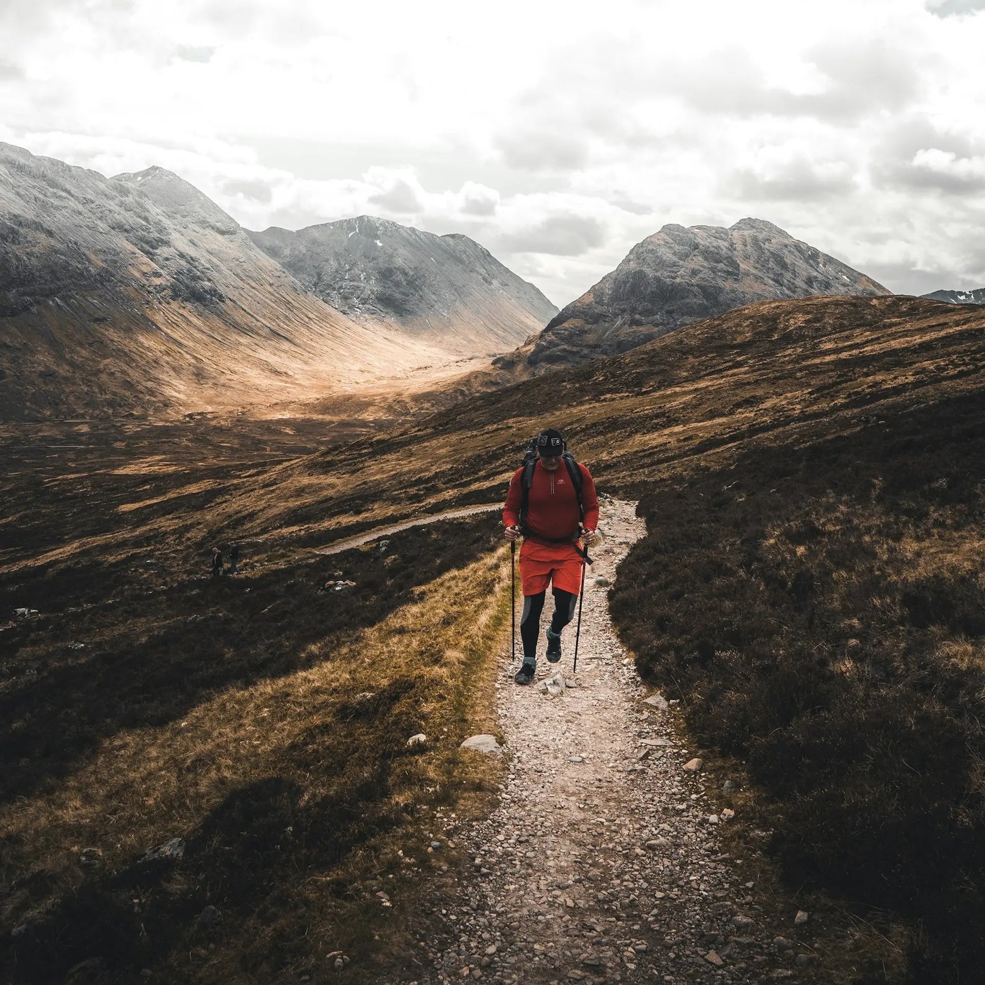
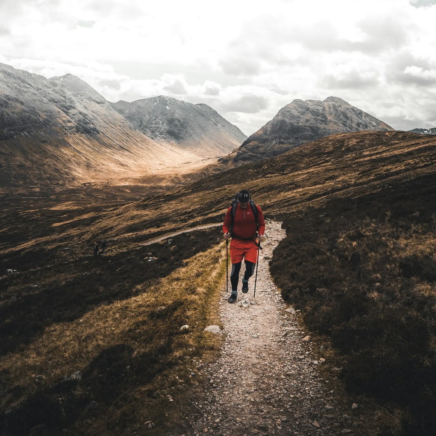
West Highland Way Overview
- Dramatic Highland scenery evolving daily
- Rich Scottish history alongside ancient paths
- Accessible yet wild adventure experience
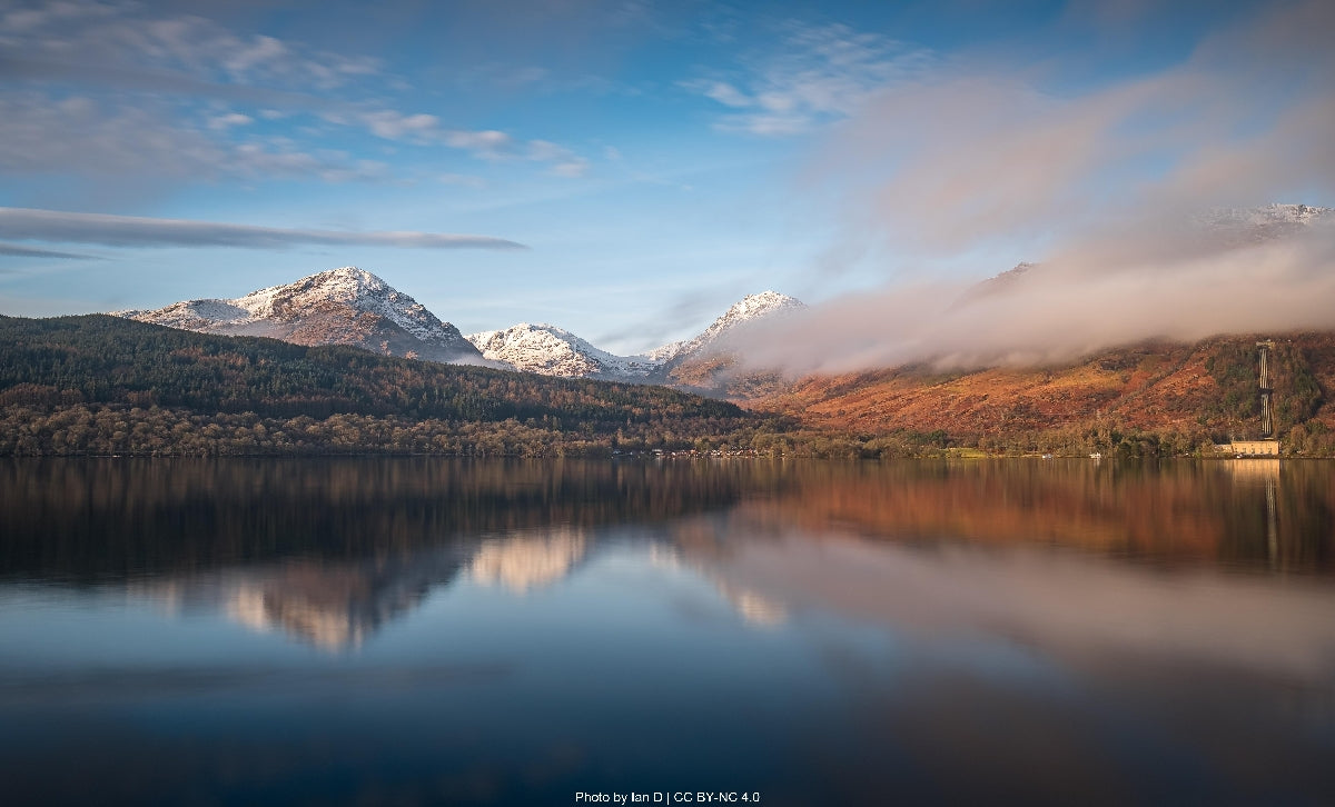
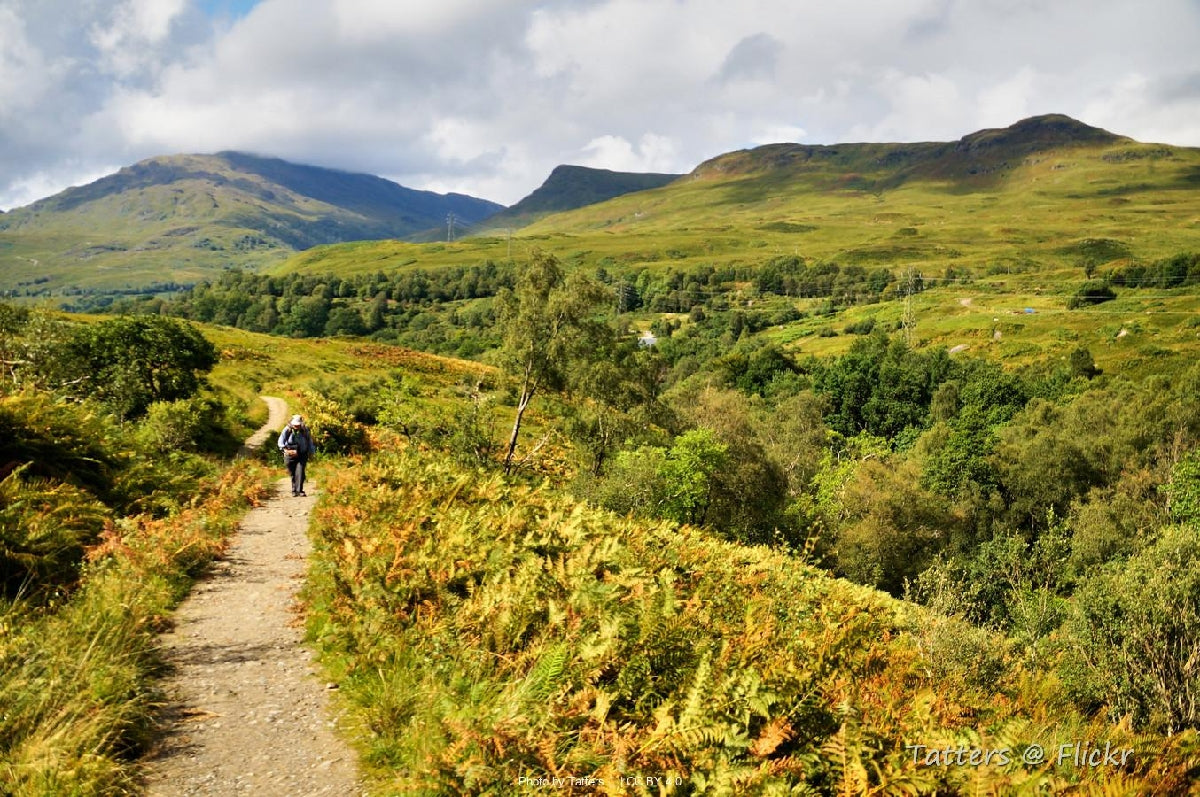
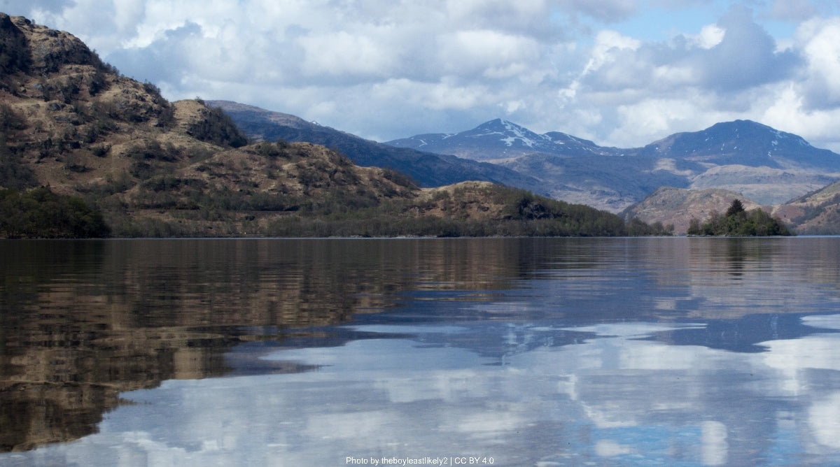
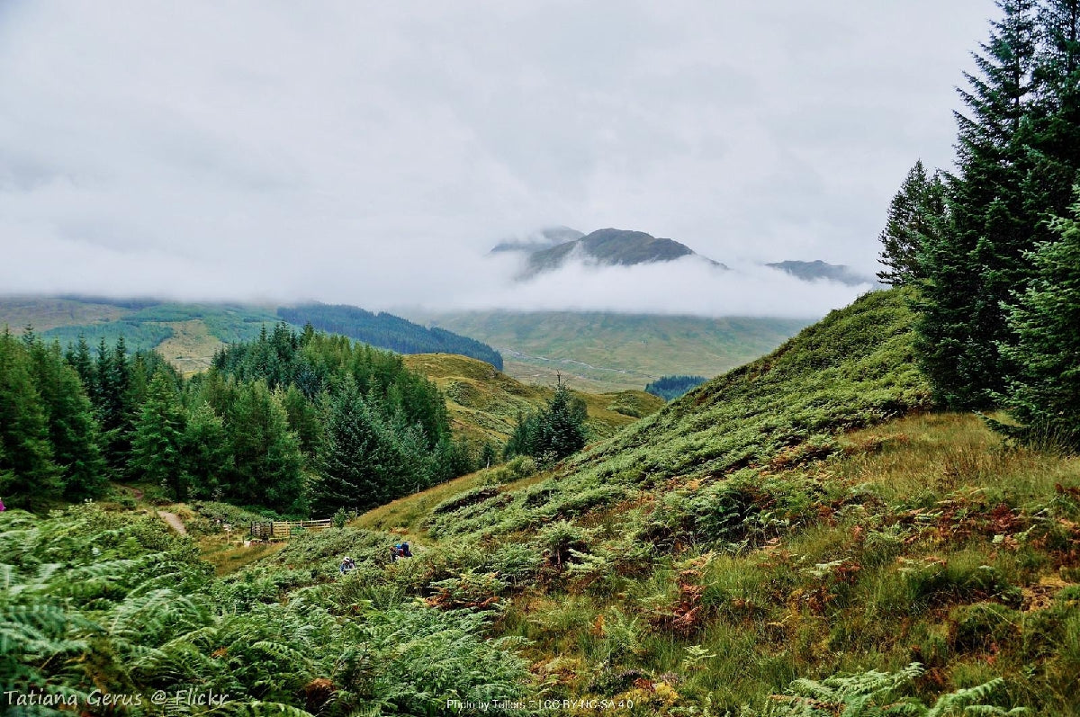
The West Highland Way stands as Scotland's first and most celebrated long-distance trail, spanning 154 kilometers through the stunning western Highlands. This iconic route traverses diverse landscapes from the pastoral lowlands around Glasgow northward into the ancient geological formations of the Scottish Highlands, culminating at the foot of Britain's highest mountain. The trail follows historic military roads, old drovers’ routes, and ancient footpaths that have connected Highland communit... Read more
| Hilliness | |
| Start Point | Milngavie (pronounced "Mull-guy"), near Glasgow |
| End Point | Fort William |
| Activity Type | Walking, Hiking, Trail Running |
| Distance | 154km | 96 miles |
| Ascent | 3,155m | 10,351ft |
| When to go | May to September (optimal: late May-June) |
| Baggage Transfer | Available |
Custom Adventure Plan: £114.00
Book Now
Not ready to book?
Call us on 0131 560 2740
or enquire by email
What's included?
-
Custom Adventure Plan
-
Accommodation options for you
-
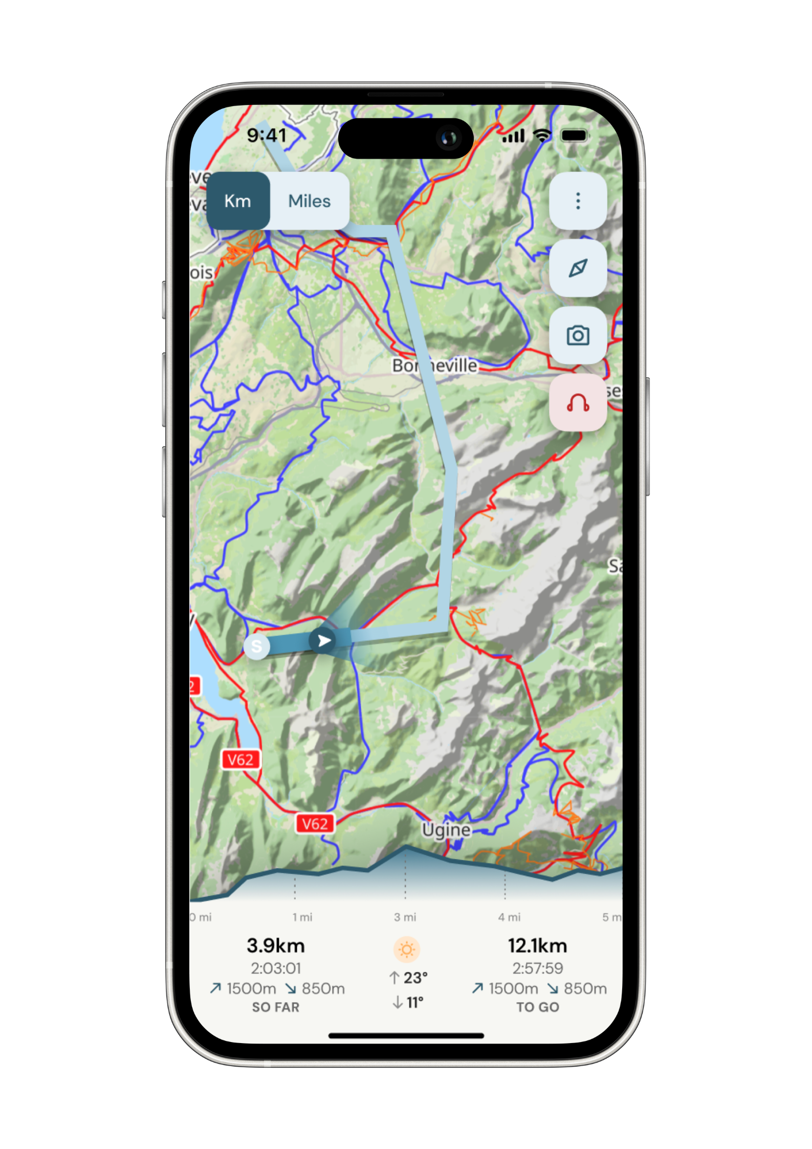
Door‑to‑door GPX in our app
-
On‑trail support
-
Share with up to four people
Sample Itinerary
Here's what's on the trail. We'll split the stages to each day just right for your pace.
Key Features: Craigallian Fire memorial, Mugdock Country Park, Dumgoyne distillery views
The journey begins in suburban Milngavie, quickly giving way to gentle countryside as the path follows the remains of a Victorian railway line. This stage offers an easy introduction to the trail with well-maintained paths through mixed woodland and pastureland. You'll pass the Craigallian Fire memorial, a tribute to unemployed Glasgow hikers of the 1930s who pioneered outdoor recreation in Scotland.
The route skirts the impressive Campsie Fells, with the distinctive volcanic plug of Dumgoyne visible to the west, home to the Glengoyne whisky distillery. Approaching Drymen, the landscape opens to reveal your first views of Loch Lomond shimmering in the distance, with the Highland Boundary Fault visible as a dramatic change in the landscape ahead – your first glimpse of the Highland terrain to come.
Drymen offers several accommodation options, including the historic Drymen Inn dating to 1734. Water is plentiful along this section with several streams crossing the path. The Beech Tree Inn near the trailhead makes an excellent lunch stop with its garden offering views toward your afternoon's journey.
Key Features: Conic Hill summit, Highland Boundary Fault, eastern shore of Loch Lomond, oak woodlands
This stage marks your entry into the Highlands proper as you cross the Highland Boundary Fault – a geological feature marking the division between Lowland and Highland Scotland. The trail climbs gradually through Garadhban Forest before ascending Conic Hill (361m), offering spectacular panoramic views over Loch Lomond and its scattered islands. The descent to Balmaha brings you to the shores of Britain's largest inland body of water.
From Balmaha, the path follows the eastern shoreline of Loch Lomond through ancient oak woodlands that form part of the Loch Lomond and Trossachs National Park. These woodlands, protected as a Special Area of Conservation, represent one of the finest examples of native upland oak habitat in Scotland, home to pine martens, red squirrels, and over 200 species of lichen.
The trail alternates between lakeshore sections and climbs through forested headlands, offering continuously changing perspectives of the loch and the imposing Ben Lomond (974m) dominating the skyline. Water is abundant, with multiple streams crossing the path and access to the loch itself. Rowardennan pier has historic significance as a crossing point for cattle drovers bringing herds from the Highlands to lowland markets. The Rowardennan Hotel provides accommodation, with alternatives at the SYHA youth hostel.
Key Features: Northern Loch Lomond, Rob Roy's Cave, challenging shoreline path, Falls of Falloch
Often considered the most technically challenging day of the Way, this stage follows the increasingly wild northern shores of Loch Lomond. From Rowardennan, the path becomes progressively more rugged, with sections requiring careful footwork over rocks and exposed tree roots. The trail alternates between elevated paths through native woodlands and rocky shoreline stretches with minimal elevation gain but demanding terrain.
Approximately halfway, you'll pass Rob Roy's Cave, a historic hideout of the famous Highland outlaw. The cave is accessible only from the water or via a challenging scramble from the path. The route passes through the remote settlement of Inversnaid, with its RSPB nature reserve protecting rare black grouse and golden eagles.
Beyond Inversnaid, the path navigates some of the most technically difficult terrain of the entire route, with boulder fields and narrow ledges requiring careful attention. This remote section offers exceptional opportunities to spot wildlife including otters and osprey. The day concludes at the Beinglas Farm camping area near Inverarnan, where the historic Drovers Inn, established in 1705, offers traditional Scottish hospitality and hearty meals. The inn's walls are adorned with memorabilia from centuries of Highland travelers, including items belonging to Rob Roy MacGregor himself.
Key Features: Glen Falloch, River Falloch waterfalls, views of Ben More and Stob Binnein, old lead mining sites
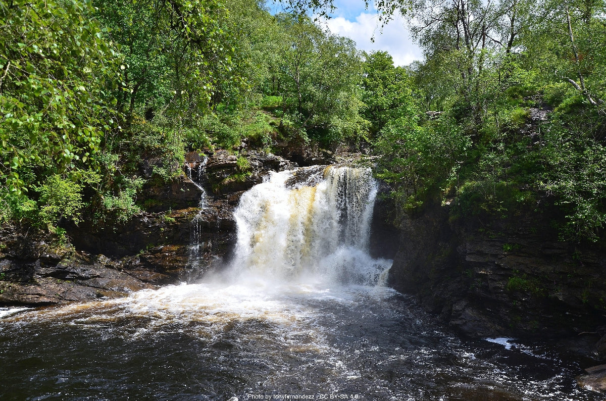
Leaving Loch Lomond behind, this stage marks a transition to Highland glens as you follow the River Falloch upstream through Glen Falloch. The trail initially parallels the river, offering views of several impressive waterfalls before gradually climbing out of the glen. The route passes beneath the impressive railway viaduct at Falls of Falloch, an engineering marvel from the West Highland Railway built in 1894.
After Crianlarich (a potential stopping point for those preferring shorter days), the path climbs through conifer plantations before emerging into more open ground with expansive views of Ben More (1,174m) and Stob Binnein (1,165m). The trail follows an ancient military road built by General Wade following the Jacobite uprising of 1715 – part of the British government's efforts to control the Highlands.
As you approach Tyndrum, you'll pass the remains of lead mines that operated from the 18th-19th centuries, with interpretive signs explaining their historical significance. The mining activity here dates back to medieval times when the lead was used for the roof of Iona Abbey. Tyndrum, despite its small size, offers several accommodation options and well-stocked stores for resupply. The name Tyndrum means "house on the ridge" in Gaelic, and the village's strategic location made it an important crossroads for Highland cattle drovers heading to southern markets.
Key Features: Bridge of Orchy, Rannoch Moor wilderness, Black Mount mountains, ancient drove roads
This demanding stage covers the most remote section of the entire trail, traversing the haunting wilderness of Rannoch Moor. From Tyndrum, the trail follows the River Fillan along a relatively flat section with views of the conical peak of Beinn Dorain (1,076m) dominating the horizon. Passing the Bridge of Orchy Hotel (a potential overnight stop to break this long section), the route climbs over a small hill offering the first views of the vast expanse of Rannoch Moor ahead.
Inveroran marks the last settlement before entering the true wilderness. From here, the trail follows the ancient drove road across Rannoch Moor, one of the last great wilderness areas in Britain. This elevated plateau of peat bogs, scattered lochans (small lakes), and exposed rock was formed by glacial action during the last ice age. In bad weather, this exposed crossing can be challenging, with few landmarks and rapidly changing conditions.
The path maintains a steady elevation as it crosses the moor, with the distinctive peaks of the Black Mount range to the west. The isolated Forest Lodge, once used by deer stalkers, marks the halfway point across the moor. The sense of remoteness is profound, with only the occasional passing train on the parallel West Highland Railway breaking the silence.
Approaching Kings House, the dramatic peaks of Buachaille Etive Mor (1,022m) come into view – one of Scotland's most photographed mountains. Kings House Hotel, dating from the 17th century, has provided shelter to travelers for over 400 years, including troops during the Jacobite risings. The hotel has a dedicated bunkhouse for hikers, while its historic bar displays a collection of climbing memorabilia from pioneers of Scottish mountaineering.
Key Features: Glencoe valley, Devil's Staircase mountain pass, views to Ben Nevis, descent to Kinlochleven
This stage encompasses some of the most dramatic mountain scenery of the entire route. From Kings House, the trail skirts the head of Glencoe, a valley steeped in dark history as the site of the 1692 Glencoe Massacre where 38 members of the MacDonald clan were murdered by government troops. The path provides spectacular views of the Buachaille Etive Mor and the Three Sisters of Glencoe, iconic Scottish mountain formations.
The main challenge of the day is the climb up the Devil's Staircase, a zigzagging path constructed by military road builders in the 18th century. At 550m, this marks the highest point of the entire West Highland Way. Despite its intimidating name, the ascent is steady rather than steep. From the summit, on clear days, hikers are rewarded with their first views of Ben Nevis, Scotland's highest mountain and the final destination of the trail.
The long descent to Kinlochleven follows the Allt a' Choire Odhair Bhig stream through increasingly verdant landscape as you drop from the exposed mountain terrain into the sheltered valley. Kinlochleven itself has a fascinating industrial heritage as the site of an aluminum smelter powered by hydroelectricity from the surrounding mountains. The former smelter now houses the Ice Factor, the world's largest indoor ice climbing facility.
The descent offers excellent birdwatching opportunities, with golden eagles sometimes visible soaring above the ridges. Kinlochleven offers good accommodation options, including the Blackwater Hostel housed in the former smelter workers' lodgings. The town's position at sea level makes it noticeably warmer than the exposed heights you've traversed during the day.
Key Features: Old military road, Mamores mountain range, Lairigmor pass, Glen Nevis, Ben Nevis views
The final stage of the West Highland Way begins with a steady climb out of Kinlochleven through pleasant woodland before emerging onto open hillside. The path follows another historic military road through the Lairigmor ('the great pass'), a wide glen flanked by the imposing peaks of the Mamores to the south.
This remote valley offers a sense of solitude as the path gradually ascends to approximately 330m, with views extending back to Kinlochleven and forward towards your final destination. The route passes the ruins of abandoned settlements, stark reminders of the Highland Clearances of the 18th and 19th centuries when traditional communities were displaced to make way for sheep farming.
As you begin the descent towards Glen Nevis, the imposing mass of Ben Nevis (1,345m) dominates the skyline ahead. The trail enters woodland again, primarily conifer plantation initially before transitioning to native woodland as you approach the glen floor. The path crosses the River Nevis and follows its course into the outskirts of Fort William.
The official end of the West Highland Way is marked by the "sore feet" statue in the center of Fort William – a bronze sculpture of a hiker resting tired feet. Many hikers choose to extend their journey with an ascent of Ben Nevis the following day, adding another 15km and 1,300m of elevation gain to their accomplishment. Glen Nevis contains several significant ecological habitats, including Atlantic oak woodland and alpine flora on the higher slopes of Ben Nevis itself. The visitor center at Glen Nevis provides excellent information about the natural and cultural heritage of the area.
Key Features: Mountain Trail Center, Ben Nevis summit plateau, mountain lake, historic observatory ruins
For many trekkers, the natural extension to the West Highland Way is conquering Scotland's highest peak. The standard "Mountain Track" (formerly called the Tourist Path) begins at the Glen Nevis Visitor Center, climbing steadily through increasingly barren mountain terrain. The lower sections pass through dwarf woodland before emerging onto open hillside with expanding views back over Glen Nevis and Loch Linnhe.
At approximately 570m elevation, the path crosses the Red Burn stream, which provides the last reliable water source on the ascent. The middle section features well-constructed switchbacks as the trail climbs the northwestern flank of the mountain. At around 1,000m, the environment transitions to true alpine terrain, with only mosses and lichens surviving the harsh conditions.
The final approach crosses the boulder-strewn summit plateau, which contains the ruins of the meteorological observatory that operated from 1883 to 1904, gathering some of Britain's most important early climate data. The summit itself features a shelter, trig point, and memorial to fallen climbers. On clear days (relatively rare, occurring only about 60 days annually), hikers are rewarded with views extending across much of Scotland, from the Cairngorms to the Inner Hebrides, and sometimes as far as Northern Ireland.
This extension requires proper mountain equipment regardless of season, including navigation tools, warm clothing, and emergency gear. The summit area contains dangerous cliff edges obscured in poor visibility, making navigation crucial. For many, summiting Ben Nevis provides the perfect capstone to the West Highland Way journey, connecting the walker to Scotland's highest point after traversing its most famous long-distance trail.
How long will it take?
Everyone has a different approach to trails. Here are our suggested times for the West Highland Way for different types of adventurers.
Here we have assumed that you will be out on the trail for around 8 hours per day, including regular breaks but not extended lunch stops.

8
Days
For walkers who love the journey as much as the destination.
You enjoy full days on the trail, moving steadily, soaking up the scenery — with plenty of time for food and drink stops along the way!

6
Days
For long-distance walkers who enjoy the challenge of a steady pace over varied terrain.
You’ve got the fitness to cover strong distances over several days — this is where most keen hikers will find themselves.

4
Days
The first of our faster categories — built for those who prioritise pace.
You move quickly with minimal stops, carry just the essentials, and have the fitness to handle long days and tough terrain.

3
Days
Our fastest pace – ideal for those used to ultramarathons.
You mix fast hiking with running on flats and descents, even over mountains. Speed and efficiency matter most, with minimal stops as you aim to complete each route as quickly as possible.
Essential Travel Information
The West Highland Way is best hiked between May and September, with late May through June offering optimal conditions – longer daylight hours, established good weather patterns, fewer midges (Scotland's notorious biting insects), and wildflowers in bloom.
Weather in the Scottish Highlands is notoriously changeable in all seasons. Summer temperatures typically range from 10-20°C (50-68°F), but prepared hikers should be equipped for potential temperature drops, especially on exposed sections like Rannoch Moor where conditions can change rapidly. Annual rainfall averages 2,000mm+ in the northern sections, with precipitation possible year-round.
Winter attempts (November-March) are recommended only for experienced winter hikers with proper equipment, as daylight hours are extremely limited (7-8 hours), snow can cover trail markers, and sections above 300m elevation frequently experience subzero temperatures and white-out conditions.
Seasonal hazards include:
- May-September: Highland midges (tiny biting insects) are most prevalent in still, humid conditions, particularly dawn and dusk
- October-April: Snow and ice on higher sections, particularly the Devil's Staircase and approaches to Kinlochleven
- Year-round: Flash flooding at stream crossings after heavy rain, particularly between Inversnaid and Inverarnan
Most facilities operate from April through October, with reduced services in shoulder seasons. Several hotels and hostels along the route close completely from November to March, making accommodation planning crucial for off-season attempts.
The West Highland Way offers diverse accommodation options to suit various budgets:
Hotels and Inns (£80-150/night):
- Available in all major stopping points (Drymen, Balmaha, Rowardennan, Inverarnan, Crianlarich, Tyndrum, Bridge of Orchy, Kings House, Kinlochleven, Fort William)
- Advance booking essential from June-August, recommended 4-6 months ahead
- Notable historic options include the Kings House Hotel (17th century drovers' inn) and the Drovers Inn at Inverarnan (1705)
B&Bs and Guesthouses (£50-90/night):
- Abundant in villages along the route
- Often include hearty Scottish breakfasts ideal for hikers
- Many offer packed lunch services for the following day
- Book 3-4 months ahead for summer season
Hostels (£25-35/night):
- SYHA hostels in Rowardennan, Crianlarich and Glen Nevis
- Independent hostels in Drymen, Balmaha, Inverarnan, Tyndrum, Kings House, and Kinlochleven
- Most offer private rooms and dormitory options
- Kitchen facilities for self-catering
- Booking 2-3 months ahead recommended in peak season
Bunkhouses (£20-30/night):
- Basic accommodation with shared facilities
- Available at Inversnaid, Inverarnan, Bridge of Orchy, and Kings House
- Generally no advance booking required except July-August
Camping (£7-12/night at formal sites, wild camping free):
- Formal campsites with facilities at Drymen, Balmaha, Rowardennan, Inverarnan, Tyndrum, and Glen Nevis
- Wild camping permitted under Scottish Land Access Code (except eastern shore of Loch Lomond between Drymen and Rowardennan where restrictions apply)
- Numerous natural water sources along route (treatment recommended)
Popular stopping configurations include:
- 7-day itinerary: Milngavie → Drymen → Rowardennan → Inverarnan → Tyndrum → Kings House → Kinlochleven → Fort William
- 8-day itinerary: Milngavie → Drymen → Balmaha → Rowardennan → Inverarnan → Tyndrum → Kings House → Kinlochleven → Fort William
- 5-day itinerary (experienced hikers): Milngavie → Balmaha → Inverarnan → Bridge of Orchy → Kinlochleven → Fort William
Several baggage transfer services operate along the route (approximately £9 per bag per stage), allowing hikers to walk with day packs only.
The West Highland Way benefits from excellent public transportation connections despite its remote nature:
Nearest Airports:
- Glasgow International Airport (20km from Milngavie trailhead)
- Direct train connection from Glasgow Airport to Milngavie (approximately 55 minutes)
- Return flights available from Glasgow to major European hubs and London
Trailhead Access:
- Milngavie is served by regular trains from Glasgow Queen Street station (25 minutes)
- First ScotRail buses connect Glasgow city center to Milngavie (35 minutes)
- Dedicated trailhead marker in Milngavie town center, 5 minutes walk from train station
End Point Transportation:
- Fort William has direct train service to Glasgow via the West Highland Line (one of Europe's most scenic railway journeys, approximately 4 hours)
- Citylink buses connect Fort William to Glasgow, Edinburgh, and Inverness (3-5 hours)
- The Jacobite Steam Train (May-October) offers a premium experience from Fort William to Mallaig
Emergency Access Points:
- Balmaha (Stage 2) - road connection to Drymen and Glasgow
- Rowardennan (Stage 2) - limited road access to Drymen
- Inversnaid (Stage 3) - road connection to Aberfoyle
- Inverarnan (Stage 3/4) - A82 main road access
- Crianlarich (Stage 4) - Train station with connections to Glasgow
- Bridge of Orchy (Stage 5) - Train station and A82 road access
- Kings House (Stage 5/6) - A82 road access
- Kinlochleven (Stage 6/7) - B863 road connection to Fort William
Mobile Phone Coverage:
- Reliable coverage in all settlements
- Limited or no coverage on Rannoch Moor and some sections of Loch Lomond
- Emergency phones at Inversnaid Hotel and Kings House
Accommodation Costs (8-night journey, per person):
- Budget option (camping/hostels): £160-240
- Mid-range option (mix of hostels/B&Bs): £280-400
- Premium option (hotels/inns): £500-800
Transportation Expenses:
- Return flights to Glasgow from European destinations: £80-200
- Train: Glasgow to Milngavie: £4-6
- Train: Fort William to Glasgow: £30-45
- Airport transfers in Glasgow: £12-18
- Baggage transfer services (optional): £60-80 per person for complete route
Food and Supplies:
- Self-catering budget: £15-25 per day
- Café/pub meals budget: £30-50 per day
- Trail snacks and packed lunches: £8-15 per day
- Water treatment tablets/filter: £20-40 (one-time purchase)
Additional Expenses:
- No permits required for the West Highland Way
- Guidebook and maps: £15-25
- Optional side trips (e.g., Glengoyne Distillery tour): £12-15
- Ben Nevis guided ascension (optional): £40-60 per person
- Scottish Youth Hostel Association membership (optional but provides discounts): £15 annual fee
Typical Total Budget Range (excluding flights):
- Budget hiker (camping, self-catering): £400-600
- Mid-range (mix of accommodations): £700-1,000
- Comfortable experience (hotels, eat out): £1,100-1,500
The West Highland Way sees approximately 36,000 complete through-hikers annually, plus countless day-hikers on popular sections.
Peak Seasons and Crowding:
- Busiest period: Mid-June through August, particularly during Scottish school holidays (late June-mid August)
- Bank holiday weekends (especially May) see significant day-hiker traffic near Milngavie and Fort William
- Rowardennan to Inverarnan section experiences heaviest use due to day hikers from Glasgow
Quieter Alternatives:
- Mid-April to early May offers relative solitude with generally stable weather
- September to early October provides autumn colors with significantly fewer hikers
- Weekday starts (Monday-Wednesday) avoid weekend crowds at popular stopping points
- Walking north to south (reverse direction) significantly reduces encounters, though navigation is slightly more challenging
Cultural Considerations:
- The trail passes through traditional Highland communities where Gaelic culture remains important
- Many placenames are Gaelic in origin, with interpretive signs explaining their meanings
- The route passes sites of historical significance relating to clan conflicts and the Jacobite risings
- "Leave No Trace" principles are strongly encouraged on all Scottish trails
Typical Hiker Demographics:
- International hikers comprise approximately 40% of users (primarily German, Dutch, American, and Scandinavian)
- Age range spans from students to active retirees, with most hikers between 30-65
- Solo hikers, couples, and small groups predominate; large organized groups are uncommon
- Approximately 60% of hikers use baggage transfer services
Opportunities for Solitude:
- Early morning starts (before 7:30am) provide relative solitude even in peak season
- The Rannoch Moor crossing (Stage 5) offers genuine wilderness experience regardless of season
- Northern Loch Lomond shoreline (Rowardennan to Inverarnan) provides secluded wild camping opportunities
- Lairigmor pass on the final day often sees few other hikers, especially in afternoon hours
The West Highland Way balances accessibility with authentic Highland experiences, making it ideal for hikers seeking both social connections at day's end and meaningful wilderness immersion during walking hours. Its status as Scotland's premier long-distance trail ensures excellent infrastructure without compromising the sense of journey through one of Europe's last wild landscapes.
