Coast to Coast Walk Big Trail Adventures
Coast to Coast

Your walk from
St Bees to
Robin Hood's Bay

You'll walk 309 kilometres across the width of northern England, coast to coast, over the high Lakeland fells, through Swaledale, and across the open moors to the North Sea. Three national parks in one line, taken at your own pace. The walk most British walkers mean to do once.

Distance
309 km · 192 mi
Ascent
6,000 m
Duration
6–16 days
Trips from £1729pp See packages →
From per person
Plan your trip

Visiting From Australia

A lot of the people on this trail have flown a long way to be here, and the trail is one part of a longer trip.

We store the luggage you don't want on the walk, move what you need ahead of you each day, and shape the days around what else you've planned.

Northern England UK
Trail Essentials
Start
St BeesCumbria
End
Robin Hood's BayNorth Yorkshire
Distance
309 km192 miles
Total Ascent
6,000 m19,686 ft
Difficulty
Challenging
Hilliness
Hilly
Time to Complete
Explorer
16 days ~19 km/day
Hiker
13 days ~23 km/day
Fastpacker
9 days ~34 km/day
Trail Runner
6 days ~51 km/day

When to Walk

Best Good Avoid
JanFebMarAprMayJunJulAugSepOctNovDec
The Coast to Coast runs 192 miles across the width of northern England, from the Irish Sea at St Bees to the North Sea at Robin Hood's Bay. Alfred Wainwright drew the line in 1973, linking three national parks without ever making it official, and it has been the route walkers measure themselves against ever since. You climb the high Lakeland fells, cross the Pennine watershed at Nine Standards Rigg, drop through Swaledale and its lead-mining country, then take the long heather crossing of the North York Moors down to the sea. Most people give it a fortnight. It asks for fitness and a tolerance for a wet, exposed day or two, and it rewards both.
Walking the Coast to Coast

How The Trail Unfolds

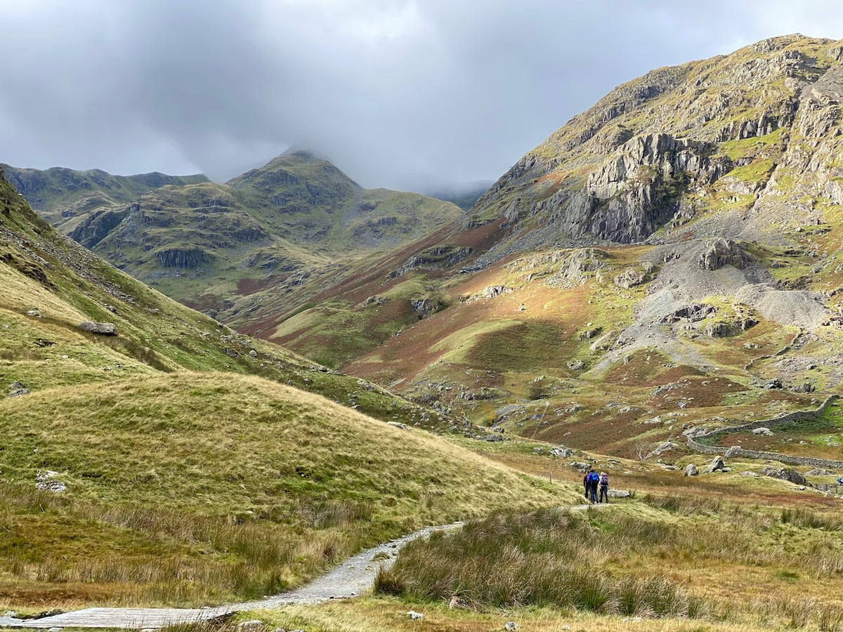
Your trail divides naturally into three parts — not by day, but by national park. Lakeland fells give way to the limestone and lead-mining country of the Dales, and the Dales fall away into the long heather crossing of the North York Moors and the sea.

From Sea to Fell
St Bees to Shap

From Sea to Fell

You start with your boots in the Irish Sea and climb almost at once into the highest, most demanding country of the whole trail.

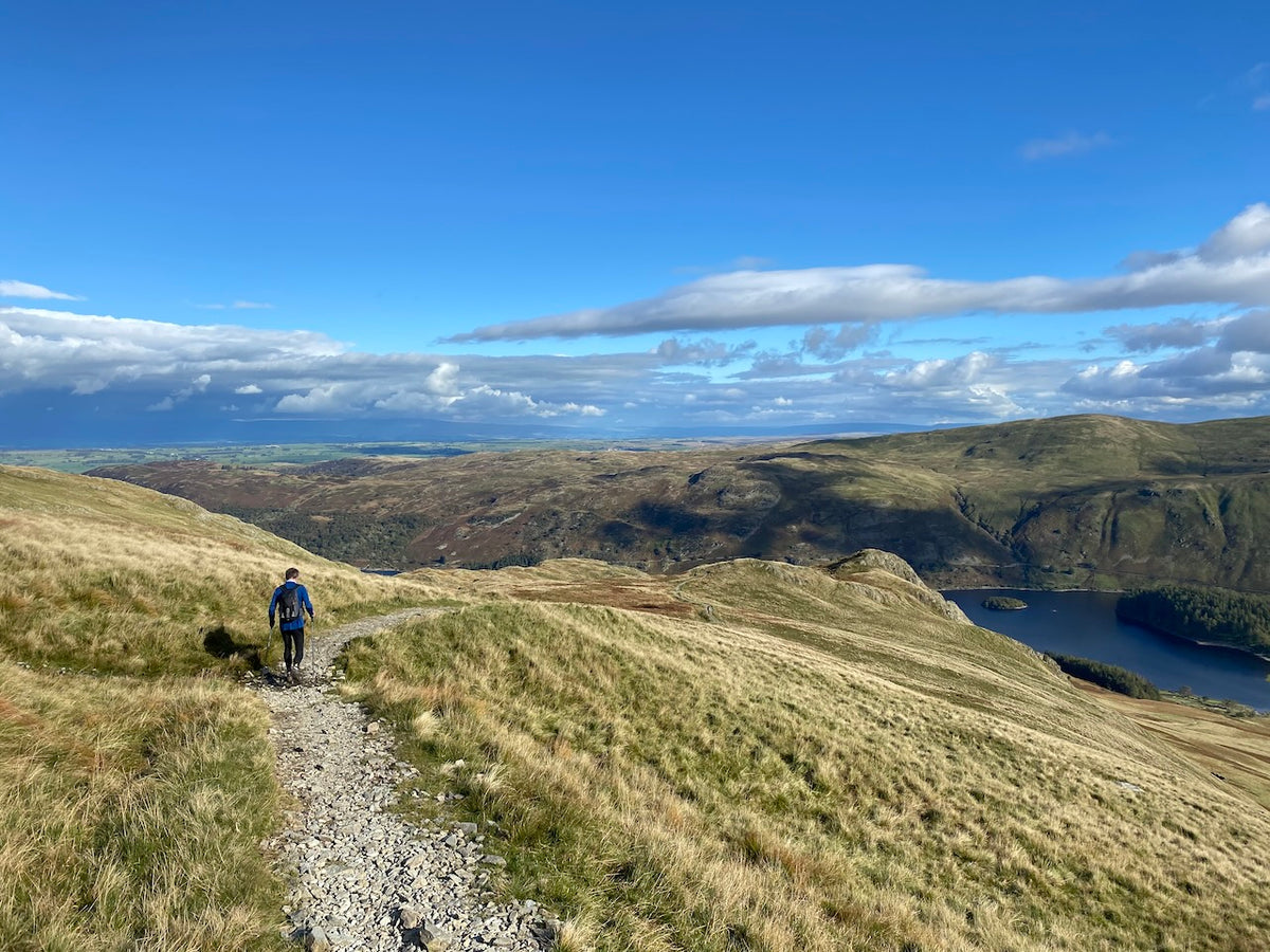
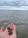
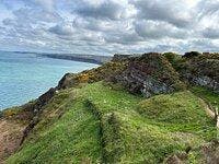
You begin with the traditional toe-dip in the Irish Sea and a pebble pocketed at St Bees, to carry the width of England. The red sandstone cliffs of St Bees Head go by before you turn inland over Dent Fell and into the Lakes proper. After that it is fell country the whole way: Ennerdale Water, the climb to Black Sail Pass, the drop into Borrowdale, then Grasmere and the pull past Grisedale Tarn. The last and highest climb is Kidsty Pike, at 780 metres the top of the entire trail, before Haweswater and the long descent to Shap.

Into Swaledale
Shap to Richmond

Into Swaledale

The fells give way to limestone, then to the wild watershed crossing that takes you from Cumbria into Yorkshire and down into Swaledale.
The high country relents. From Shap you cross limestone pavement and open fell, with Orton and its monthly farmers' market worth the stop. Past Kirkby Stephen you reach the halfway mark and the wildest crossing of the trail: Nine Standards Rigg, at 662 metres a line of tall stone cairns on the Pennine watershed, boggy and exposed in poor weather. Then you drop into Swaledale — lead-mining ruins on the high ground above Keld, haymeadows and field barns below. The dale brings you down to Richmond, the largest town on the route, a Norman keep over the cobbles.

Moor to Sea
Richmond to Robin Hood's Bay

Moor to Sea

Flat farmland for a day, then the long, open heather crossing of the North York Moors and the first sight of the North Sea.

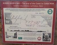
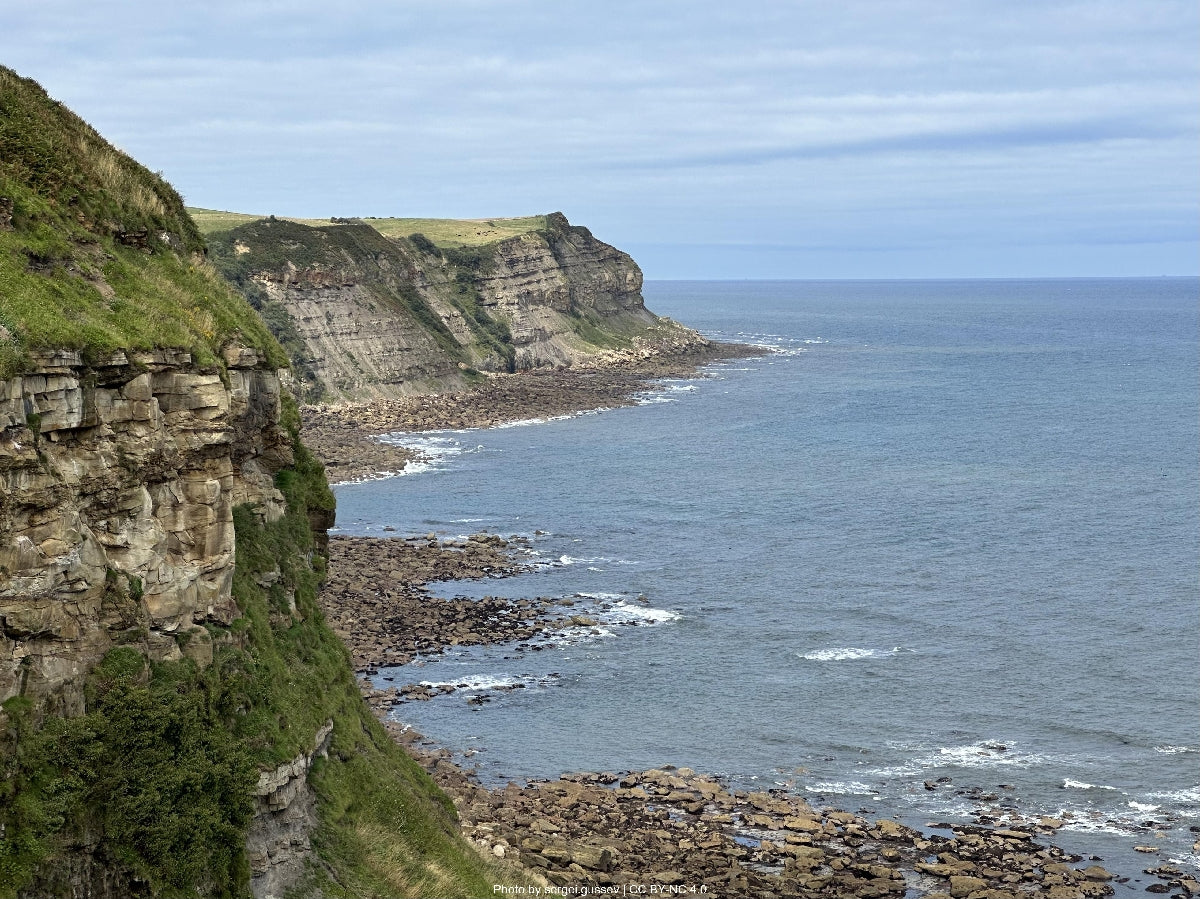
First a change of pace: the Vale of Mowbray, flat farmland and quiet lanes, with Danby Wiske the lowest point of the trail and a dual carriageway to dodge. Then the last great section. From Ingleby Cross you climb onto the Cleveland Hills and out across open moor, following an old railway bed to the Lion Inn at Blakey Ridge, a remote pub near the highest ground of the North York Moors. The heather gives way to the wooded Esk valley and the steam trains at Grosmont. A last cliff-top stretch on the Cleveland Way drops you into Robin Hood's Bay, where the pebble goes into the North Sea.

— Now Make It Yours —

Find Your Coast to Coast

Most people walk it in 13 days. Some want longer to take it all in. Others want the challenge of doing it quicker. Pick the trip that suits you — or customise yours below.

ABTOT 5690 · Financially protected Guidebook authors on every trail 72-hour confirmation or no charge Refund promise if we can't deliver
Your personalised Trail Book — trip overview, day by day itinerary and accommodation details

Included with every trip

Your personalised
Trail Book

Everything you need for every day of your trail — built around your exact itinerary. Your route, your accommodation, your packing list. Ready before you leave, works offline when you're out there.

Tonight's accommodation

Check-in time, room type, phone number and directions — all in one place

Day-by-day trail description

Route map, elevation profile and written description for each stage

Packing list and pre-trip checklist

Everything you need, nothing you don't. Tick items off as you go

Works offline

Open it once with data and it's yours — no signal needed on the trail

Included with every trip

Your route on every device you use

Your custom GPX file is built around your exact itinerary — day by day, door to door. Load it onto any device or app before you set off and navigate with confidence.

Works with

GPX route on Komoot iPhone app and Garmin watch
190 Miles. One Hour's Sleep. No Regrets.

Hear it from the trail

Kirsty Reade

Kirsty Reade ran 190 miles across England — non-stop. Here's what she noticed along the way.

“"I found myself thinking, this is a really nice place to stop — this looks like a nice pub, a nice hotel. You do get a feel for that, mostly through looking longingly at places where you wish you could linger."”
Read Kirsty’s story →
Craig, Trail Specialist at Big Trail Adventures
Talk to a Specialist

Knows the trail. Plans yours.

Craig Trail Specialist
The Coast to Coast is the one people come to when they've done a shorter trail and want the big one. I'd say give it the full fortnight if you can. The moors at the end are quieter than the Lakes, and a lot of people end up liking them more.

Craig has spent over ten years in adventure travel, most of it talking walkers through trails like this one. He's planned the Coast to Coast for more people than he can count, knows where the moorland stages turn boggy and which villages run short of beds, and he's usually got a recent report from someone who walked it the week before.

Ask Craig about the Coast to Coast

If you want to talk through your timing, your fitness, your pace, or anything the planner can't answer — call. Most of our customers do, and Craig's the one who'll answer.

The Practical Side

Before You Book

The things walkers ask us most often — answered plainly, so you don't have to ring to find out.

How fit do I need to be?

This is one of the more demanding trails we offer, so a good level of hill fitness matters. At Hiker pace you're walking around 24 km a day for roughly two weeks, with real ascent in the Lake District and some long, exposed moorland days towards the end. If that sounds like a lot, the Explorer pace spreads the same route over sixteen days with shorter, gentler stages.

When should I walk it?

June to September is the best window, with the longest days and the firmest ground underfoot. May and October still work, though you'll want to be ready for shorter days and wetter moorland. We'd steer you away from November to April: the high Lakeland passes and the North York Moors are exposed, and the bogs around Nine Standards Rigg are at their worst in winter.

Do you include luggage transfer?

Yes. Your bag is moved between accommodations on every walking day, up to 20 kg per bag, so you walk with just a daypack. The thing to know on this route is that one or two of the remote overnight stops, the Lion Inn at Blakey Ridge in particular, sit a long way from anywhere, so the odd transfer takes a little longer. It still gets there before you do.

What kind of accommodation do you book?

Family-run B&Bs, guesthouses and traditional inns, with breakfast and somewhere to dry your kit. We avoid chains. On a route this remote you can't always have an en-suite or a bed in the village you'd ideally stop in, especially on the high moorland sections, so once or twice we'll book the best option nearby and arrange the short transfer to and from the trail.

Can I walk it solo?

Yes, and plenty of people do. The Coast to Coast is one of the busiest long-distance routes in England, so you'll rarely have a whole day entirely to yourself, and it became an official National Trail in recent years, which has improved the waymarking. We book single rooms where they exist and can talk you through the navigation on the few exposed moorland stretches where it matters.

What's the realistic total cost?

Our Classic package starts at £1,729 per person for the thirteen-day Hiker pace, based on two people sharing. That covers your accommodation, breakfasts, luggage transfer and a planned door-to-door route. On top of that, budget for lunches, evening meals and the odd drink. As a rough figure, most walkers spend £25 to £40 a day on the trail itself.

Still not sure? Ring us on 0131 560 2740 — Craig usually answers.

Still Thinking?

Speak to Craig

If you've scrolled this far, we need to help you get onto this trail. The bit the planner can't help with — "is the pace right for me?", "is August really that busy?", "can we add a rest day in Keswick?" — that's a two-minute phone call. Most people who book the Coast to Coast ring first.