Milngavie to Rowardennan
Across the Boundary
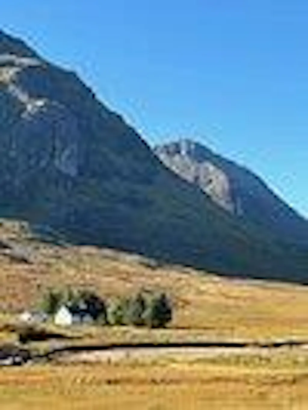
Suburban park gives way to drove road and oak wood, and one hill puts you over the geological line that splits Scotland.

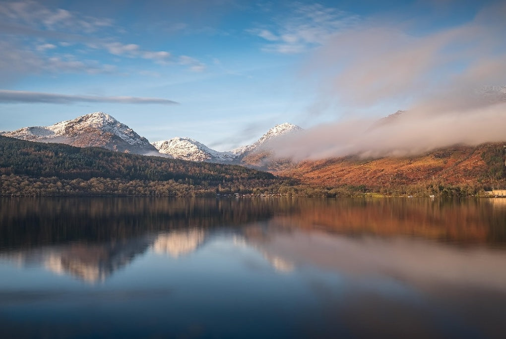
You'll walk 154 kilometres through the southern Highlands, along loch shore, drove road and old military road rather than open hill — the Highland Boundary Fault crossed by mid-morning of day two, Rannoch Moor crossed in a single stage. A route that earns its reputation by walking you into the country it belongs to.
Your trail divides naturally into three parts — not by day, but by altitude. You leave Glasgow's edge and cross the Highland Boundary onto Loch Lomond's shores; you walk up the loch and out into Highland glens; and from Tyndrum the country lifts under you all the way to Ben Nevis.
Suburban park gives way to drove road and oak wood, and one hill puts you over the geological line that splits Scotland.
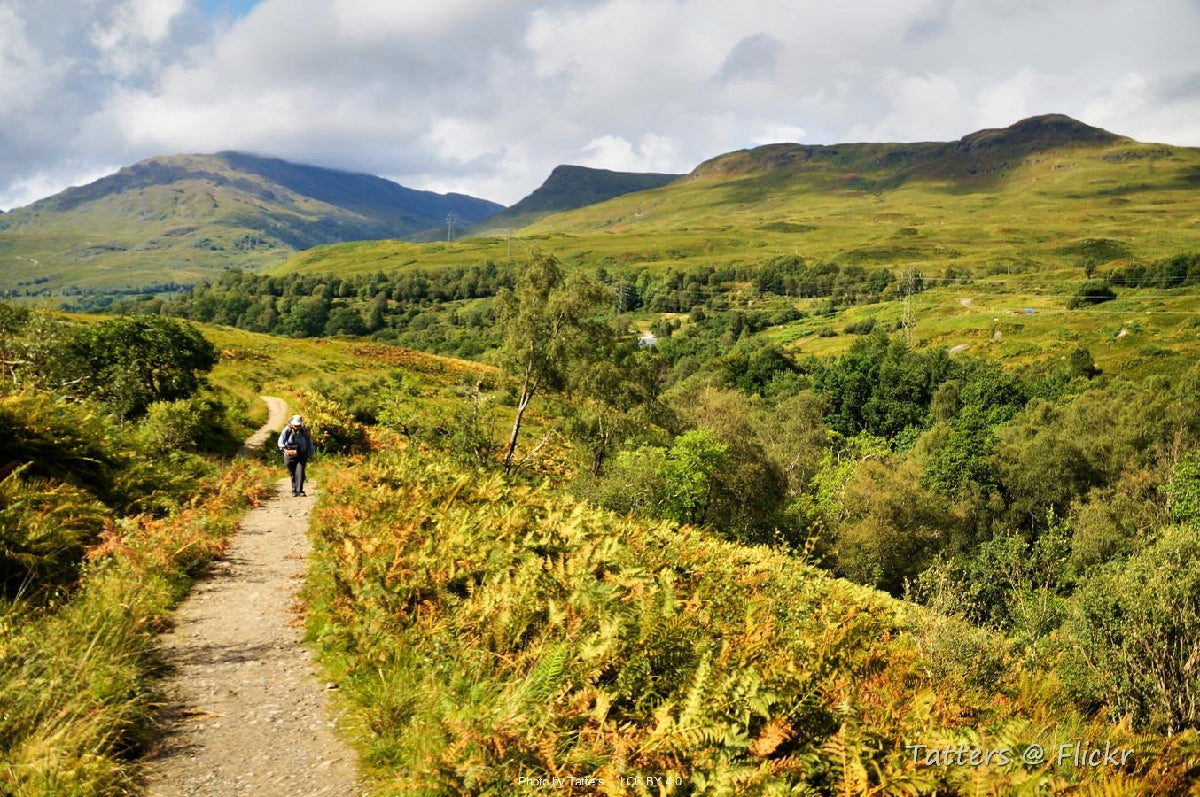
The eastern shore at its hardest, then up the glen with the river beside you and the Highlands fully open.
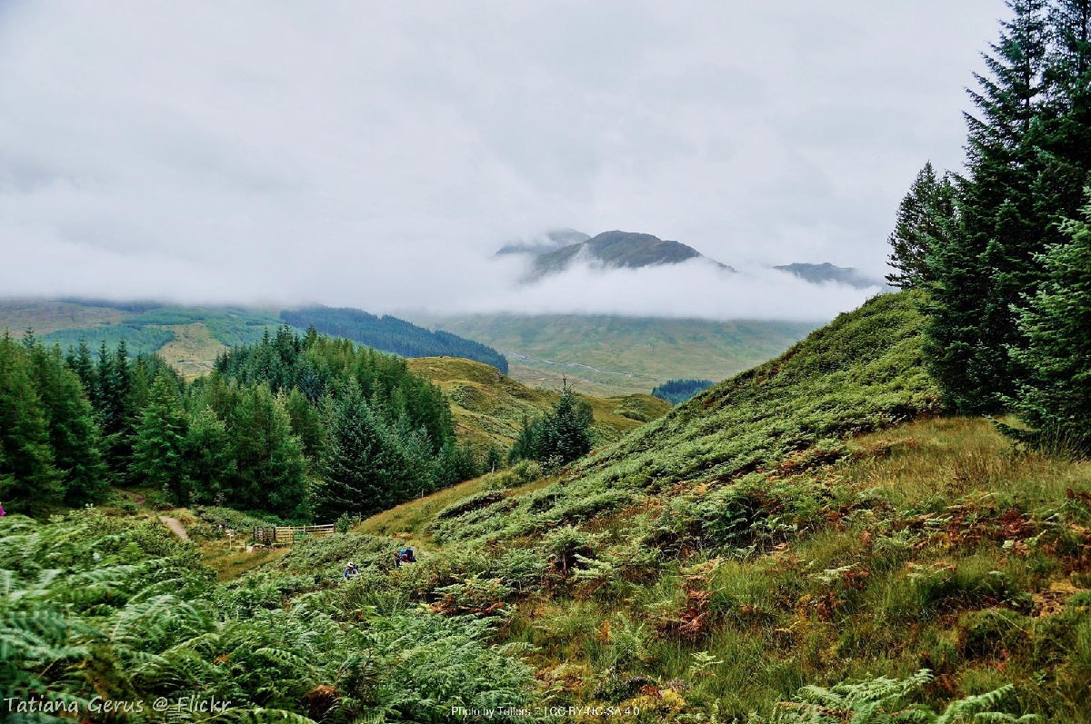
Drove road across Rannoch Moor, the zig-zag climb to the trail's highest point, and the long Mamores walk down to Fort William.
Most people walk it in 7 days. Some want longer to take it all in. Others want the challenge of doing it quicker. Pick the trip that suits you — or customise yours below.

Included with every trip
Everything you need for every day of your trail — built around your exact itinerary. Your route, your accommodation, your packing list. Ready before you leave, works offline when you're out there.
Tonight's accommodation
Check-in time, room type, phone number and directions — all in one place
Day-by-day trail description
Route map, elevation profile and written description for each stage
Packing list and pre-trip checklist
Everything you need, nothing you don't. Tick items off as you go
Works offline
Open it once with data and it's yours — no signal needed on the trail
Included with every trip
Your custom GPX file is built around your exact itinerary — day by day, door to door. Load it onto any device or app before you set off and navigate with confidence.
Works with


Hear it from the trail
Jennifer Stevens
Jennifer Stevens had never walked a long-distance trail when she shouldered an 18-kilogram pack and set off alone into the Scottish Highlands. What she found on the West Highland Way was something no video had prepared her for.
“If you're able to, add an extra day. Allow room for the unexpected.”Read Jennifer’s story →

The West Highland Way is the trail I send people to when they want a proper Highland walk without it being a slog. The loch shore section is harder than most expect, but then you're across Rannoch Moor and over the Devil's Staircase before you've quite settled into it. Pace it slow enough to look up.
Craig has walked the West Highland Way more than once over the past decade. He knows where Loch Lomond's eastern shore gets properly slow, which Bridge of Orchy night is worth holding out for, and how the Devil's Staircase descent compares to the climb. Ten years in adventure travel; this one he talks through from his own boots.
If you want to talk through your timing, your fitness, your pace, or anything the planner can't answer — call. Most of our customers do, and Craig's the one who'll answer.
The things walkers ask us most often — answered plainly, so you don't have to ring to find out.
Still not sure? Ring us on 0131 560 2740 — Craig usually answers.
If you've scrolled this far, we need to help you get onto this trail. The bit the planner can't help with — "is the pace right for me?", "is August really that busy?", "can we add a rest day in Keswick?" — that's a two-minute phone call. Most people who book the West Highland Way ring first.