The Toughest Trail in America?
Share
What is the Sierra High Route?
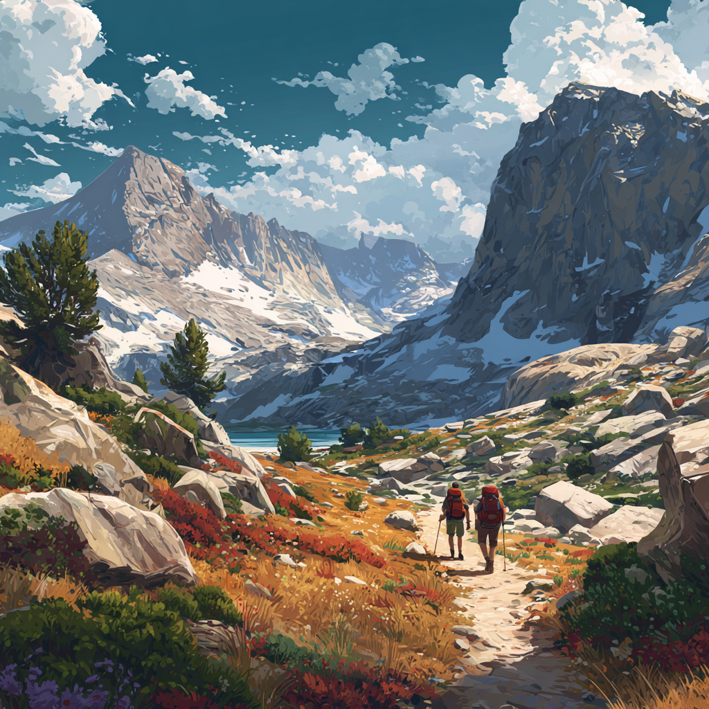
The Sierra High Route (SHR) is a ~195–200 mile (315 km) line through California’s Sierra Nevada, dreamed up as a high, wilder counterpoint to the John Muir Trail. Instead of dropping into valleys, it criss-crosses the crest, linking passes, bowls, and granite benches. More than half of it is off-trail: no signs, often no cairns, plenty of talus and slab.
Simon first tasted the Sierra in the late 80s on the JMT. A throwaway guidebook line — “cross Potluck Pass to the next basin” — sent him on a sweaty, hilarious scramble with a full pack. He scrawled “Good!” in the margin (his code for “epic; would inflict on friends”). Decades later, looking to avoid the JMT crowds, he went back for the whole high, trackless line.
He and his friend Roger took 23 days, carrying seven-day food loads between resupplies, and camping wild almost every night.
Off-trail… what does that actually mean?
On the SHR, “off-trail” means you are route-finding — reading the land, not a tread. The guidebook may say “gain the pass and descend talus into the next basin”; the how is on you. Approaches to passes often involve class 2–3 scrambling, weaving, backtracking, and choosing a feasible line with a full rucksack.
“You top out after an hour of micro-decisions, look down, and there’s a turquoise lake with a pocket meadow. That’s camp. One evening at Iceberg Lake, the water was half frozen and dotted with actual icebergs. We hadn’t seen anyone for days.”
The shape of a day
-
Slow miles, long hours: 8–12 hrs for 8–12 miles isn’t unusual on talus.
-
Water everywhere: lakes and streams are constant; carry a filter (Giardia is common) rather than litres of weight.
-
Weather: Simon’s year was mostly clear; one late storm had them hunkered down, then tip-toeing wet slabs over the next pass.
Sleeping & carrying
They camped wild almost every night — on clean granite, in open forest, by alpine lakes. In the US you’ll often need a permit (a faff, but it spreads starts and keeps places quiet).
Pack weight topped out just after resupply: ~17 kg (including ~7 days of food and a mandatory bear-resistant canister). Those clear polycarbonate cans are bulky (roughly 40 cm tall, wide enough a bear can’t clamp its jaws around), heavy (~1.5 kg), and go 50+ metres from the tent at night.
Food was mostly modern dehydrated meals (far better than the old horrors), plus a production-line of homemade flapjacks for the daytime. High-calorie and dense is the game — it all has to fit in the can.
“My first act of packing is still cutting the toothbrush in half. It only saves grams, but it flips the brain into ‘everything must be lighter’ mode.”
They carried a satellite beacon with an SOS button — comforting when a twisted ankle could be days from a road.
People (and almost no people)
For stretches they saw no one. Crossings with the Pacific Crest Trail brought little bursts of life — trail-hardened PCTers swapping notes — and late in the trip, three featherweight hikers overtook them, aiming to do the SHR in nine days (and scouting a ski traverse: when talus is snow, an hour can cover what once took a day).
Hardest moments?
No collapse-on-the-pack day, largely thanks to pace (23 days, not a sufferfest), weather, and two pairs of eyes for route-finding. The trickiest parts were logistics (remote resupplies) and the variable conditions you only really know close to go-time.
If you’re considering the Sierra High Route
Who it’s for
-
You love navigation, scrambling with a pack, and genuine remoteness.
-
You’re happy with permits, bear cans, and self-reliance.
-
You can keep mileage modest and days long without getting rattled.
Who should warm up first
-
If you’ve never backpacked off-trail, try the John Muir Trail first. It’s stunning, shares the Sierra “range of light,” and the permit system keeps it calmer than the internet suggests. You’ll learn altitude, weather patterns, daily rhythm — without the sketchy passes.
Timing & conditions
-
The Sierra changes wildly by year. Big-snow winters push consolidated snow well into summer (icy mornings on north slopes); late summers can bring smoke from forest fires.
-
Research this year’s reality just before you go. Microspikes were enough for Simon most days, but he’d have liked stouter crampons for early-morning hard snow.
Resupply & rules
-
Plan two resupplies for a 23-day trip; seven days of food is about the bear-can limit.
-
Expect permit hoops — worth it for the solitude at camp.
Packing nudge list
-
Light shelter (Simon loved a roomier 3-person tent for two — a deliberate “luxury”).
-
Solid filter, real first aid, sun protection, and microspikes (or crampons in high-snow years).
-
Navigation stack: map + compass + offline topo; guidebook notes; GPS only as a back-up, not an excuse to stop reading the land.
-
Communication: a PLB/inReach-type device.
One spot to teleport to
Thousand Island Lake. The name undersells it. Long, glittering, studded with islets, and begging for a (bracing) swim you probably won’t take because the light is golden and the stove is sputtering and there’s talus tomorrow.
Is it “the hardest trail in America”?
Not by length (hello PCT and AT), and not by pure brutality either — Simon puts the Hayduke Trail ahead for overall difficulty. But as a compact, high, off-trail traverse with lots of hands-on terrain and genuine wilderness, the SHR is the real deal.
Parting advice from Simon
-
Go with a partner you can navigate and problem-solve with.
-
Accept slow. Ten miles can be a full, perfect day.
-
Do year-specific homework on snow and fire, then choose traction accordingly.
-
Enjoy the choosing — every pass is a puzzle, every basin a surprise.
Huge thanks to Simon Oxley for taking us along the crest. He’s also walked the Cape Wrath Trail (often billed as the UK’s hardest), and his eye for wild, high lines is infectious.