How fit do I need to be?+
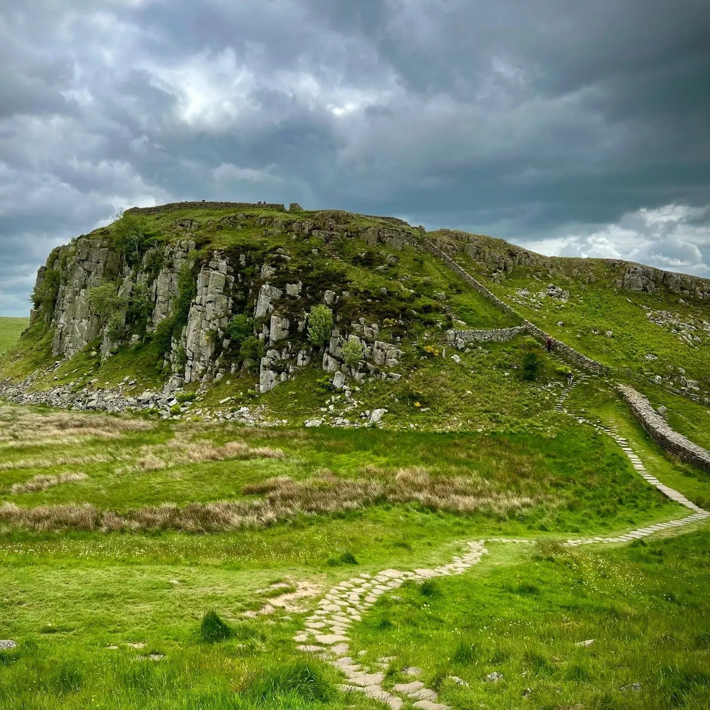
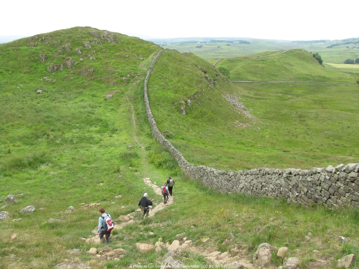
You should be comfortable walking around 27 km / 17 miles a day for five consecutive days, with some short steep sections in the middle. The Whin Sill central stages have several short ascents in succession — not high (the trail's highest point is 345 metres) but they come one after another. If you'd rather walk shorter days, the Explorer pace gives you six days instead of five and eases the harder middle. Most people can build the fitness with a few longer training walks in the months before.
When should I walk it?+
May to September is the settled stretch. The trail is mostly under 350 metres, so high-summer heat and storms don't shut it down — but the central crags are exposed and any wet day on the Whin Sill is rougher than the same weather on a low stage. April and October work if you're flexible with weather. Winter is technically open but the days are short and the central section becomes hard work in cold rain. June and September are the sweet spot — long days, settled weather, fewer people than July and August.
Do you include luggage transfer?+
Yes — your luggage is moved between accommodation each day, with a 20 kg allowance per bag. You walk with a daypack containing whatever you need until evening. The whole route has reliable transfer service except occasional remote sections where the carrier swaps providers — we handle the booking and timing. Most walkers carry around 5–7 kg in their daypack: water, lunch, layers, waterproofs, and a small first-aid kit.
What kind of accommodation do you book?+
Family-run B&Bs, traditional inns, and the occasional small guesthouse — never chains. All en-suite, with breakfast included and drying space for wet kit. On the central Whin Sill section the village of Once Brewed is the obvious overnight, with the Twice Brewed Inn and the youth hostel. Gilsland and Walton have fewer options, so we book those well ahead — they fill up in summer and you don't want to be three miles off-route looking for a bed.
How do I get to the start and finish?+
Wallsend at the start is a 10-minute Metro ride from Newcastle Central Station — Newcastle is on the East Coast Mainline, around three hours from London King's Cross. The finish at Bowness-on-Solway is rural: a seasonal 93A bus runs to Carlisle (about an hour, infrequent — check the timetable before you walk), and Carlisle is on the West Coast Mainline. If you're flying, Newcastle International Airport is the most convenient. Travel back from Bowness needs a little planning — we'll talk you through it when we book.
What's the realistic total cost?+
The Hiker package starts at £609 per person for the five-day route — that covers all accommodation with breakfast, daily luggage transfer, planning, route notes, and our support line while you walk. On top, expect £15–20 a day for lunches, plus dinner and drinks (£25–35 for a pub meal in this part of the country). Optional fort entries — Chesters, Housesteads, Vindolanda — are around £10–15 each. Most walkers spend roughly £200–300 on top of the package across the trip.
Is this a self-guided Hadrian's Wall Path walking holiday?+
Yes. Every Hadrian's Wall Path trip we run is self-guided: you walk the route on your own, at your own pace, with no group and no guide. We do the planning and the logistics — an itinerary of 3 – 6 days built around the pace you choose, accommodation booked in your name along the 135 km route, your main bag moved between stays each day, GPX files and route notes for every stage, and a real person on the end of the phone while you're out there. You choose your own start date; there are no fixed departures.
What's the difference between a self-guided and a guided Hadrian's Wall Path trip?+
On a guided trip you walk with a leader and a group to a fixed schedule. Self-guided means the day is yours: start when you like, stop for lunch where you like, walk fast or slowly, take a rest day. The route is waymarked and you navigate with the GPX and notes we provide. Everything that makes a trip complicated — accommodation, luggage transfer, the shape of each day — is arranged for you before you arrive.
Can I walk the Hadrian's Wall Path without a guide?+
Yes — the Hadrian's Wall Path is a signed long-distance route and thousands of people walk it independently every year. What most walkers want help with isn't navigation, it's the 135 km of accommodation, the bag transfers, and getting the daily distances right. That's exactly what we take off your hands, while you still walk it under your own steam.
Who books the accommodation and moves my luggage?+
We do, both. We book walker-friendly B&Bs, inns and small hotels in your name at each overnight stop, with breakfast, and arrange door-to-door luggage transfer between them so you walk with a daypack. You'll get a full itinerary with every address, check-in detail and transfer time before you travel.
How many days do I need for a self-guided Hadrian's Wall Path?+
Most people take 3 – 6 days for the 135 km. Our planner lets you set your own pace and number of nights, so you can stretch the trip out with shorter days or compress it if you're used to back-to-back big days — the itinerary, accommodation stops and price all update as you change it.