Included with every Big Trail Adventure

The Trail Companion.
Your whole trail, in your pocket.

Every trip we plan comes with its own Trail Companion: the day-by-day route written out properly, GPX files for your watch, live navigation with time estimates you can trust, and a share link so the people at home can follow you along the coast.

08:12

Day 4 of 7

Anstruther to Elie

21.4 km·310 m up·5h 40m

Out of the harbour on the old fishermen's path, past the lifeboat station and into the East Neuk proper. The cliffs soften after Pittenweem and the way runs level along the shore for an hour.

At St Monans keep the sea on your left through the salt pans — the ruined windmill is the marker. The last stretch into Elie crosses sand at low water; the high-tide alternative is signed at the caravan park.

Tonight

The Ship Inn, Elie — bags delivered by 16:00.

DaysMapFilesShare
13:36

Navigating · Day 4

Keep the sea on your left

Remaining today

3h 12m

Arrive

16:48

11.2 km walked · 10.2 km to Elie · based on your pace today

DaysMapFilesShare

What it does

Four things, done properly.

08:12

Day 4 of 7

Anstruther to Elie

21.4 km·310 m up·5h 40m

Out of the harbour on the old fishermen's path, past the lifeboat station and into the East Neuk proper. The cliffs soften after Pittenweem and the way runs level along the shore for an hour.

At St Monans keep the sea on your left through the salt pans — the ruined windmill is the marker. The last stretch into Elie crosses sand at low water; the high-tide alternative is signed at the caravan park.

Tonight

The Ship Inn, Elie — bags delivered by 16:00.

DaysMapFilesShare
Day 4 · Anstruther to Elie

Written for the day you're walking

A proper description of every day

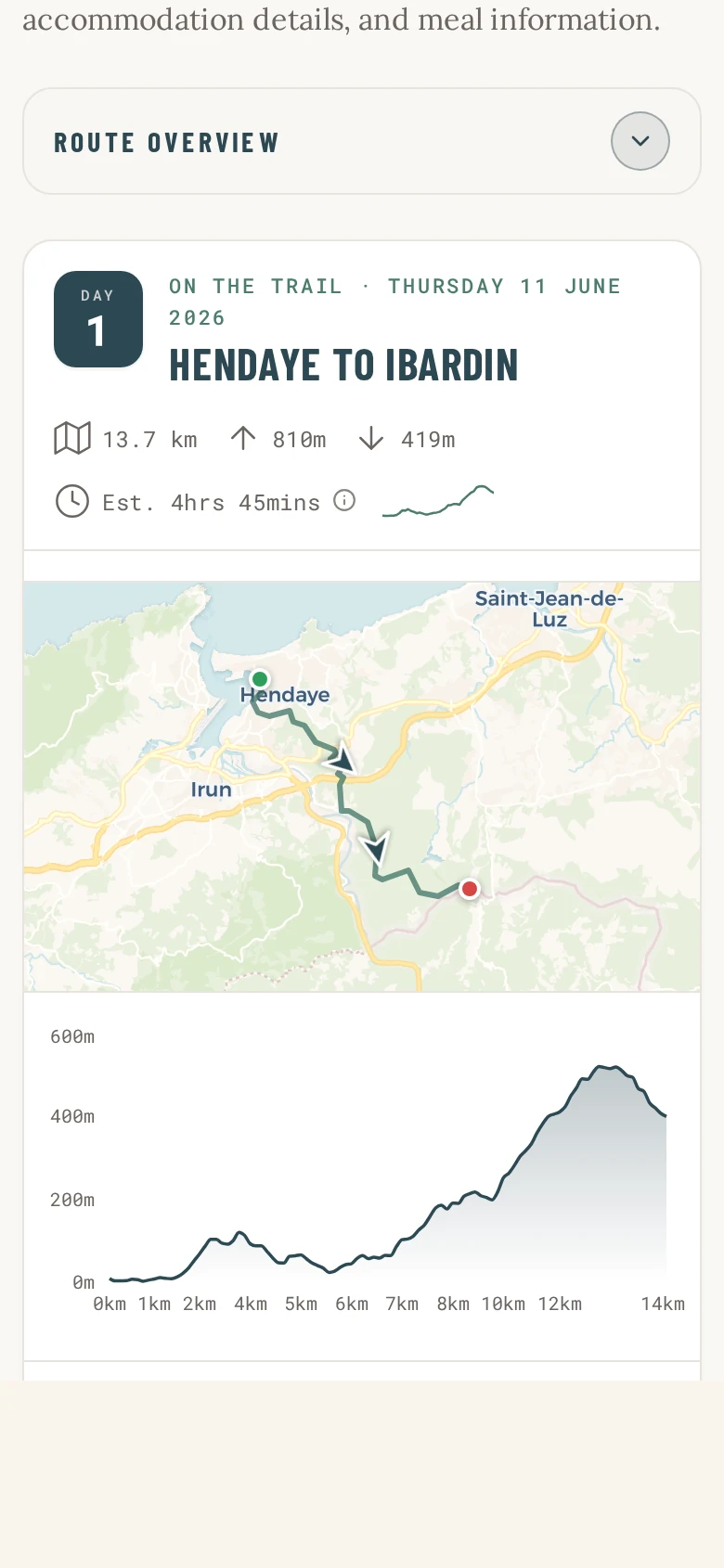
Not a bare list of distances. Each day is written by someone who has walked the route — where the path leaves the harbour, which turn people miss, where the tide matters, what's worth stopping for. It's the guidebook page for exactly the day you're on, and nothing else.
07:55

GPX files

Every stage, ready to send

Download all stages1.4 MB
  • Day 1 · 17.8 kmKincardine – Culross
  • Day 2 · 24.1 kmCulross – Aberdour
  • Day 3 · 19.6 kmAberdour – Kirkcaldy
  • Day 4 · 21.4 kmAnstruther – Elie
  • Day 5 · 22.0 kmElie – Crail

Works with Garmin, Coros, Suunto, Apple Watch, Komoot and OS Maps.

DaysMapFilesShare
Stage files for watches and apps

Navigate with it, or with your watch

GPX for every stage, one tap away

Send the whole route to your watch before you go, or pull a single day down over breakfast. Garmin, Coros, Suunto, Apple Watch, Komoot, OS Maps — whatever you already navigate with. Nothing to convert, nothing to email yourself.

13:36

Navigating · Day 4

Keep the sea on your left

Remaining today

3h 12m

Arrive

16:48

11.2 km walked · 10.2 km to Elie · based on your pace today

DaysMapFilesShare
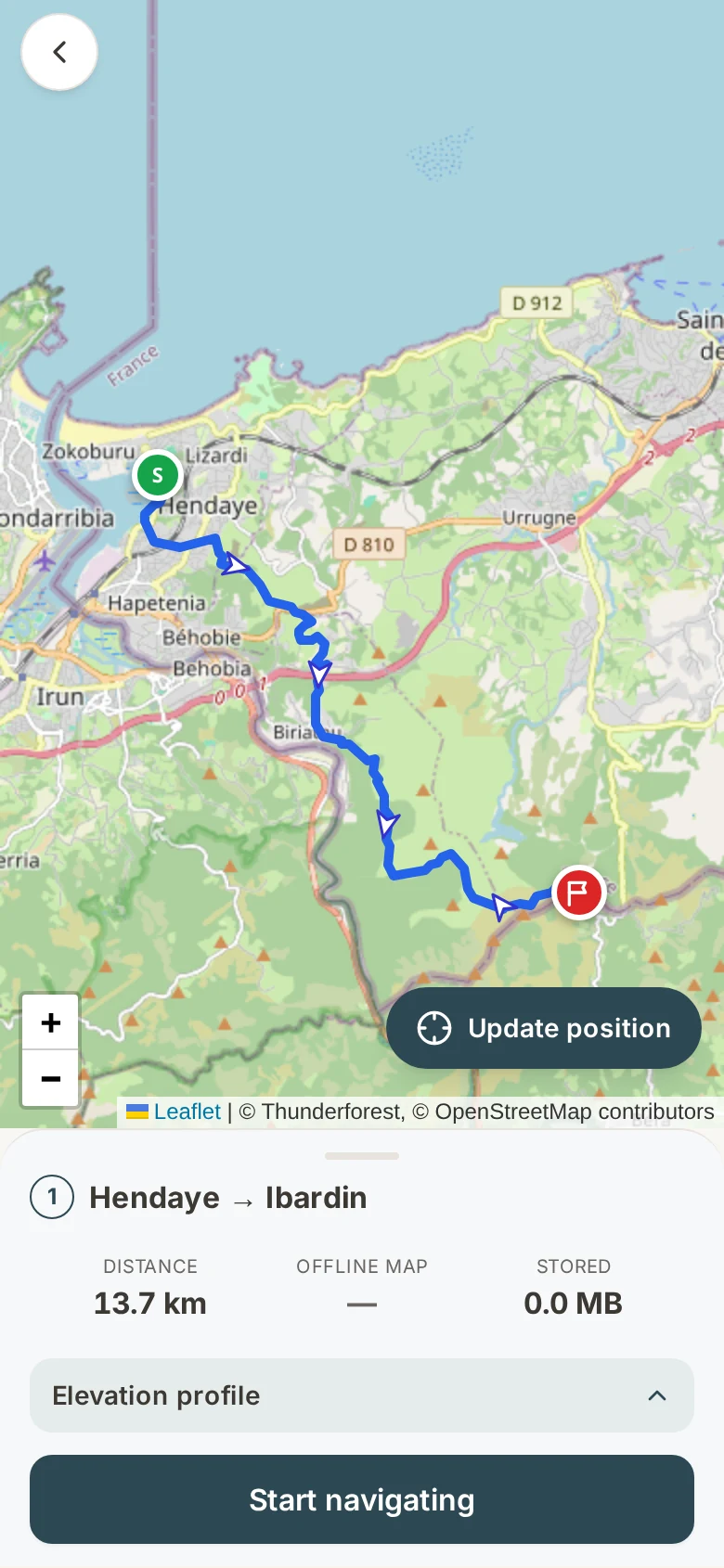
3h 12m left · arrive 16:48

Live navigation

Honest time estimates, all day long

Follow the route in the Companion itself and it keeps a running answer to the only question that matters at 2pm: how much longer? The estimate uses the pace you've actually walked today — including the climbs still to come — so you know whether the tearoom is on or off.

14:32

Shared with 4 people

Rob is on the Fife Coastal Path

bigtrail.link/rob-fifeCopy
  • 14:32latest updateSt Monans salt pans
  • 12:05Pittenweem harbour
  • 09:18Anstruther — set off
DaysMapFilesShare
A private link, timestamped

Share your walk

One link, and they can stop worrying

Send a private link to whoever you like. They see your position on the map and the time of your last update — no app to install, no account to make. Grandparents can follow along; a partner at home can see you've reached the inn.

Walking alone?

When there's no signal, the tracker keeps talking.

Sharing your position from the Trail Companion needs a phone signal — and on the best trails there often isn't one. So for solo walkers we lend a pure GPS tracker that works off satellites instead. It sits in the top of your pack and posts your position automatically, whether or not your phone has a bar.

15:00
GPS tracker · liveNo phone signal

Automatic update every 30 minutes

Last fix 15:00 — moving north-east

  • 15:00 Coastal path, near Shell Bay
  • 14:30 St Monans
  • 14:00 Pittenweem
Satellite tracking · no signal needed

It comes with the trip. Every trip.

There's no extra charge and nothing to set up. When your itinerary is confirmed, your Trail Companion is built for your dates, your pace and your stays.