Big Trail Adventures
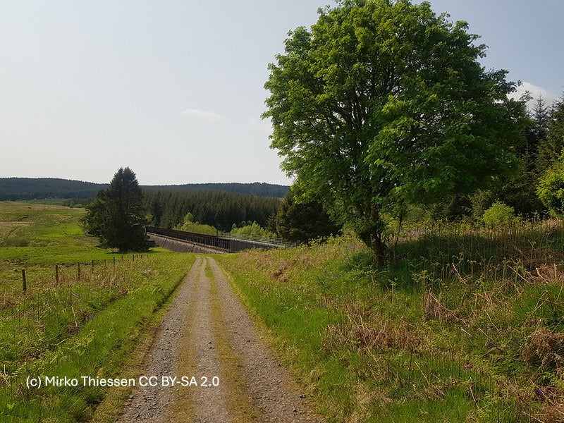
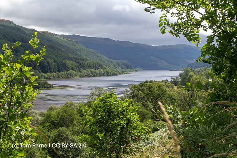
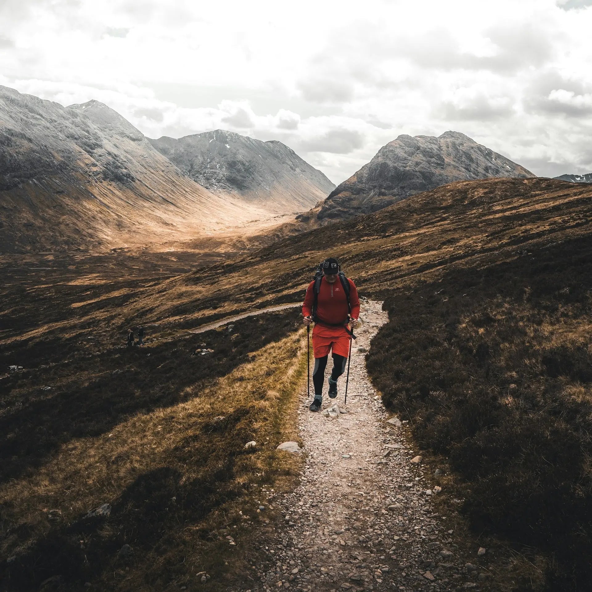
Landscape on the Rob Roy Way

Self-guided · Perthshire

Your walk from
Drymen to
Pitlochry

You'll walk 128 kilometres through the Trossachs and Perthshire, along old railway trackbeds, lochside roads, and the floor of one high glen rather than over the summits, with the Highland Boundary Fault crossed early and Loch Tay running for a full afternoon on your shoulder. One of Scotland's quieter long-distance routes, and all the more rewarding for it.

Distance
128 km
Ascent
2,500 m
Stages
3 – 7 days
Grade
Easy–Moderate

Trail Essentials

Start
Drymen
Stirlingshire
End
Pitlochry
Perthshire
Distance
128 km
80 miles
Total Ascent
2,500 m
8,202 ft
Difficulty
Easy–Moderate
Hilliness
Rolling
Time to Complete
Explorer
7 days
~18 km/day
Hiker
6 days
~21 km/day
Fastpacker
5 days
~26 km/day
Trail Runner
3 days
~43 km/day
When to Walk
Best Good Avoid
JAN
FEB
MAR
APR
MAY
JUN
JUL
AUG
SEP
OCT
NOV
DEC

The Rob Roy Way is outlaw country — named for the man himself, buried at Balquhidder, and it runs through the glens and hillsides he knew rather than over them. It links Drymen on the edge of Loch Lomond to Pitlochry in highland Perthshire, crossing the Highland Boundary Fault early and giving you Loch Tay for a full afternoon on your shoulder.

It's one of Scotland's quieter long-distance routes, and all the more rewarding for it — old railway trackbeds, forest roads, and lochside paths for most of its length, well-graded ground without the technical demands of higher routes like the West Highland Way. Most walkers cover it in six days; it suits anyone comfortable with 22 kilometres a day and a couple of long afternoons, and anyone who'd rather walk for days without seeing another hiker.

How the trail unfolds.

Your trail divides naturally into three parts — not by day, but by country. Lowland farmland gives way to high glens and exposed moorland, and the high country falls into wooded gorges and a riverside walk to Pitlochry.

Across the Highland Line

Drymen to Strathyre

Across the Highland Line

Lowland farmland gives way to the Trossachs, and the country starts to feel more like the Highlands than the south.

You leave Drymen and head north along the Old Gartmore Road, past open farmland into Loch Ard Forest. Beneath your feet, the buried Loch Katrine aqueduct — inaugurated by Queen Victoria in 1859 — still carries Glasgow's water. Ben Lomond sharpens on the skyline.

Past Aberfoyle and into the Menteith Hills, you cross the Highland Boundary Fault — the geological line where Lowlands become Highlands — and the country shifts to match. Callander earns a stop. From there you follow the trackbed of the old Callander and Oban Railway down past Loch Lubnaig to Strathyre.

The High Glens

Strathyre to Acharn

The High Glens

Glen Ogle, an empty moorland crossing, and the long lochside road into Acharn — the highest, wildest country on the trail.

You climb out of Strathyre on the old Callander and Oban trackbed, running high above Lochearnhead before turning into Glen Ogle — narrow and steep-sided, the glen Queen Victoria called Scotland's Khyber Pass. The 1864 Glen Ogle Viaduct crosses the floor below; the Tarmachan Ridge holds the skyline. At Killin, the Falls of Dochart thunder through the village.

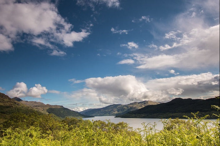
The next morning you climb to the trail's highest point at 565m — open moorland, no shelter, views that earn the work. You drop to Loch Tay and follow its quiet southern shore east to Acharn.

The Birks and the Tay

Acharn to Pitlochry

The Birks and the Tay

Wooded gorges, falls that earned their poets, and a riverside walk into Pitlochry.

From Acharn you climb a wooded gorge to the Falls of Acharn and through the Hermit's Cave, an 18th-century folly built by the Earl of Breadalbane. The hillside track above is the Queen's Drive, Schiehallion dominant to the north. You drop through the Birks of Aberfeldy — the wooded gorge where Burns wrote his celebrated poem in 1787 — and into Aberfeldy itself.

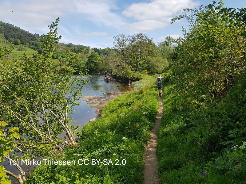
East of Aberfeldy you pick up the trackbed of the dismantled Aberfeldy railway and walk a riverside path along the Tay, past Grandtully's canoe rapids and through Strathtay. A last climb over open moorland past the Carra Beag stone circle, a suspension bridge across the Tummel, and you're into Pitlochry.

Build your trip

Customise your Rob Roy Way.

Pick your pace, party size and dates. The itinerary, distances, nightly stops and the price all update live — no commitment until you're happy.

  • Days sized to your walking speed
  • Each night ends at a stop with accommodation
  • Pricing reflects party size and seasonality
  • Save and share the itinerary with your group
Hiker · 4.0 km/h
2 walkers
Days
6
Distance
128 km
Walking
45 hrs

Your day-by-day itinerary updates live in the Your itinerary section below.

Trip total
£1,778
£889 per person · 6 nights · party of 2
See my trip
Your live itinerary

Build your itinerary above.

This is the itinerary you're building. Change the pace, party size or start date in the planner above and every stage, distance and date updates here.

Where you'll stay

Quiet village inns, all the way through.

We book family-run guesthouses and village inns along the route, including the Ardeonaig Hotel on the remote south shore of Loch Tay, where there's often no other choice for miles.

  • Traditional village inns with a pub close by
  • Hearty breakfasts before the longer glen days
  • Booked early where villages have only a handful of beds
  • A relaxed finish in Pitlochry with plenty to do

Every trip is planned around your dates and party, so we can't promise you a specific inn — but we can promise the kind of welcome that makes a walking holiday feel like a proper holiday.

What's included?

Self-guided, but properly supported. You turn up, you walk, you eat well, you sleep well. We handle the logistics.

  • A classic route for Spring and Summer

  • Comfortable accommodation

  • Local transport guidance

  • Clear day-by-day plan + GPX

Not included

  • Travel to Drymen and from Pitlochry
  • Lunches and evening meals (we'll recommend the best places)
  • Travel insurance

Self-guided, fully supported

A self-guided Rob Roy Way, explained.

Self-guided means the walking is yours and the logistics are ours. You set off on the Rob Roy Way when you want, walk at whatever pace suits you, and stop where you like — there is no group to keep up with and no leader setting the schedule. Everything that makes an independent long-distance walk hard work to organise is handled before you arrive.

There are no fixed departure dates. Choose your own start day, tell us how many nights you want, and the planner rebuilds the 128 km route around it.

You walk
128 km from Drymen to Pitlochry, Perthshire — alone, as a pair, or with your own group. No guide, no strangers.
We plan
A 3 – 7 day itinerary built around the pace you pick, with sensible daily distances and the ascent spread properly across the route.
We book
Walker-friendly B&Bs, inns and small hotels along the trail, reserved in your name with breakfast included.
We move your bag
Door-to-door luggage transfer between every stay, so you walk with a daypack.
You navigate
GPX files for every stage plus written route notes — the trail is waymarked, and we flag the few places people go wrong.
We stay reachable
One number for the whole trip, answered by someone who has walked the route.

Included with your trip

Your Rob Roy Way, in your pocket.

Every trip comes with its own Trail Companion, built for your dates and your pace. It is the part people write to us about afterwards.

Every day, written out properly
A real description of each stage of the Rob Roy Way — where the path goes, the turns people miss, what's worth stopping for.
GPX for your watch
Send the whole route, or one day at a time, to Garmin, Coros, Suunto, Apple Watch, Komoot or OS Maps.
Time estimates you can trust
Navigate in the Companion and it tells you how long the rest of the day will take, based on the pace you've actually walked.
A private link to share
Family and friends see where you are and when you last updated — no app, no account.
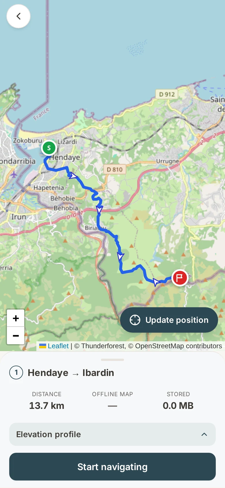
08:12
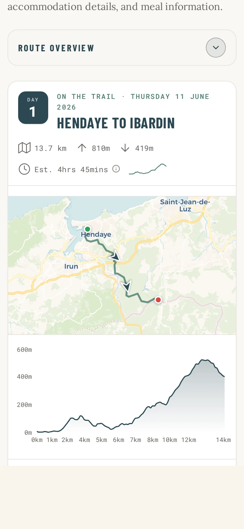
A day in the Trail Companion: Hendaye to Ibardin with distance, ascent, estimated time, route map and elevation profile
13:36
Live navigation in the Trail Companion, showing the route on the map with distance remaining and the elevation still to climb
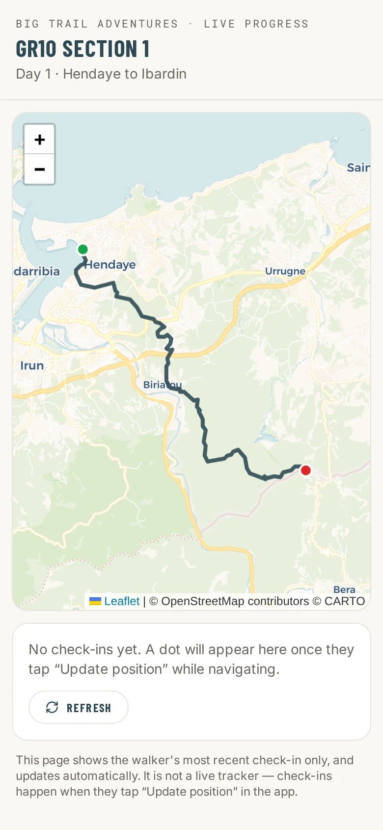
14:32
The private share link, showing walking progress on the map for friends and family at home
Share your position with people at home

For solo walkers

Travelling alone? You're still on the map.

Walking the Rob Roy Way on your own shouldn't mean going quiet for a week. We lend solo walkers a small satellite GPS tracker for the trail. It sits in the top of your pack, finds your position from the sky rather than a phone mast, and posts it automatically — so the people at home can see you moving even where there is no signal at all.

In the Trail Companion

  • Shares your position over the mobile network
  • You update it when you want to
  • Needs a phone signal to send anything

With our GPS tracker

  • Fixes your position from satellites, not phone masts
  • Posts automatically every 30 minutes — nothing to remember
  • Keeps working in the glens, on the cliffs and out of signal
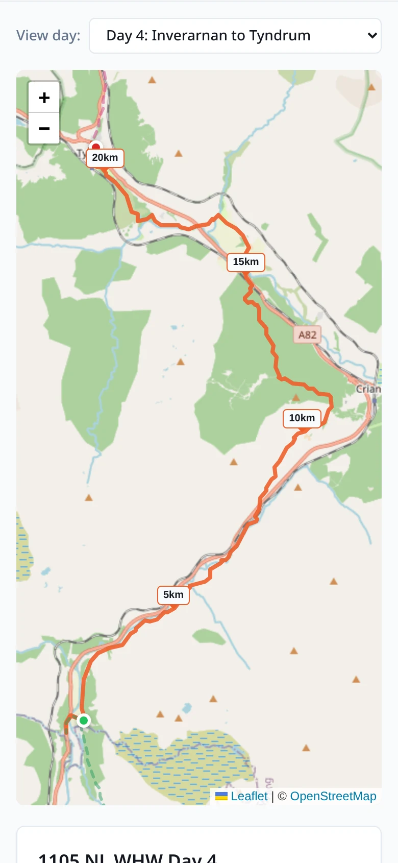
15:00
The satellite GPS tracker page, showing the day's route and the walker's live position on the West Highland Way
What your family sees — updated automatically

Book your Rob Roy Way adventure.

Your Rob Roy Way adventure
Configure your trip in the builder above and it will appear here.
Per Person
Trip Total
Deposit Today
  • Free cancellation to 60 days
  • Confirmation within 24 hrs
  • ABTOT financially protected
Not quite ready?

We'll start planning your trip right away. Not happy with anything? We'll adjust it or refund you — no questions asked.

ABTOT Member 5690

The Association of Bonded Travel Organisers Trust Limited (ABTOT) provides financial protection under The Package Travel and Linked Travel Arrangements Regulations 2018 for Big Trail Adventures (member 5690). Protection is provided for non-flight packages. Full details in our booking conditions.

Groups of six or more

Bringing a group? Everyone pays their own share.

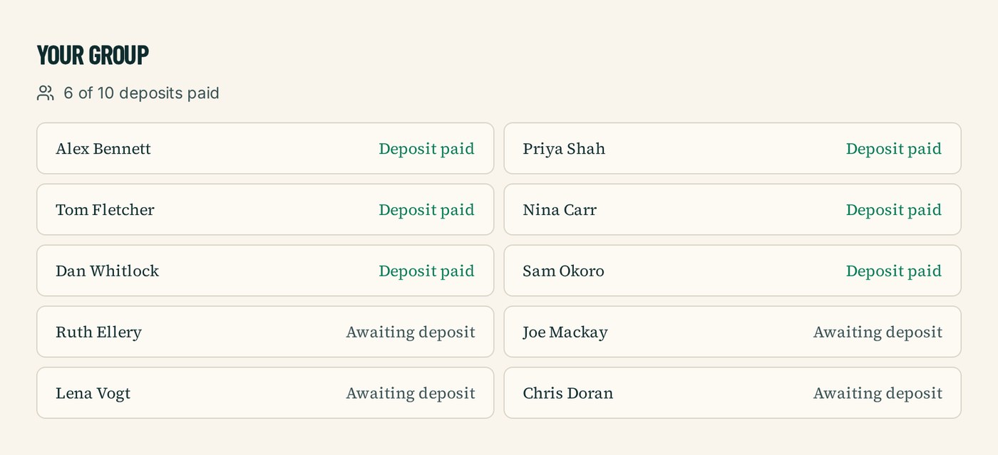
Book the Rob Roy Way as a private group departure and we'll give you your own trip page. One organiser agrees the trip with us; every walker then pays their own deposit by card and fills in their own details. No collecting bank transfers, no spreadsheet of who's paid.

A group trip page listing walkers and showing which deposits have been paid

Things walkers ask us.

How fit do I need to be?

If you're comfortable walking 22 kilometres a day with a daypack — roughly seven to eight hours of walking on a mix of forest tracks, lochside paths, and one stretch of open moorland — you'll manage the Hiker pace at six days. The Explorer pace at seven days softens the longer stages, particularly the 30km Aberfoyle to Strathyre day and the 27km Killin to Acharn stretch. No technical hill experience is needed.

When should I walk it?

May, June, September and October are the best months. May and June give long days and low midge counts; September and October give autumn colour and quieter trails. Mid-July and August work but bring Highland midges in numbers and busier accommodation. April is fine for the lower stages but the 565m high point on the Killin to Acharn day can still hold weather. Avoid November to March.

Do you include luggage transfer?

Yes, on every package. Your bags move from accommodation to accommodation while you walk with a daypack, with a 20 kilogram allowance per bag. The Killin to Acharn stage runs through a thinly-served stretch of south Loch Tay road — we plan transfers there with extra lead time. You'll find your bag waiting at each evening's stop.

What kind of accommodation do you book?

Family-run guesthouses, traditional inns, and small Highland hotels — en-suite rooms, breakfast, drying space for boots. We avoid chains. The Rob Roy Way passes through small villages with limited beds, so we book early — particularly on the Killin to Acharn stretch, where the Ardeonaig Hotel is the only practical overnight option. Most stops have a pub or shop for an evening meal.

Can I walk it solo?

Yes, easily. The Rob Roy Way is well-waymarked the whole way, and busy enough on the popular sections — Trossachs, Loch Tay, Aberfeldy — that you'll cross paths with other walkers most days. The exposed Killin to Acharn moorland stretch is the one to plan for: take a map, watch the weather, and start early. Single-occupancy rates apply to all our packages.

What's the realistic total cost?

Our Classic package starts at £749 per person — that covers your accommodation each night in family-run inns and guesthouses, daily luggage transfer, your custom GPX route, the planning service, and on-trail support. On-trail extras typically add £25 to £40 a day per person for lunches, evening meals, and drinks. Budget £900 to £1,000 per person in total for a comfortable trip.

Is this a self-guided Rob Roy Way walking holiday?

Yes. Every Rob Roy Way trip we run is self-guided: you walk the route on your own, at your own pace, with no group and no guide. We do the planning and the logistics — an itinerary of 3 – 7 days built around the pace you choose, accommodation booked in your name along the 128 km route, your main bag moved between stays each day, GPX files and route notes for every stage, and a real person on the end of the phone while you're out there. You choose your own start date; there are no fixed departures.

What's the difference between a self-guided and a guided Rob Roy Way trip?

On a guided trip you walk with a leader and a group to a fixed schedule. Self-guided means the day is yours: start when you like, stop for lunch where you like, walk fast or slowly, take a rest day. The route is waymarked and you navigate with the GPX and notes we provide. Everything that makes a trip complicated — accommodation, luggage transfer, the shape of each day — is arranged for you before you arrive.

Can I walk the Rob Roy Way without a guide?

Yes — the Rob Roy Way is a signed long-distance route and thousands of people walk it independently every year. What most walkers want help with isn't navigation, it's the 128 km of accommodation, the bag transfers, and getting the daily distances right. That's exactly what we take off your hands, while you still walk it under your own steam.

Who books the accommodation and moves my luggage?

We do, both. We book walker-friendly B&Bs, inns and small hotels in your name at each overnight stop, with breakfast, and arrange door-to-door luggage transfer between them so you walk with a daypack. You'll get a full itinerary with every address, check-in detail and transfer time before you travel.

How many days do I need for a self-guided Rob Roy Way?

Most people take 3 – 7 days for the 128 km. Our planner lets you set your own pace and number of nights, so you can stretch the trip out with shorter days or compress it if you're used to back-to-back big days — the itinerary, accommodation stops and price all update as you change it.

Craig, founder of Big Trail Adventures

Not sure what shape your trip should be?

The Rob Roy Way is the one I tend to suggest to people who've done the West Highland Way and want something quieter. It's not as dramatic, but you'll walk for days without seeing another walker. Pack for one big exposed day in the middle. The rest looks after itself.

Notes from Big Trails

From the trail journal.

Other trails we run.

Ready to plan?
Build your Trip