“Beautiful route, excellent organization by Big Trail Adventures and partners”
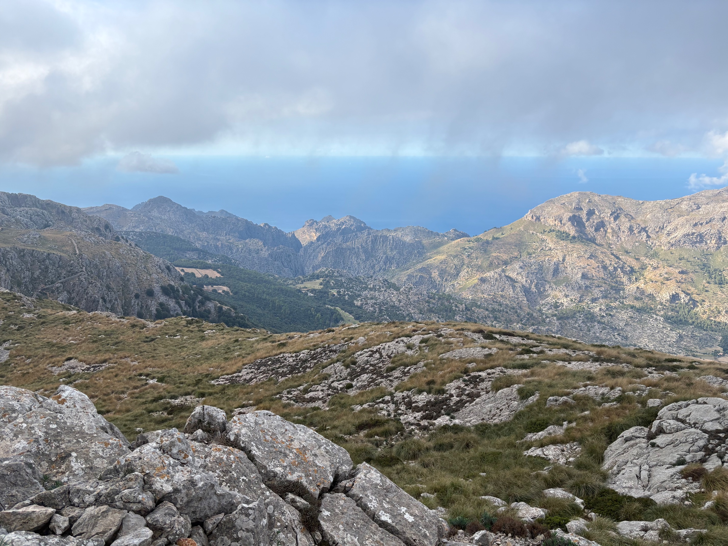
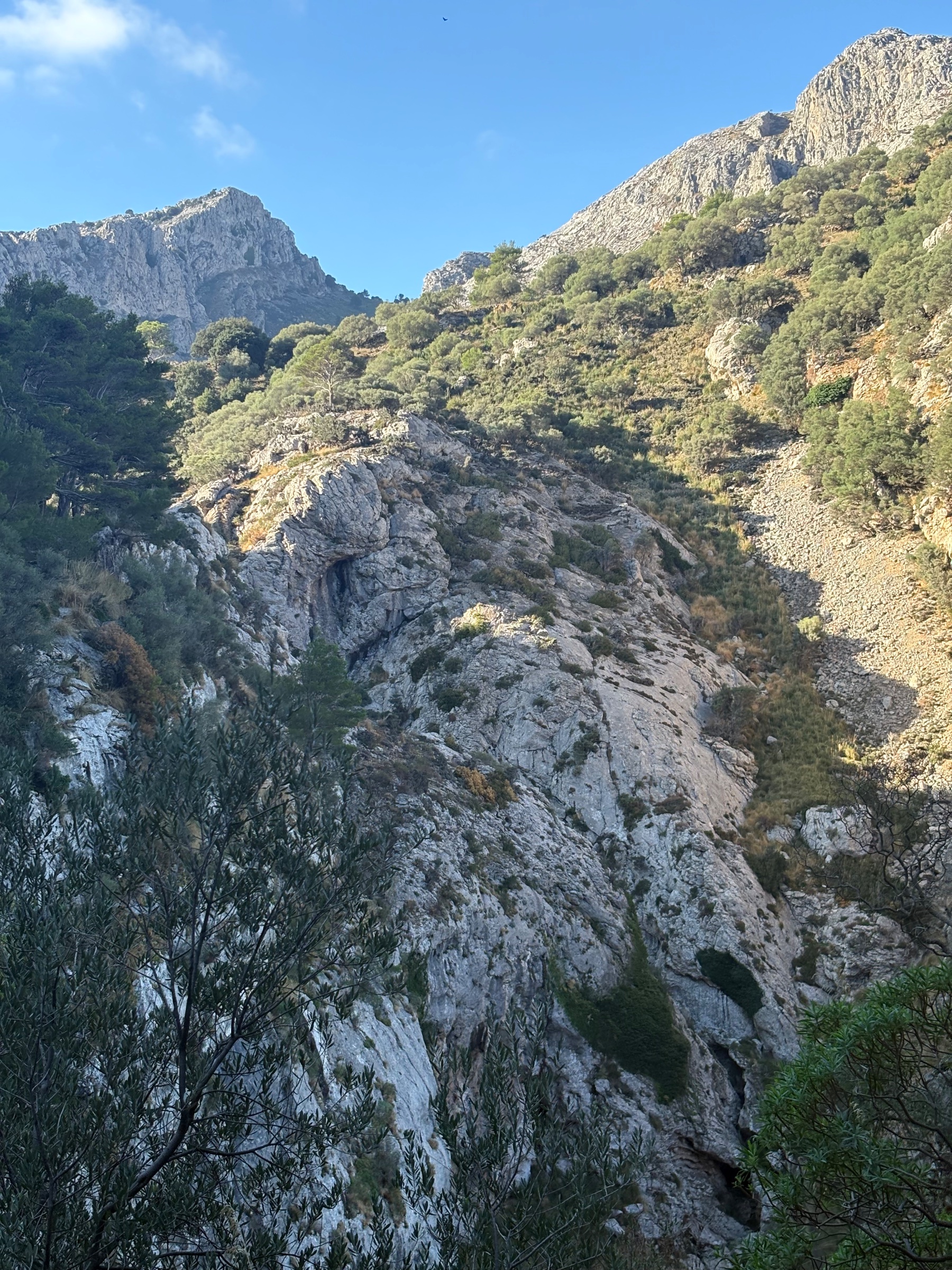
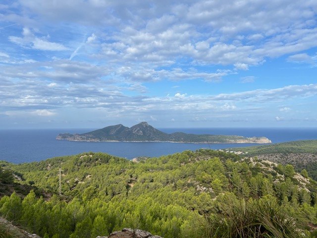
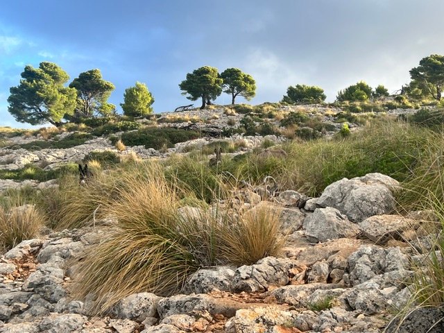
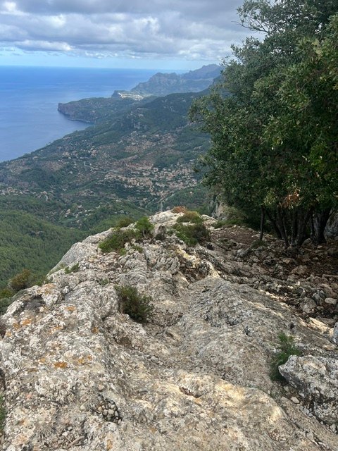
Everything about this trip was exceptional. The route is incredibly beautiful, the lodging every night was top notch, and the hiking was very doable. I scheduled an 8 day itinerary as I was recovering from a leg injury and wasn't sure how recovered I'd be by the start date. Fortunately, I was fully recovered and nothing on the hike resulted in re-injury; if felt like a great recovery period. Aside from the first day when thunderstorms rolled through, the weather was good -- partly cloudy to sunny every day with very comfortable temperatures (I was there Oct 7-14). I saw very few people on most sections of the route. As a solo, female traveler, I felt very comfortable and met several other solo women. The villages are beautiful and everyone if very friendly. One thing I found it difficult to get information on prior to the trip is the availability of water on the route. So, if you are planning this trip note that there is very little water available outside your starting and ending points, and any village you might go through during the day. Not knowing about water availability in advance, I took plenty of water each day, but it is important to be aware of this, especially if you are hiking in the warmer months. All in all a great trip!
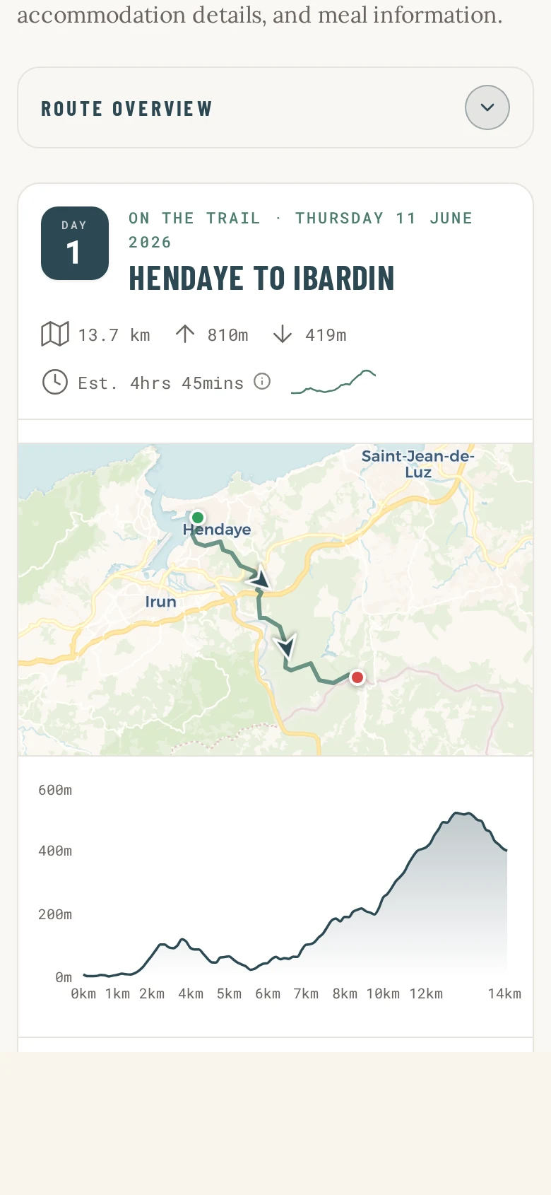
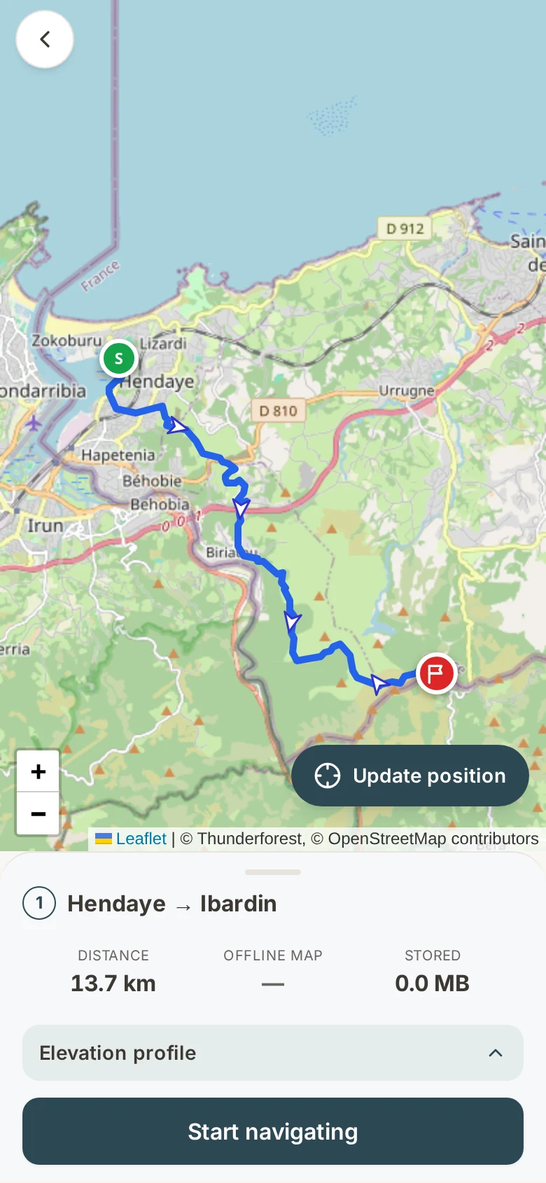
I requested a self-guided itinerary within a month of desired departure and Big Trail Adventures made it happen for me! Their planning, organization, and support during the hike was excellent! Navigation was flawless with the gps files they sent, the lodging was great, and all the restaurant recommendations they made that I tried were very good. I cannot recommend them highly enough.
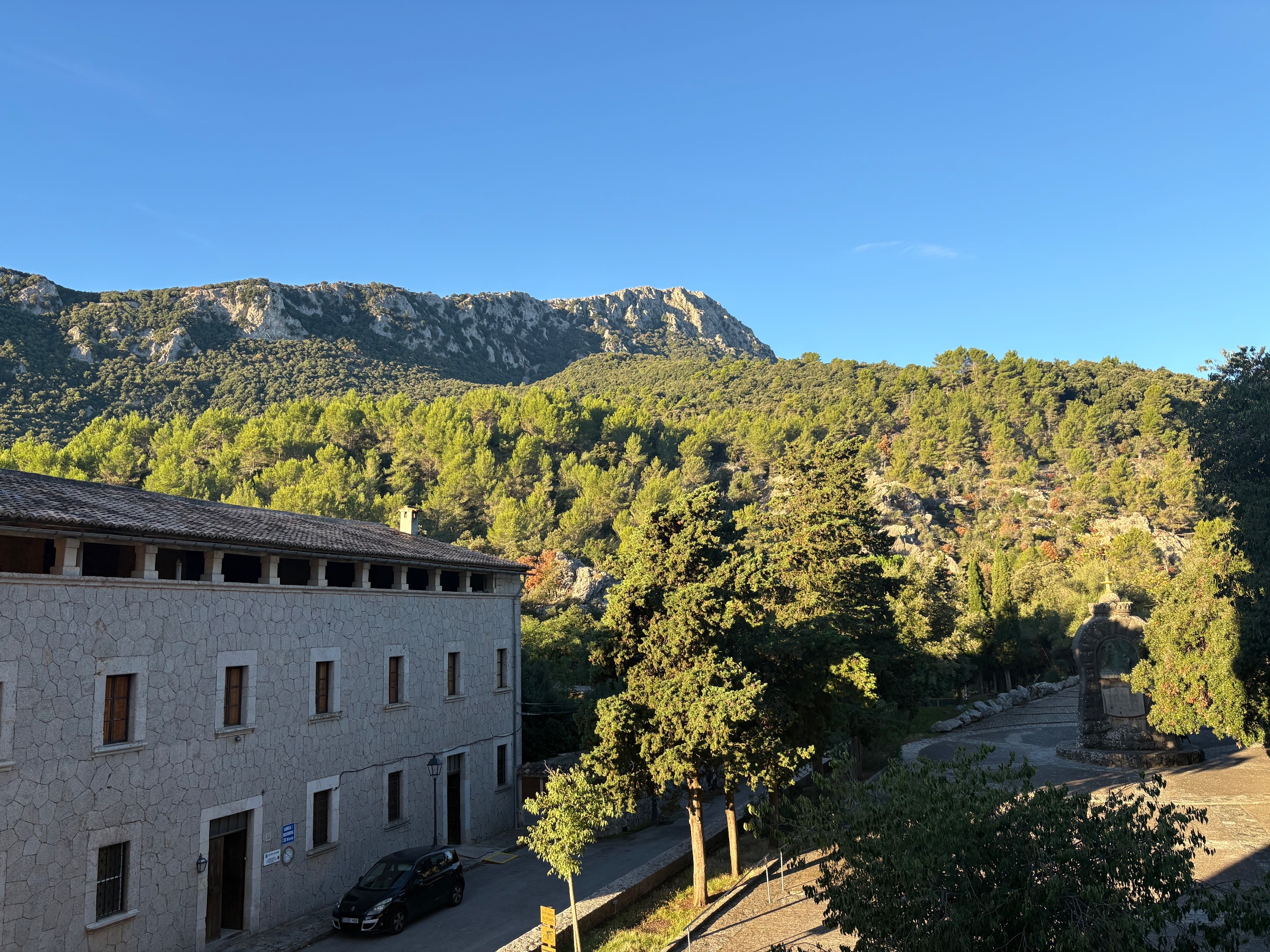
After 3 days of solitude on the trail, enjoying the immense beauty of the island, descending into Valldemossa on a Friday afternoon and turning the corner to suddenly be in the midst of a bustling tourist town was quite a shock! :-) The contrast was striking. When I departed at 8am the following morning; however, there was not a sole in sight!