How fit do I need to be?+
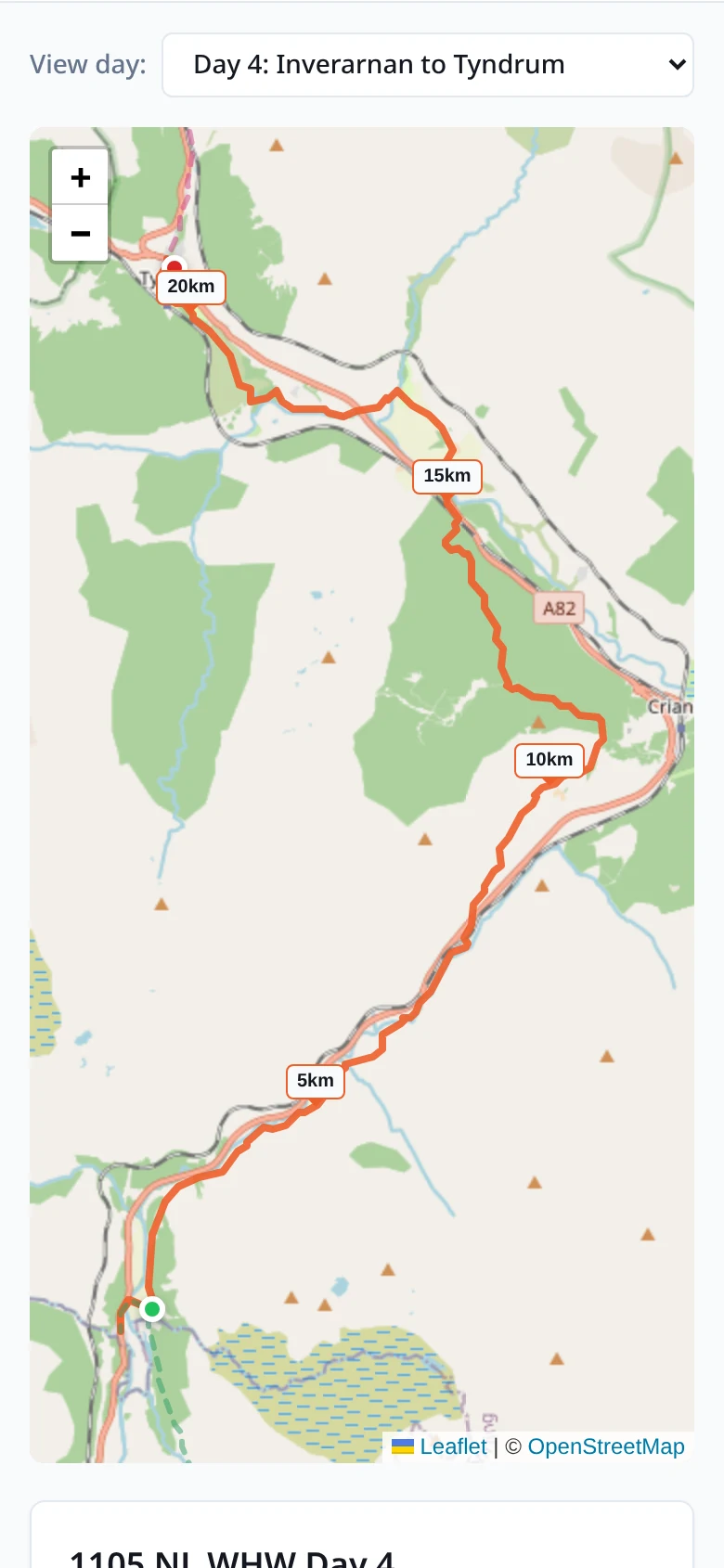
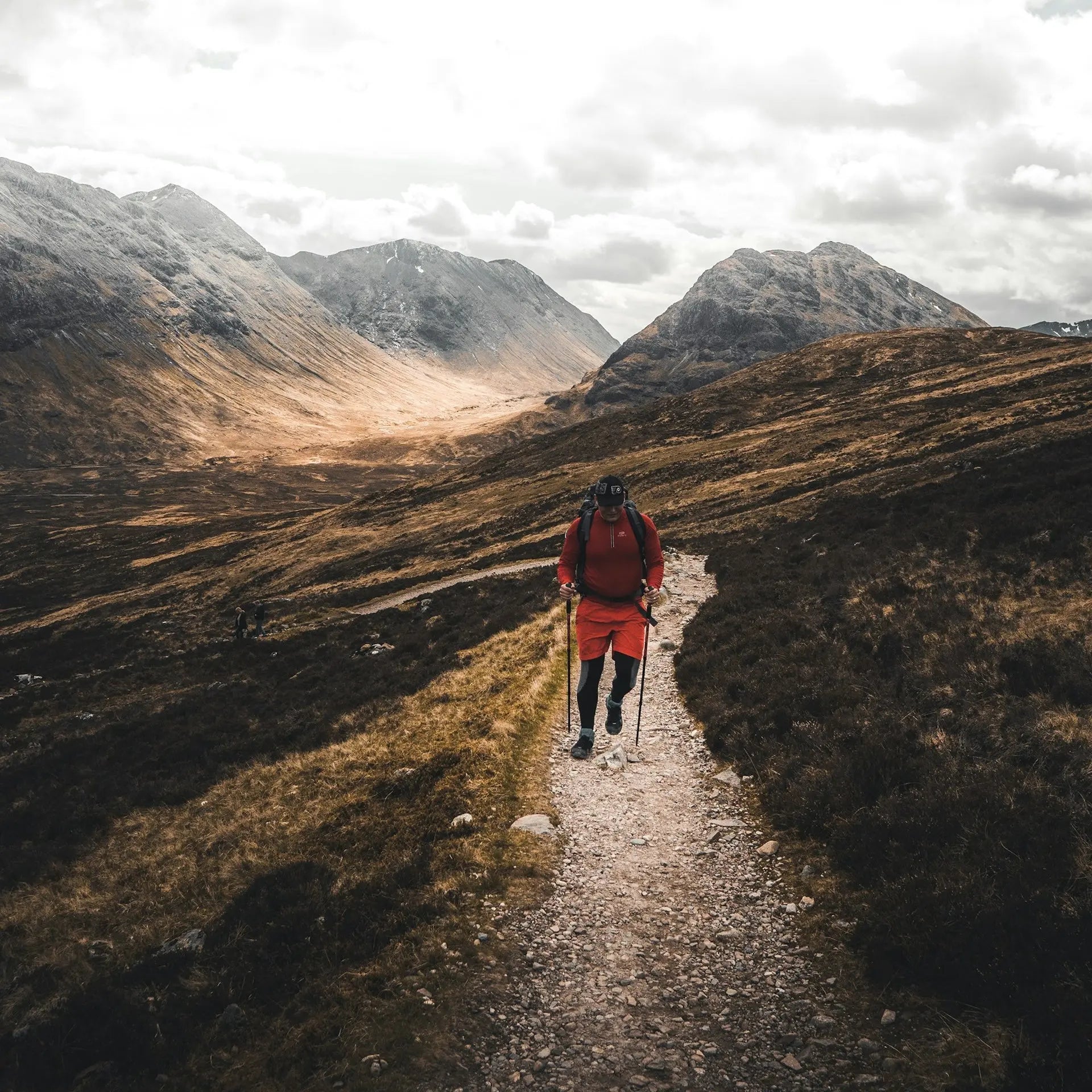
You'll want to be comfortable walking 15–20 km a day with around 1,000 metres of climb, on mountain terrain with some scrambling on rocky cols. This is one of the more demanding sections of the GR10 — the day from Fos to Araing Lake involves 1,680 metres of ascent, and the descents are long. If that feels steep, the Explorer pace stretches the trail to ten days at a more measured rhythm.
When should I walk it?+
June to September is the realistic window. The route crosses cols above 2,000 metres, and snow can linger on the highest passes into June. July and August give the most reliable weather but are also the busiest. Early September is often the sweet spot: paths still clear, refuges quieter, and the high country starting to turn. We don't run the route before June or after early October because the higher cols carry serious snow risk.
Do you include luggage transfer?+
Yes — between road-accessible accommodation, up to 20 kg per bag. The exception is the Refuge d'Araing at the end of Day 4: it sits beside a mountain lake with no vehicle access, so for that night you'll carry an overnight kit yourself. Your main bag waits for you at Eylie the next afternoon.
What kind of accommodation do you book?+
On the Standard package, gîtes d'étape and mountain refuges with breakfast — small, well-kept, the kind of places where the gardien remembers your name by the second night. On Premium, village hotels and guesthouses where the trail passes through inhabited valleys. The Refuge Jacques Husson at Araing is dorm-only for everyone — there are no rooms on a mountain lake — but the food is good and the staff have walked the route.
Can I walk it solo?+
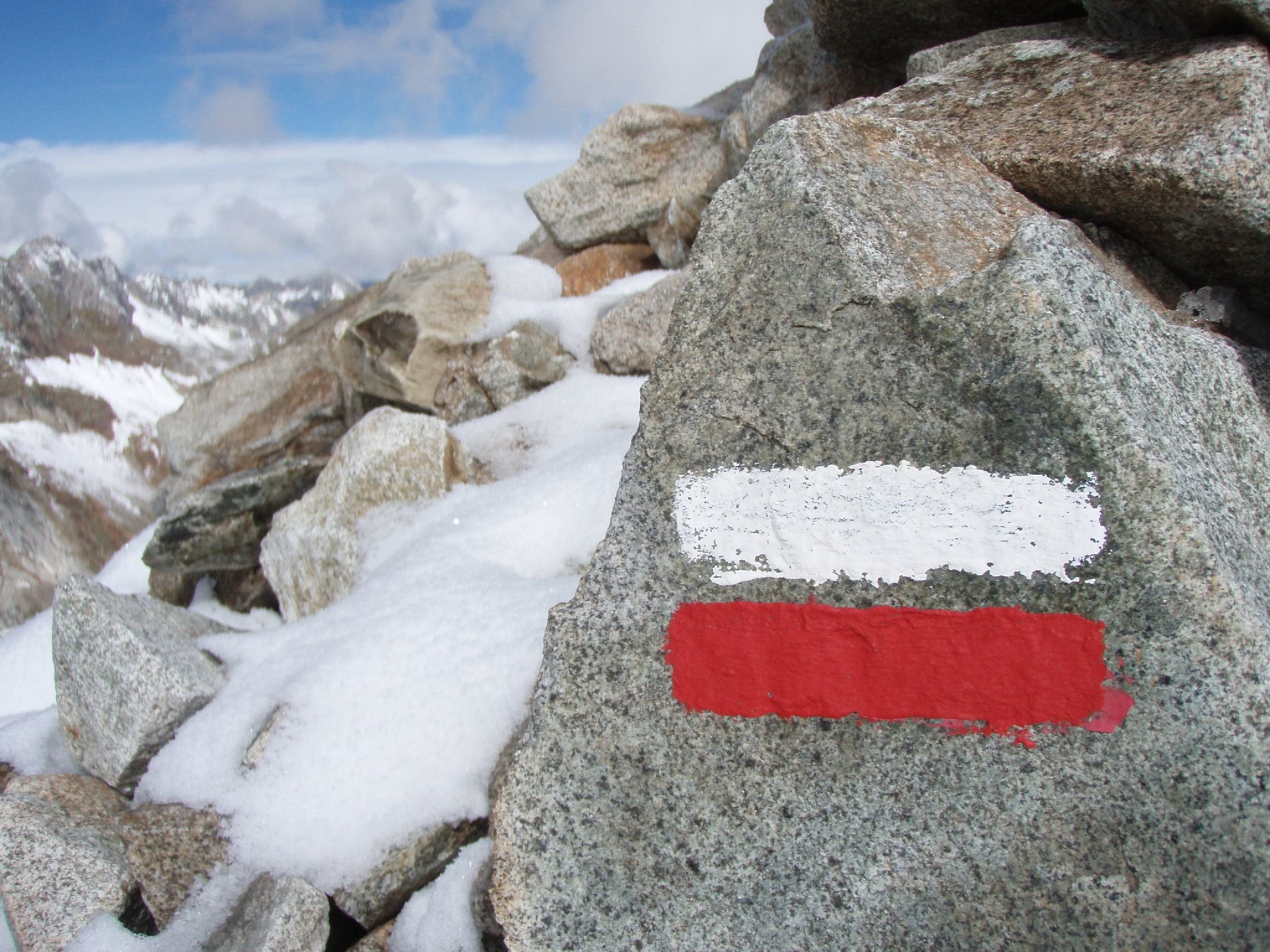
Yes — the GR10 is well-waymarked (red-and-white blazes the whole way), and the section is busy enough in summer that you'll meet other walkers most days. We book single-occupancy rooms with a single supplement where the accommodation has them. The exception is the dorms at Araing — those are shared, but most refuges have a women-only option. The remote middle days are the ones where you'll go longest without seeing anyone — fine in good weather, worth checking the forecast.
What's the realistic total cost?+
Our Standard package is £1,631 per person for the eight-day Hiker pace, based on two people sharing. That covers accommodation (gîtes and refuges with breakfast), baggage transfer where the route allows, a route pack with maps and notes, and 24-hour support. On the trail, budget around €25–40 a day per person for lunches, evening meals, and drinks. Most refuges offer a demi-pension — dinner, bed, breakfast for around €55–70 — which is the easiest way to handle food and lodging.
Is this a self-guided GR10 Section 5: Luchon to Aulus les Bains walking holiday?+
Yes. Every GR10 Section 5: Luchon to Aulus les Bains trip we run is self-guided: you walk the route on your own, at your own pace, with no group and no guide. We do the planning and the logistics — an itinerary of 3 – 7 days built around the pace you choose, accommodation booked in your name along the 124 km route, your main bag moved between stays each day, GPX files and route notes for every stage, and a real person on the end of the phone while you're out there. You choose your own start date; there are no fixed departures.
What's the difference between a self-guided and a guided GR10 Section 5: Luchon to Aulus les Bains trip?+
On a guided trip you walk with a leader and a group to a fixed schedule. Self-guided means the day is yours: start when you like, stop for lunch where you like, walk fast or slowly, take a rest day. The route is waymarked and you navigate with the GPX and notes we provide. Everything that makes a trip complicated — accommodation, luggage transfer, the shape of each day — is arranged for you before you arrive.
Can I walk the GR10 Section 5: Luchon to Aulus les Bains without a guide?+
Yes — the GR10 Section 5: Luchon to Aulus les Bains is a signed long-distance route and thousands of people walk it independently every year. What most walkers want help with isn't navigation, it's the 124 km of accommodation, the bag transfers, and getting the daily distances right. That's exactly what we take off your hands, while you still walk it under your own steam.
Who books the accommodation and moves my luggage?+
We do, both. We book walker-friendly B&Bs, inns and small hotels in your name at each overnight stop, with breakfast, and arrange door-to-door luggage transfer between them so you walk with a daypack. You'll get a full itinerary with every address, check-in detail and transfer time before you travel.
How many days do I need for a self-guided GR10 Section 5: Luchon to Aulus les Bains?+
Most people take 3 – 7 days for the 124 km. Our planner lets you set your own pace and number of nights, so you can stretch the trip out with shorter days or compress it if you're used to back-to-back big days — the itinerary, accommodation stops and price all update as you change it.