No video has been set for this product.
Wainwrights: Eastern Fells Overview
- A continuous route linking all Eastern Fells
- Conquer 35 Wainwrights in one route
- Classic ridges, beautiful lakes and picturesque villages
Developed by Karen and Dan Parker, the award-winning authors of 'Peak Bagging-the Wainwrights', this is the ultimate continuous trail for anyone looking to conquer all 35 summits of the Eastern Fells. This challenging multi-day trek is a feast for the eyes and a true test of endurance, offering an unforgettable journey through some of the Lake District's most iconic and dramatic landscapes. Over approximately 100km and 5,000m of ascent, you'll be immersed in the heart of Wainwright...
| Hilliness | |
| Start Point | Aira Force |
| End Point | Ambleside |
| Activity Type | Walking, Hiking, Trail Running |
| Distance | 100km | 62 miles |
| Ascent | 5,330m | 5,100m |
| When to go | May to October |
| Baggage Transfer | Yes |
Custom Adventure Plan: £99.00
Book Now
Not ready to book?
Call us on 0131 560 2740
or enquire by email
What's included?
-
Custom Adventure Plan
-
Accommodation options for you
-
Door‑to‑door GPX in our app
-
On‑trail support
-
Share with up to four people
Sample Itinerary
Here's what's on the trail. We'll split the stages to each day just right for your pace.
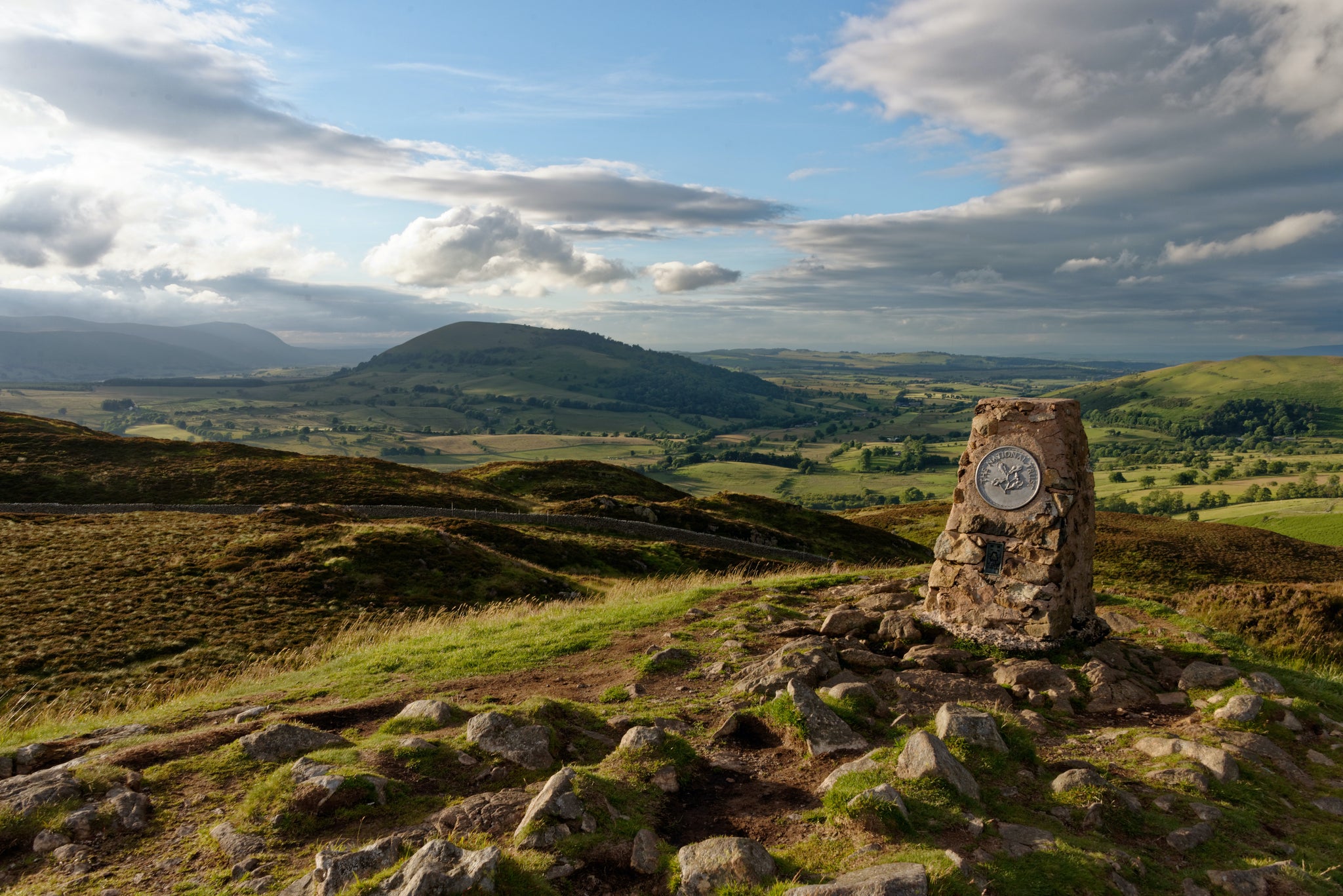
Start at Aira Force car park (served by buses 508, 509, UB1). The trail passes the 20m waterfall, follows Aira Beck north, then turns east toward Gowbarrow Park. Climb Gowbarrow Fell (481m) for stunning Ullswater views, then descend steeply through woodland to a road. Next, ascend Little Mell Fell (505m), a grassy isolated peak offering panoramas of the Eden Valley. Continue to Great Mell Fell (537m), crossing farmland and woodland for vistas toward Penrith and the Pennines. Descend to the road, then follow it to Ulcat Row. A grassy path leads to Dockray village, ending at The Royal Hotel for refreshments.
From Dockray, the path winds through woodland and open fellside, passing historic mine works before a steep, rugged climb to Clough Head (726m), offering views of St Johns in the Vale. The route continues over Great Dodd (857m), Watsons Dodd (789m), and Stybarrow Dodd (843m), with sweeping vistas of Skiddaw and the Eden Valley. Next is Hart Side (756m), then Raise (883m) via Sticks Gill, followed by White Side (863m).
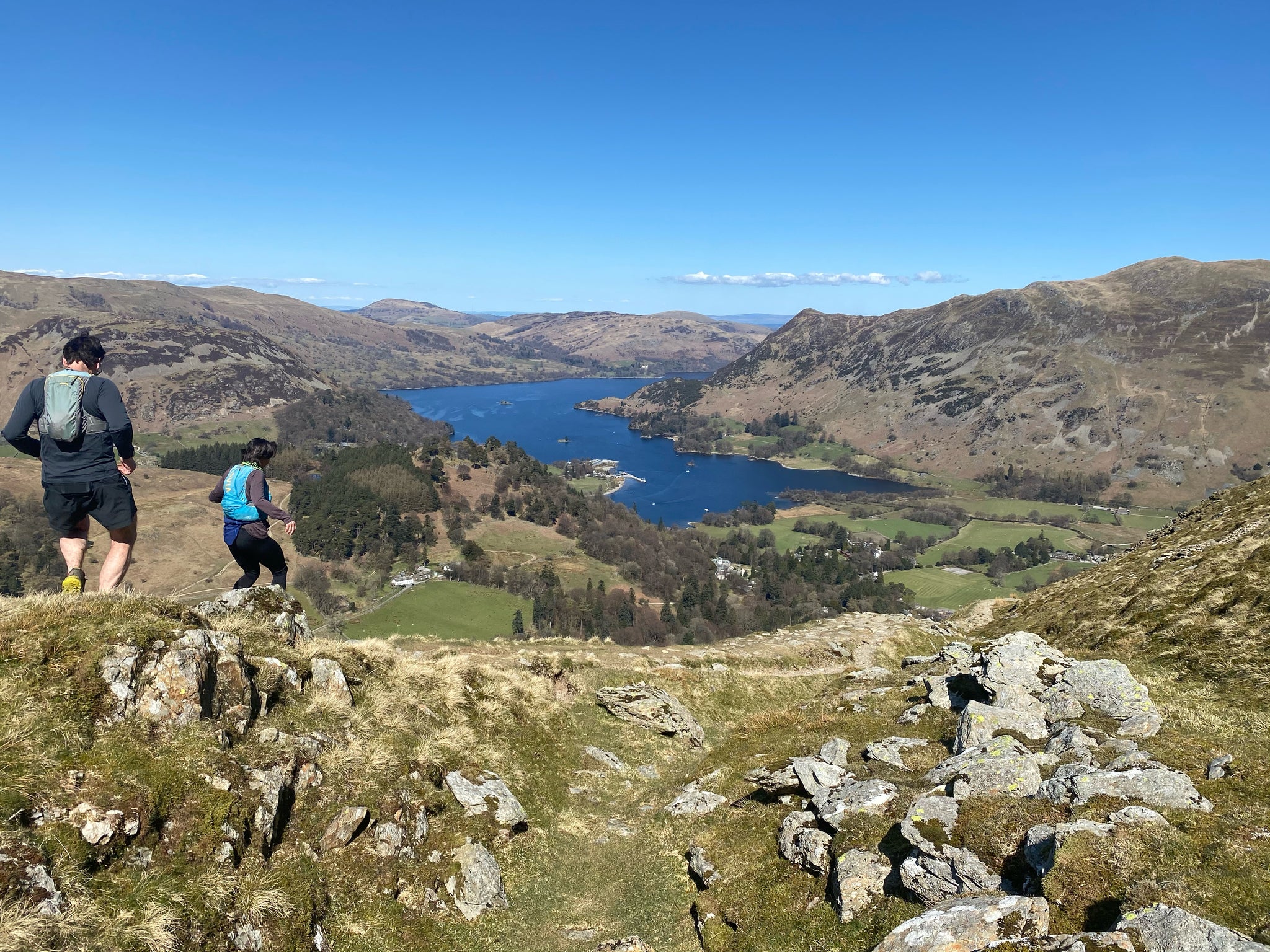
A steep descent precedes the climb to Sheffield Pike (675m), with boggy sections and Ullswater views. The rugged trail drops past Heron Pike before ascending Glenridding Dodd (442m), overlooking Ullswater. Retrace steps briefly, then descend the loose, gravelly Rake path toward Glenridding, passing ferns before reaching Greenside Road. The village offers cafés, shops, and the Travellers Rest for refreshments.
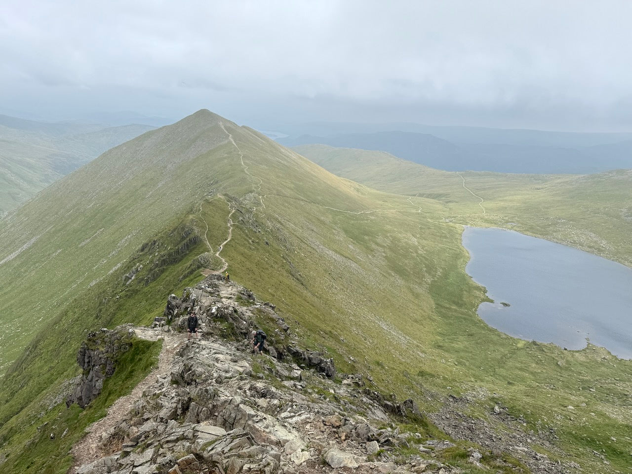
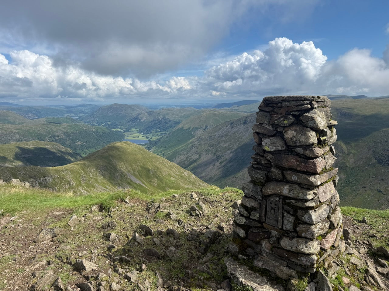
From Glenridding, climb Birkhouse Moor (718m) for views of Helvellyn, Swirral Edge, and Striding Edge. Descend to Red Tarn, then ascend Catstye Cam (890m), a sharp peak with stunning vistas. Traverse Swirral Edge—a narrow, exposed arête requiring scrambling—to reach Helvellyn (950m), England’s second-highest peak, offering panoramic views.
Continue along the ridge to Nethermost Pike (891m) and Dollywaggon Pike (858m), with Windermere vistas, before descending to Grisedale Tarn. Climb Seat Sandal (736m), then return to the tarn and ascend St Sunday Crag (841m) for Grisedale views. Descend steeply via Birks (622m) and Arnison Crag (433m), overlooking Patterdale.
The final stretch crosses Deepdale Common to Patterdale village, where the White Lion Inn, Patterdale Hotel, and tea rooms await.
From Patterdale, the path climbs steadily through woodland and open fells to Hartsop above How (686m), then continues along the ridge—grassy, stony, and occasionally boggy—to Hart Crag (823m). The rocky ascent to Fairfield (873m) rewards with panoramic views of Scafell Pike, Bowfell, and the Pennines.
Descend south to Great Rigg (766m), then detour to Stone Arthur (504m) for Grasmere vistas. Continue over Heron Pike (612m) and Nab Scar (455m) on well-worn paths before dropping through bracken to Rydal. Refuel at the Glen Rothay Hotel, Badger Bar, or Rydal Hall, with bus links to Ambleside.
The trail then turns southeast toward Ambleside.
From Scandale Beck, climb Low Pike (508m) for views of Grasmere and Rydal Water. Continue along the ridge to High Pike (657m) and Dove Crag (792m), with panoramic vistas of the Fairfield Horseshoe and Scafell Pike. The trail then leads to Little Hart Crag (637m), detouring to High Hartsop Dodd (519m) for dramatic Deepdale views.
Return to Little Hart Crag before crossing Middle Dodd (654m) on a grassy ridge. The final ascent up Red Screes (779m) rewards with sweeping views of Windermere, the Coniston Fells, and Pennines, plus a striking vista down to Kirkstone Inn.
A long 5km descent leads to Ambleside, with the last stretch on Kirkstone Road. The town offers plentiful cafés, pubs, and restaurants, while bus 555 connects to Windermere station for onward travel.
How long will it take?
Everyone has a different approach to trails. Here are our suggested times for the Wainwrights: Eastern Fells for different types of adventurers.
Here we have assumed that you will be out on the trail for around 8 hours per day, including regular breaks but not extended lunch stops.

7
Days
For walkers who love the journey as much as the destination.
You enjoy full days on the trail, moving steadily, soaking up the scenery — with plenty of time for food and drink stops along the way!

6
Days
For long-distance walkers who enjoy the challenge of a steady pace over varied terrain.
You’ve got the fitness to cover strong distances over several days — this is where most keen hikers will find themselves.

4
Days
The first of our faster categories — built for those who prioritise pace.
You move quickly with minimal stops, carry just the essentials, and have the fitness to handle long days and tough terrain.

3
Days
Our fastest pace – ideal for those used to ultramarathons.
You mix fast hiking with running on flats and descents, even over mountains. Speed and efficiency matter most, with minimal stops as you aim to complete each route as quickly as possible.
Essential Travel Information
Wainwrights' Eastern Fells are best hiked between May and early October, with June and September offering ideal conditions – warm temperatures, longer daylight hours, and typically more stable weather patterns. Mid-summer (July-August) brings the advantages of long daylight hours but coincides with school holidays, resulting in busier trails and accommodations.
Spring (April-May) rewards hikers with vibrant wildflowers and new foliage, while autumn (September-October) offers spectacular color changes and atmospheric misty mornings. Winter hiking (November-March) is possible for experienced trekkers but requires proper equipment and advanced navigation skills, as waymarking may be obscured by snow and daylight hours are significantly reduced.
The Lake District's weather is notoriously changeable in all seasons. Rain is possible year-round (the region receives an average of 200+ rainy days annually), with extended periods of settled weather more likely in late spring and early autumn. Summer thunderstorms can develop quickly, particularly in the afternoon. Always check mountain weather forecasts before departing each morning.
Seasonal hazards include:
- Spring: Snowmelt can create boggy conditions, particularly on Stake Pass
- Summer: Heat exhaustion on exposed sections; limited water on northern fells
- Autumn: Earlier nightfall requires careful timing; river crossings may become problematic after heavy rain
- Winter: Short daylight hours, snow/ice on higher sections, limited accommodation availability
All facilities along the route operate year-round, though some accommodation providers may reduce service during winter months.
The Eastern Fells offer diverse accommodation options at each traditional stopping point:
Hotels/Inns (£80-£150/night):
- The Royal Hotel in Dockray
- The Ullswater Inn in Glenridding
- The Patterdale Hotel in Patterdale
- Many hotels in Ambleside
B&Bs/Guesthouses (£60-£100/night):
- Present in all overnight stops plus smaller settlements
- Typically include hearty breakfasts perfect for hikers
- Often family-run with local knowledge
Hostels/Bunkhouses (£20-£35/night):
- YHA Helvellyn
- YHA Ambleside
- Independent bunkhouses
Camping (£8-£15/night):
- Formal campsites in Glenridding, Patterdale, Rydal and Ambleside
- Wild camping technically requires landowner permission but is tolerated in remote areas above the highest fell wall if practiced responsibly
Booking recommendations:
- Reserve accommodation 2-3 months in advance for summer hiking
- 4-6 weeks advance booking sufficient for shoulder seasons
- Weekend availability is limited year-round
- Glenridding and Patterdale accommodations book particularly quickly
Popular stopover points:
- Dockray, Glenridding, Patterdale, Rydal, Ambleside.
Nearest airports:
- Manchester International Airport (2 hours by train to Penrith/Oxenholme)
- Glasgow International Airport (2 hours by train to Penrith/Oxenholme)
- Newcastle International Airport (2.5 hours by train to Penrith/Oxenholme)
Local transportation:
- Bus services connect most villages along the route (Stagecoach Cumbria)
- Taxi services available in larger settlements (pre-booking essential)
- The 508 and 599 buses link up Dockray and Ambleside
Trailhead access:
- Aira Force start point: direct from car park and bus stop
- Ambleside end point: bus station in centre with good links
Evacuation points and bail-out options:
- Stage 1: no bail-out points
- Stage 2: possible to drop down to Legburnthwaite or Swirls car park, with bus stops
- Stage 3: Possible to drop down to Swirls car park or Dunmail Raise, with bus stops
- Stage 4: Limited options – Stone Arthur offers the only potential exit point to Grasmere
- Stage 5: Limited options - High Hartsop Dodd and Middle Dodd offer exits to the A592
Accommodation costs (per person per night):
- Budget: £30-£45 (hostels, camping)
- Mid-range: £60-£100 (B&Bs, guesthouses)
- High-end: £100-£150+ (hotels, country inns)
Transportation expenses:
- Return train ticket London-Penrith/Oxenholme-London: £85-£150 (advance booking)
- Local buses: £4-£8 per journey
- Taxi transfers (when necessary): £20-£40 depending on distance
Food and supplies:
- Pub/café meals: £12-£20 per main course
- Supermarket supplies for self-catering: £10-£15 per day
- Packed lunches from accommodation: £7-£10
Additional costs:
- No permits required for the trail itself
- Maps/guidebooks: £15-£25
- Weather/equipment considerations: Quality waterproofs essential (£100+ if purchasing)
Total budget guidelines (excluding gear):
- Budget approach (camping/hostels, self-catering): £45-£60 per day
- Standard approach (B&Bs, mix of eating out/self-catering): £90-£120 per day
- Comfort approach (hotels, eating out): £150-£200+ per day
The Eastern Fells experience moderate traffic compared to other more established Lake District routes, with distinct patterns throughout the year:
Peak seasons:
- July-August: Busiest period, coinciding with school holidays
- Weekends year-round, particularly bank holiday weekends
- The section beyond Dockray remains relatively quiet even in peak season
Quieter alternatives:
- Mid-week hiking outside school holidays
- May and late September/early October offer excellent conditions with fewer fellow hikers
Cultural considerations:
- Respect for farming activities – close gates, keep dogs leashed during lambing season (March-June)
- "Right to roam" in England gives access to open country, but respect private land
- Traditional Lake District customs include friendly greetings to fellow walkers
Typical hiker demographics:
- Predominantly 40+ age group, though increasing numbers of younger hikers
- Mix of British trekkers and international visitors (particularly German, Dutch, and American)
- As this is not an established route most hikers will be independent hikers, with few guided groups
Opportunities for solitude:
- Early morning departures (before 8am) typically offer quieter trail conditions
- Detours to higher ground away from the main path often reward with solitude
- Winter months offer near-solitude but require appropriate experience and equipment
The Eastern Fells strike an excellent balance between sociability and solitude. Village stops provide opportunities to meet fellow trekkers and locals alike, while long stretches of open countryside allow for peaceful reflection amid some of England's finest landscapes.
